With 363 miles of rugged coastline, Oregon was a top choice for our next family vacation. Because we were tacking this onto the back end of a previously scheduled trip to Alaska, we had to make the most of our time. I didn’t care what we did in Oregon as long as it included Haystack Rock at Cannon Beach.
Cannon Beach
From Astoria, we drove south to Cannon Beach. The bustling beach town teams with restaurants, resorts and traffic. However, we continued on to Tolovana Beach State Recreation Site to access the beach.
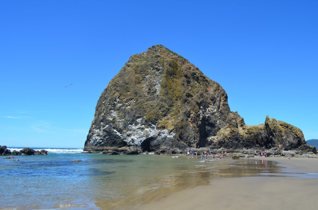
On the sandy beach, kids laughed and families picnicked. And in the distance, Haystack Rock stuck out from the ocean. We kicked off our shoes and walked on the sand to get closer.
I didn’t realize how massive Haystack Rock really was until we got closer and I could see people like little dots around the base. And what seemed like a short walk from where we parked at Tolovana ended up being almost a mile before we reached the 235-foot rock structure.
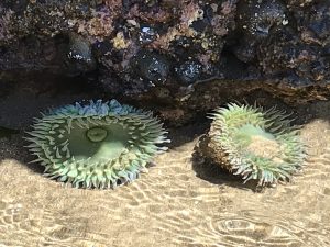
Because it was low tide, we could walk right up to it and see the tidal pools. Under the water were sea anemones and other marine life. The water was so clear, it didn’t seem real – until you put your toes in it and it was frigid!
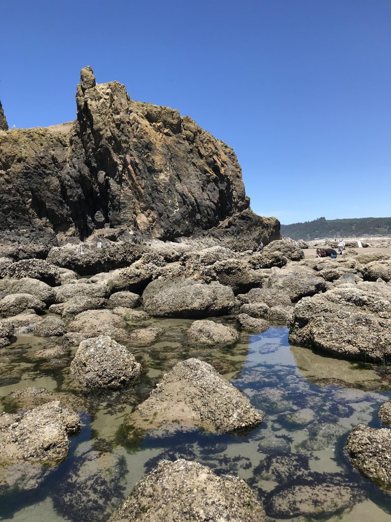
Scientists believe Haystack Rock and other basalt structures off Oregon’s coast formed 15 million years ago from lava flows. These flows became part of the ocean floor. Somehow with the earth’s crust shifting over time, the floor rose and created a coastal plain. A few million years later, erosion took away the coastal plains except for a few of these remaining structures.
If you’re looking for beach towns without Cannon Beach’s congestion, go south to nearby Neahkahnie Beach or Manzanita.
Three Capes Scenic Loop
Just west of Tillamook, we drove the 40-mile Three Capes Scenic Loop which encompasses three state parks: Cape Meares, Cape Lookout and Cape Kiwanda.
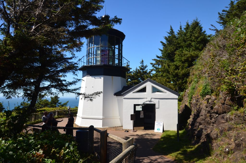
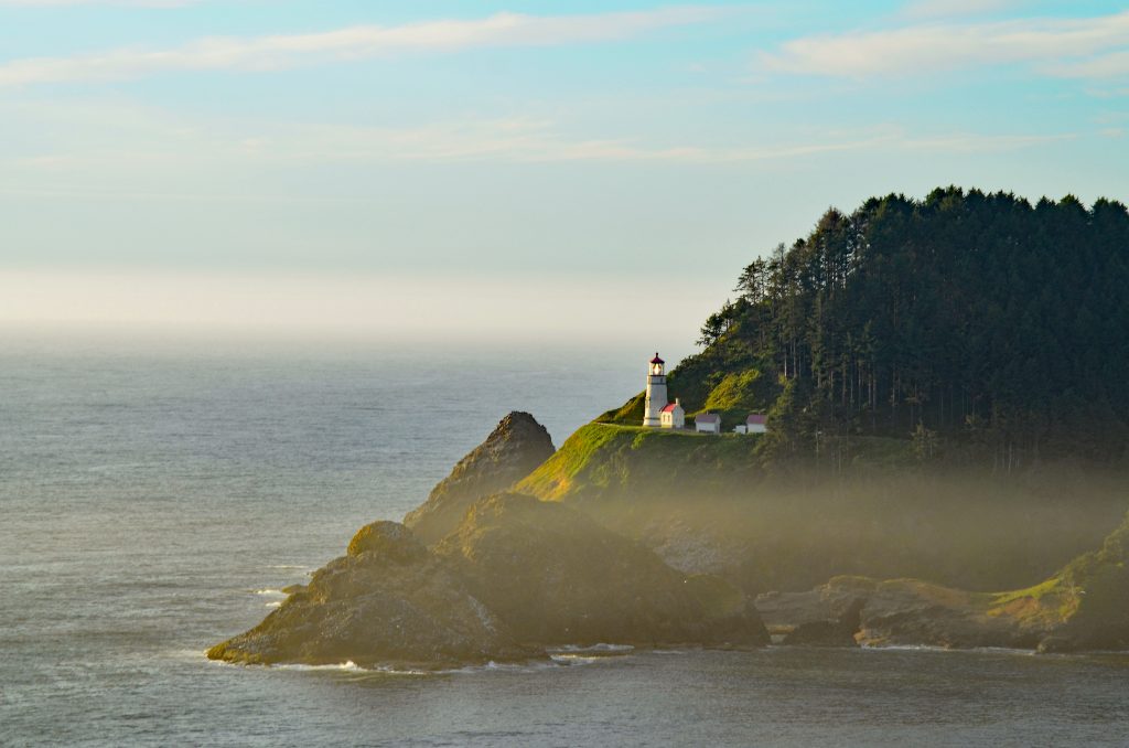
At the tip of Cape Meares is a lighthouse. In operation from 1890 to 1963, the lighthouse is short and stubby at only 38 feet. However, given the cape’s location at 200 feet above the ocean, the signal could be seen as far as 21 miles away.
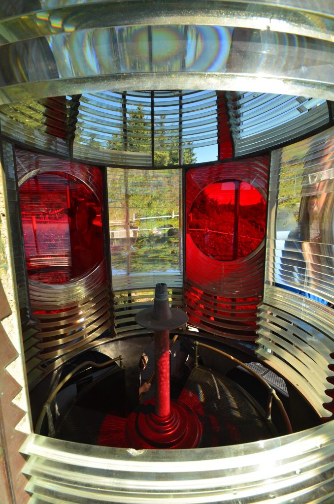
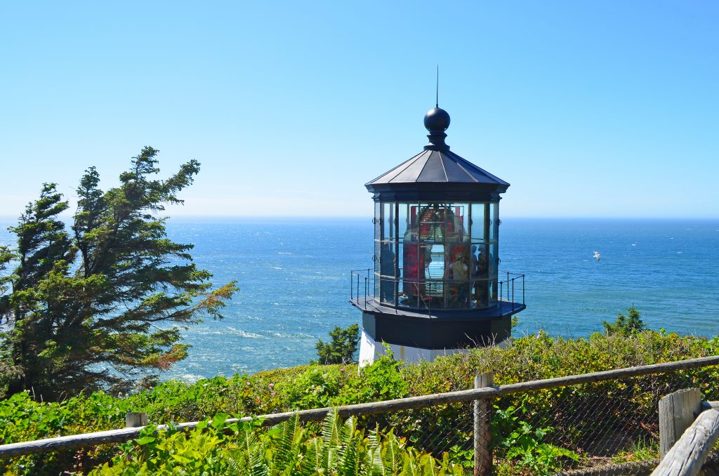
We took a guided tour of the French-made Fresnel lens where we learned the lens made a complete revolution every four minutes. At one minute intervals, the lens would flash red per it’s assigned identification signal. Until then, I never knew that every lighthouse has it’s own signal pattern so that sailors know exactly where they are on the coast.
.
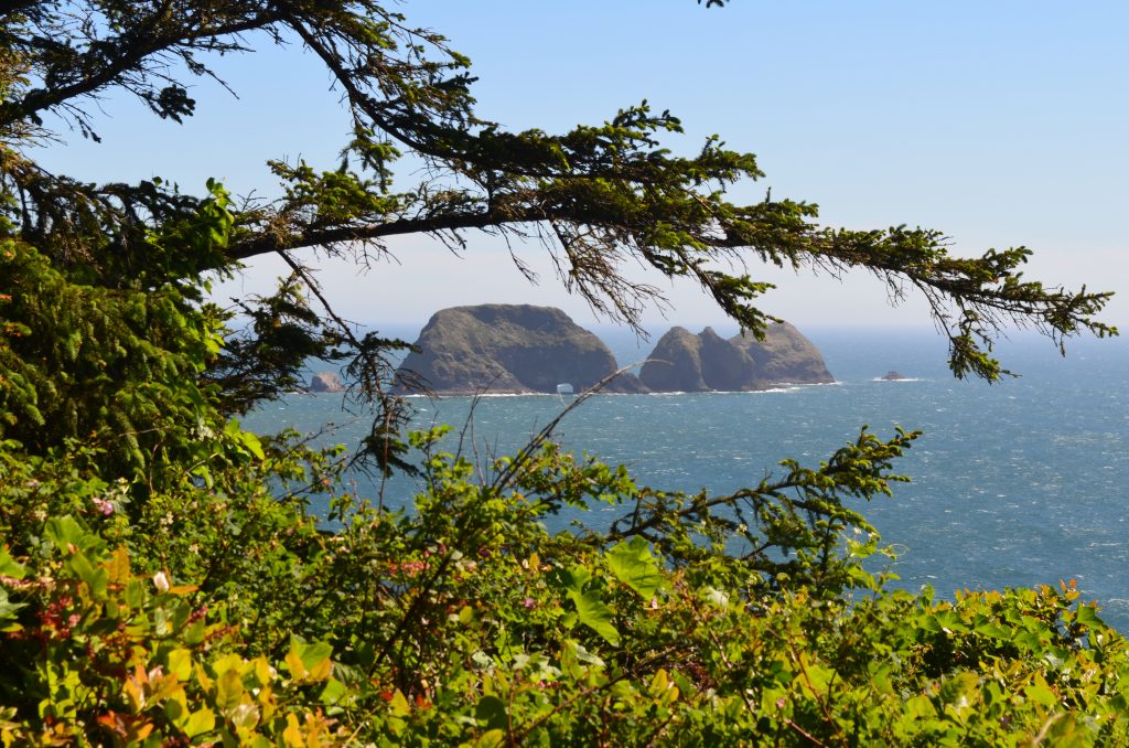
The drive hugged the coastline to Cape Lookout where we got a closer view of Three Arch Rock and then to Cape Kiwanda before turning inland at Pacific City.
Yaquina Head & Central Coast
Continuing south along 101, we drove along the rugged coastline through Pacific City, Lincoln City and Depoe Bay before entering Yaquina Head Oustanding Natural Area.
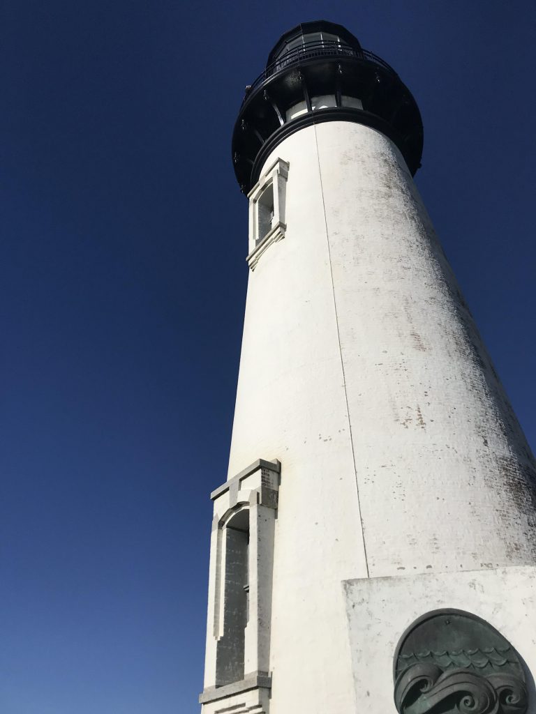
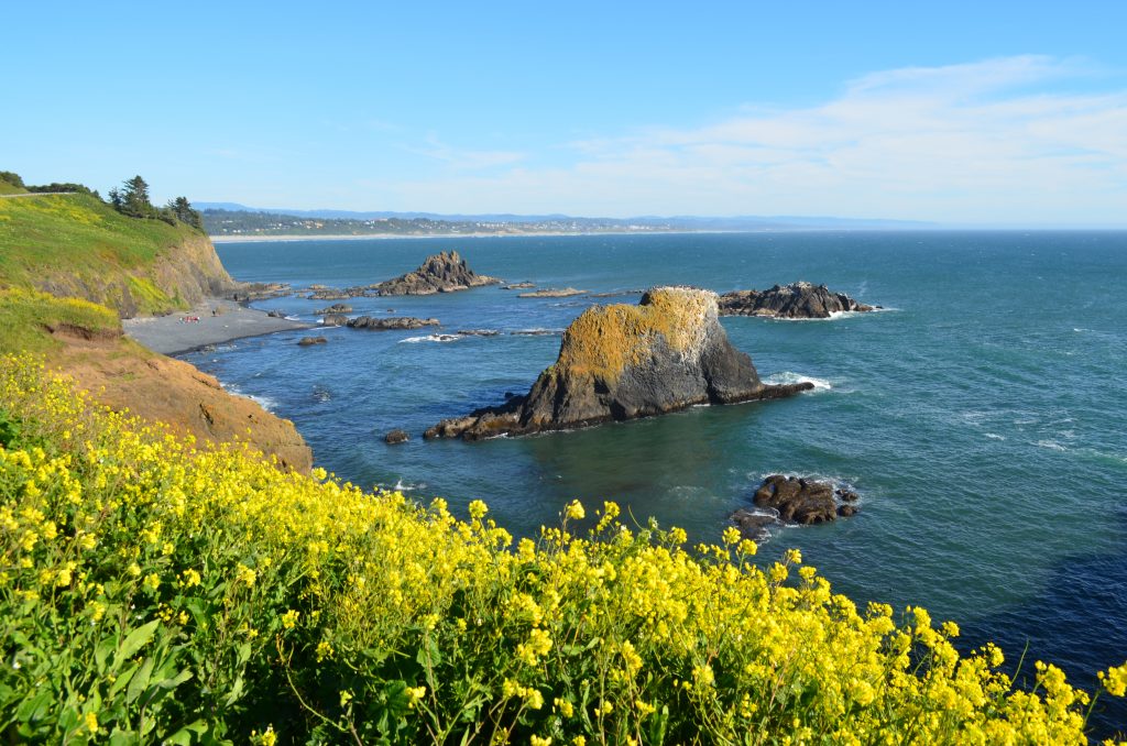
Oregon’s tallest lighthouse resides here at 93 feet. Although both the lighthouse and interpretive center were closed, we enjoyed walking around some of the trails that looked over the ocean where bright yellow flowers flapped wildly in the wind.
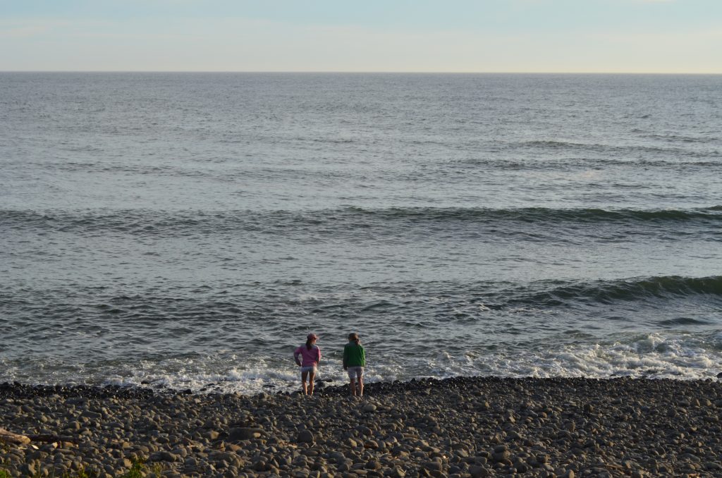
After dinner in Yachats, we were on the last leg of that day’s journey. But first, I wanted to listen to the waves once more. Here the waves crashed into the rocks and then made a crackling sound as it seeped past the smaller rocks back toward the ocean.
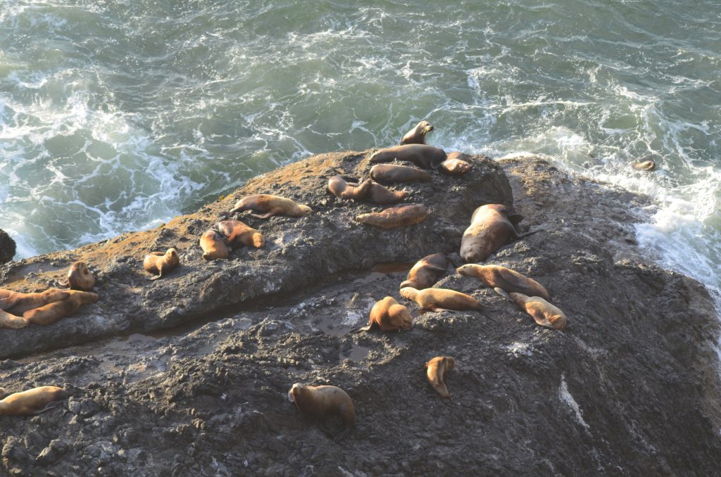
No trip to Oregon’s coast is complete without seeing the multitudes of sea lions laying on the rocks. Although we didn’t stop at Sea Lion Caves because it was late, we could peer out of the car window and sea the marine mammals hanging out on the rocks.
Florence
Beautiful! Oregon is a place I hope to visit someday.