California Itinerary – Including Joshua Tree, Yosemite, Kings Canyon & Sequoia National Parks
An itinerary of California starting in LA and exploring several National Parks including Joshua Tree, Yosemite, Kings Canyon and Sequoia.
An itinerary of California starting in LA and exploring several National Parks including Joshua Tree, Yosemite, Kings Canyon and Sequoia.
As many of you know, my dear hubby, DH, loves photography and Yosemite NP offered multitudes of places to capture.

DH will tell you that the timing wasn’t right to get good photos of Bridal Veil Falls. Maybe so, but I loved the falls anyway. We arrived around 7 a.m. in order to beat the crowds. The flat path was only 1/4-mile to the falls. (more…)
Although Yosemite National Park encompasses over 1,100 square miles, most of the 5 million annual visitors spend their time at Yosemite Valley. It’s no wonder as the 7-mile stretch, which is only about a mile wide, has some of the more dramatic landmarks such as El Capitan, Half Dome and many waterfalls.


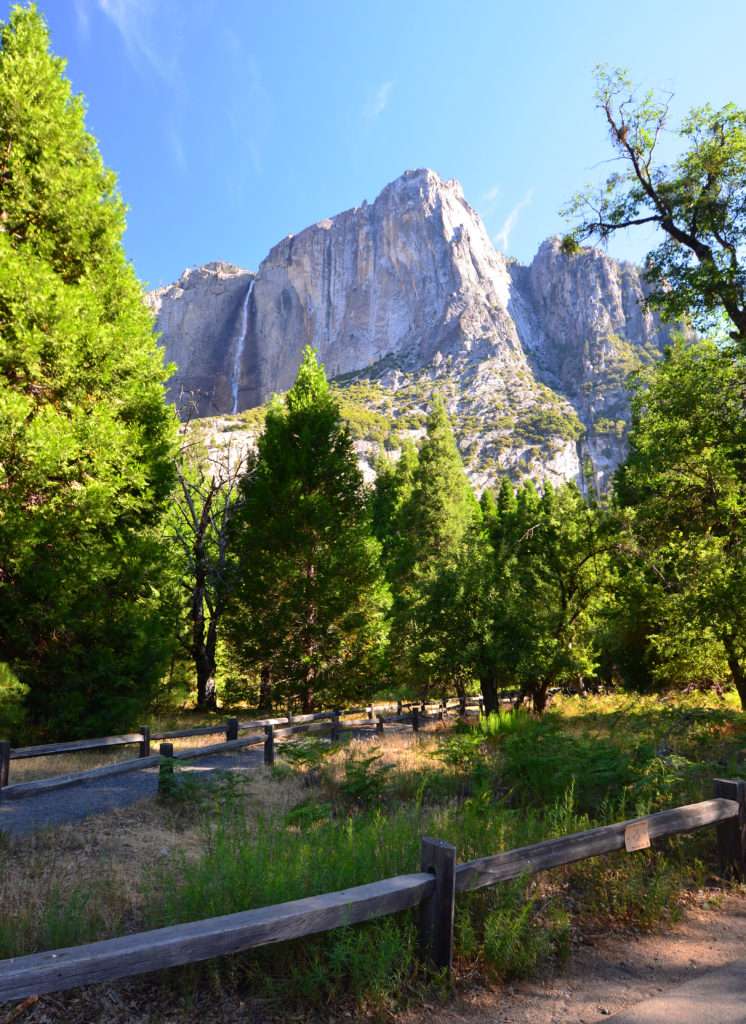
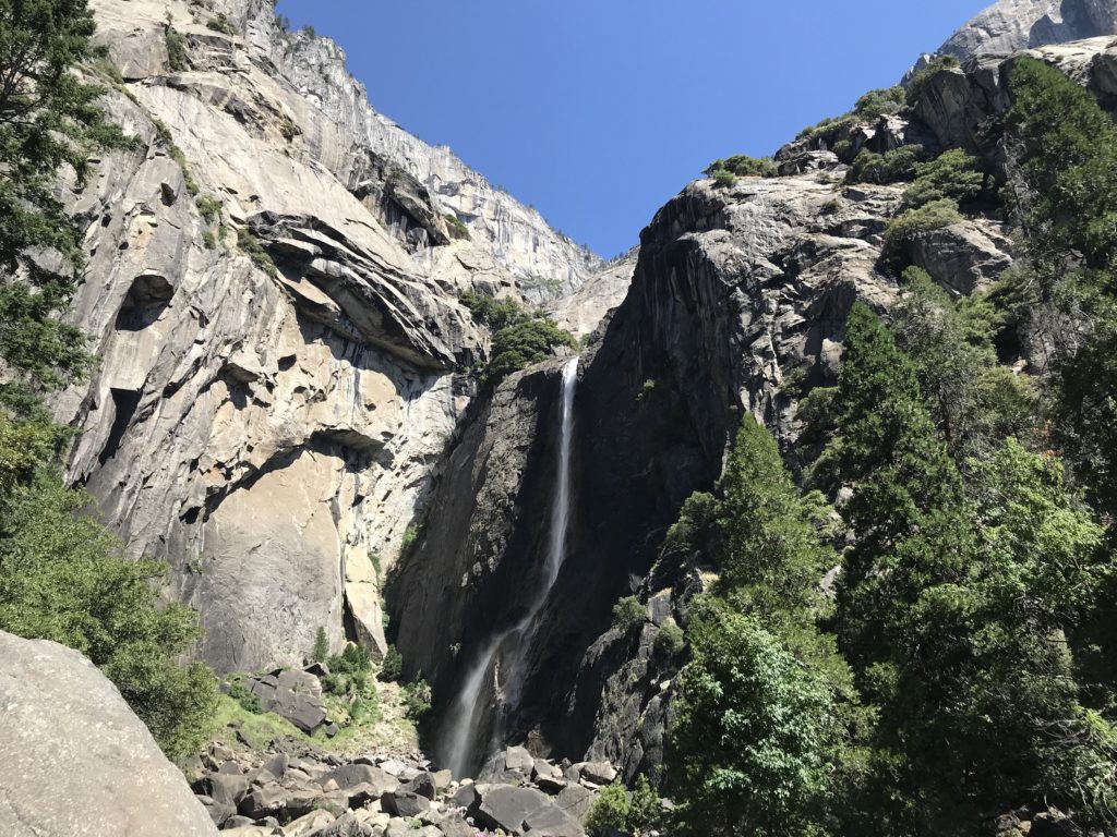
Right outside our hotel, Yosemite Falls cascaded down the sheer granite cliffs to its rocky basin. At 2,400 feet, it is the largest waterfall in North America and consists of three sections: Upper Falls, the middle cascades and Lower Falls.


We hiked the 1-mile Lower Yosemite Falls loop. From afar, we could see Yosemite Falls in its entirety. However, once we got closer to the base of Lower Yosemite Falls, we could no longer see the Upper Falls. As we watched snow-melted water plummet 300 feet to the boulders, it was hard to image that the same water already traveled over 1,200 feet – four times the drop we watched – from Yosemite Creek. (more…)
We finally made it to Yosemite and entered on the eastern side of the park near Tuolumne (pronounced “to-all-lum-ee”) Meadows. Most visitors never tour this side of the park as the Tioga Pass is only open during the summer and early fall.
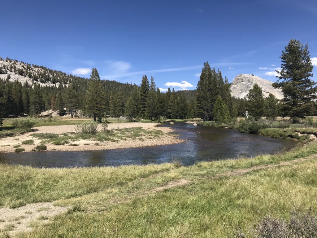
Located in the High Sierra at 8,600 feet, Tuolumne Meadows feels quite different from the rest of the park. It is exactly what it says – a lush, green sub-alpine meadow with the Tuolumne River running through it.


Several hikes start from the Tuolumne Meadows Visitor Center. We chose the easier 2-mile Soda Springs hike instead of the Lembert Dome hike.


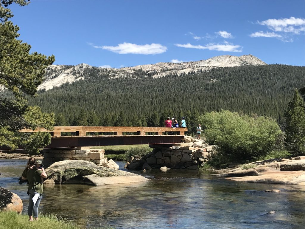
After crossing the river, a miniature log cabin stood alone in the distance. Homesteader Jean Baptiste Lembert enclosed the Soda Springs in 1889 to protect them from grazing sheep and livestock. (more…)