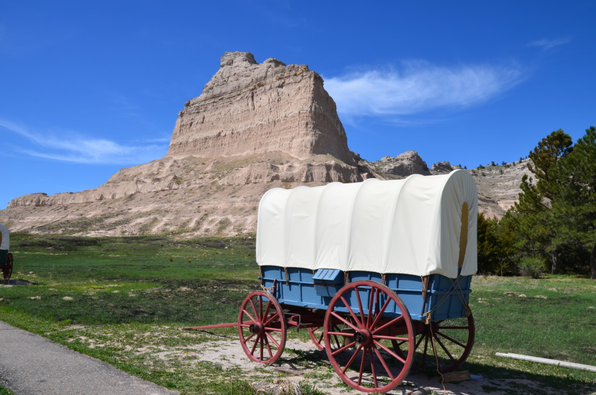
You might think Nebraska is completely flat and full of cornfields like the fictional town Gatlin, Nebraska from Steven King’s movie “Children of the Corn.” Well, think again. Western Nebraska boasts trees, rolling hills, and at Scotts Bluff National Monument – an 800-foot-high bluff.
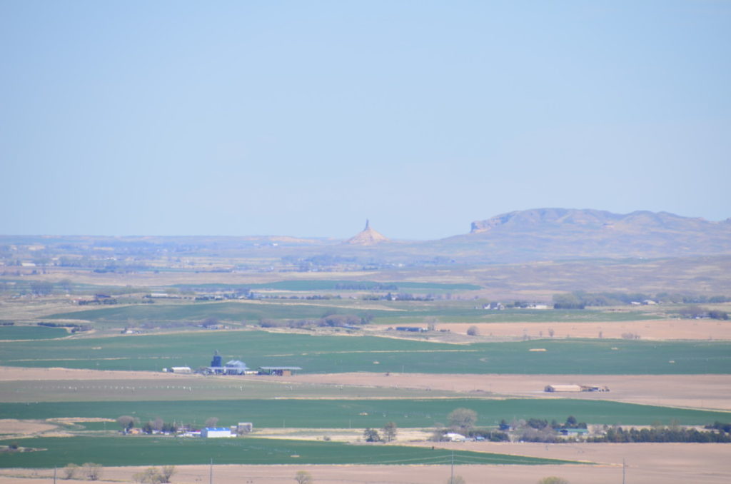
Consisting of five major rocks: Dome, Crown, Sentinel, Eagle, and Saddle, Scotts Bluff encompasses 3,000 acres. It was named after Hiram Scott, a fur trapper who died of disease on the mountain around 1828. Although not Nebraska’s tallest peak, the summit provides excellent views of the prairie and the small town of Gering. On clear days, you can see all the way to Chimney Rock National Historic Site, another landmark for the pioneers.
Scotts Bluff Summit Road
Since the road to the summit closes at 4 pm daily (5:30 pm during the summer), you’ll want to drive the 1.6 miles for the best views of the park before spending time at the visitor center, which closes 30 minutes later.
As the narrow and windy road climbs 500, feet, you’ll drive through three small tunnels – the only car tunnels in Nebraska. Also, you’ll be able to say you’ve been on the oldest concrete road in the state. Congress authorized the creation of the National Monument in 1919; however, the CCC didn’t complete the summit road until 1939.
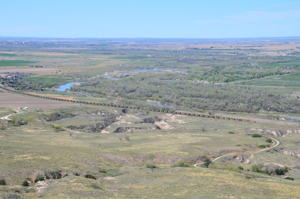
At the top, two scenic overlooks provide stunning views. The North Overlook Trail is a 0.5-mile loop around the summit. At the highest point, a marker shows how the bluff has eroded since 1933. Take in the views of the North Platte River while the trains on the railroad tracks chug below. The shorter 1/8-mile South Overlook provides views of Mitchell Pass and other bluff formations.
Saddle Rock Trail
You can take the entire 3.2-mile (up and back) Saddle Rock Trail to the summit of Scotts Bluff. Rated as strenuous, the trail climbs 432 feet. A better option is to hike the trail one-way from the summit to the visitor center.
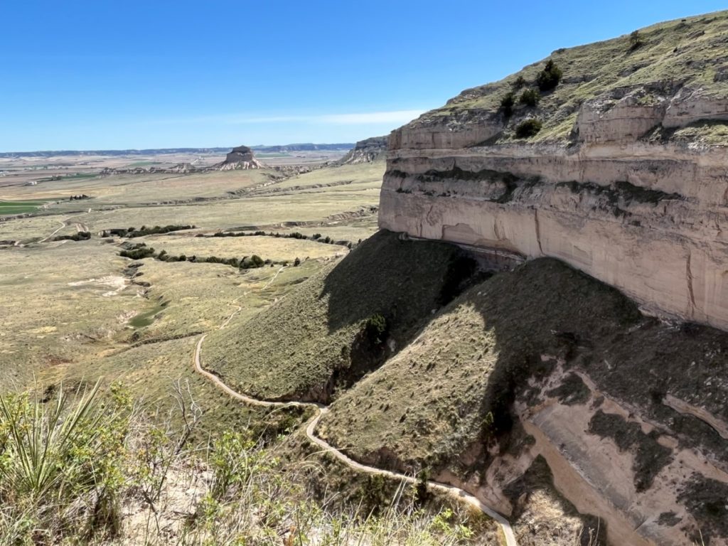
Seeing the Saddle Rock trailhead from the North Overlook loop, I knew I wanted to take this hike to experience more out of the site. I let the rest of the family drive back to the visitor center while I started the 1.6-mile hike.
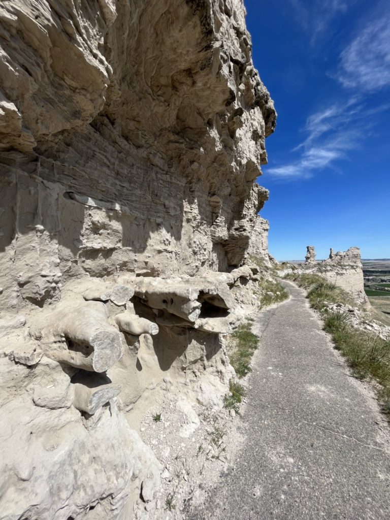
The trail hugged the bluff to one side, yet dropped significantly on the other side, causing me to get a little scared of heights. I soldiered on and passed interesting rock formations in the shape of pipes that seemed carved into the rock by human hands.
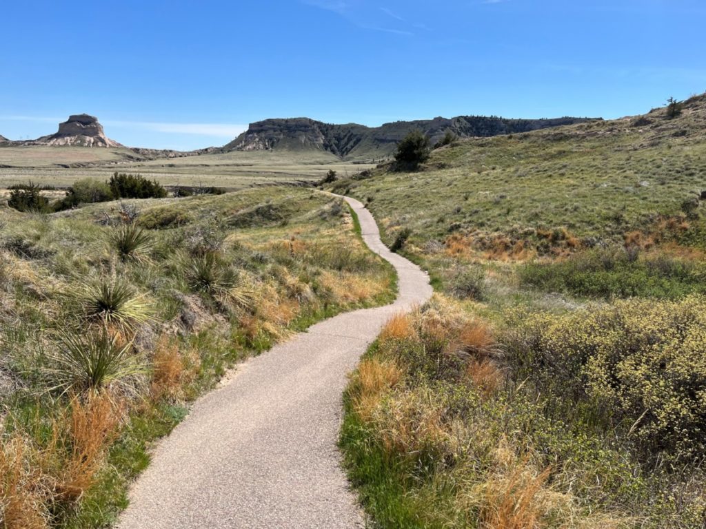
Taking me to another side of the bluff, the trail descended over several switchbacks. From here, I could look out over the prairie and at Dome Rock in the distance before walking through a small pedestrian tunnel to the other side. Near the bottom, the trail veered away from the bluff and headed past cacti and prairie grasses to the visitor center.
At the visitor center, a small museum displays photographs, paintings, and sketches from William Henry Jackson as well as artifacts from pioneers.
Mitchell Pass and the Oregon Trail
During Westward Expansion, the North Platte River Road provided the most direct route and included parts of the Oregon, California, and Mormon Trails. While not only serving as a landmark for travelers, Scotts Bluff provided a wagon road through Devil’s Gap beginning in 1851. Now known as Mitchell Gap, the thoroughfare transported 72,000 people in 1852 alone. Later Pony Express Riders and the Transcontinental Telegraph used this route to reach the west.
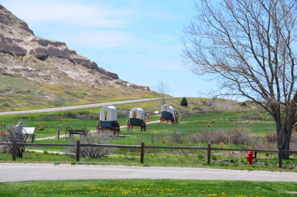
Walking the Oregon Trail Pathway at the visitor center, a cell phone tour guides visitors along the 0.5-mile (one-way) path. While easy to walk in modern-day times, the journey was far from pleasant for early travelers. Because the road through the pass was so narrow, wagons full of freight or families with all their possessions had to line up and wait to travel through the pass slowly.
For those who traveled west, Scotts Bluff signified the end of the prairie and the beginning of the Rocky Mountains to come. Yet one out of every ten people didn’t survive what was called “the nation’s longest graveyard.” Disease, accidents, and weather played a heavy toll on travelers.
More Information
If you find yourself in western Nebraska, you should make a stop at Scotts Bluff. Before the pandemic, the park service offered shuttle rides to the summit. However, they have been suspended until further notice. Currently, there are no fees to enter Scotts Bluff.
While there is no lodging or restaurants on the site, the town of Gering is a few miles away. For more information, click the Scotts Bluff website here.
