While not on our original itinerary, we managed to spend two nights on Cape Breton Island. A week before our vacation, out-of-control wildfires burned near Halifax. As residents evacuated into hotels, we canceled the Halifax portion of the trip and set our sights on Cape Breton Island.
Separated from Nova Scotia by the Strait of Canso, the peninsula boasts the 185-mile Cabot Trail with awe-inspiring coastline views of the Atlantic Ocean. Plus, the Cape Breton Highlands National Park offers hiking trails and waterfalls!
Cape Breton Island and the Cabot Trail
I didn’t know anything about Cape Breton but it does have an interesting history. Discovered in 1497 by explorer John Cabot, the island became part of New France throughout the 17th and 18th centuries. Great Britain gained control of Cape Breton Island around 1763 and many loyalists fleeing the colonies, Scottish, and Irish settled on the land. Even though the government combined the colony into Nova Scotia in 1840, the land remained remote and often inaccessible.
The Canadian government began to connect the remote fishing villages by road in 1926. This ultimately became the world-renowned Cabot Trail. A decade later, Cape Breton Highlands National Park opened on the northern part of the island with over two dozen hiking trails and 235,000 acres of protected land. However, it wasn’t until 1955 that the Canso Causeway linked the island to Nova Scotia.
Baddeck
We started and ended the Cabot Trail in Baddeck, making the loop in one day. Many do it in two days – staying in Baddeck or Ingonish on the eastern side one night and spending the next night in Cheticamp on the western side.
With a population of just under 1,000 people, the village gained prominence when Alexander Graham Bell built a summer home here in 1886. While Bell family descendants still occupy the house, visitors can tour the Alexander Graham Bell National Historic Site nearby. The museum features more than 8,000 family artifacts, gardens, and an observation deck to view the homestead called Beinn Bhreagh.
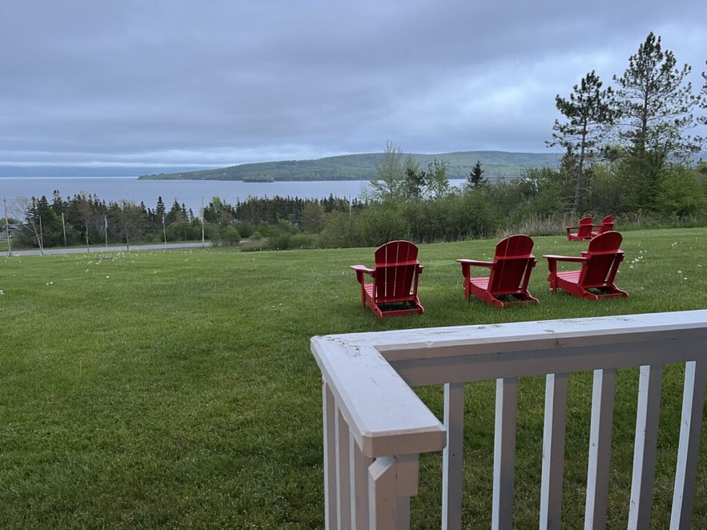
Baddeck sits on the Brass d’Or Lake. Connected to the Atlantic Ocean, the salt-water estuary encompasses 420 square miles in the middle of the island. In 2011, the lake became a UNESCO Biosphere Reserve and serves as a popular spot for boating activities.
After settling into our hotel on the lake, we walked to the waterfront area and ate dinner at the Freight Shed. We liked it so much, we returned to the same restaurant the following evening. The next morning, we stopped at a coffee shop in the village for scones and began our drive on the Cabot Trail to Ingonish.
On the way, we stopped at the Wreck Cove General Store – a well-known stop since the 1970s for restrooms, snacks, and souvenirs. We then drove near Cape Smokey. Since the early morning clouds covered most of the views we didn’t stop. On clear days, a popular activity is to take the gondola to the peak for views of Ingonish and the surrounding area.
Ingonish
Ingonish, just 60 miles from Baddeck, serves as the gateway into Cape Breton Highlands National Park. We paid the park fee and purchased an audio guide (I think it was from Get Your Guide) to play in the car detailing highlights about the trip.
Middlehead Trail
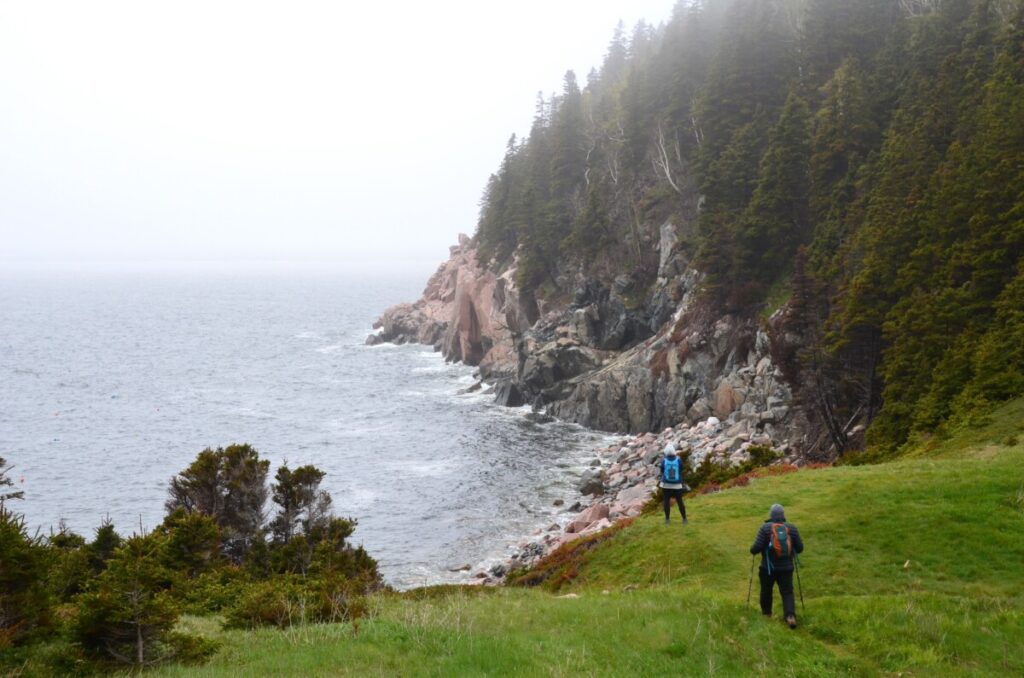
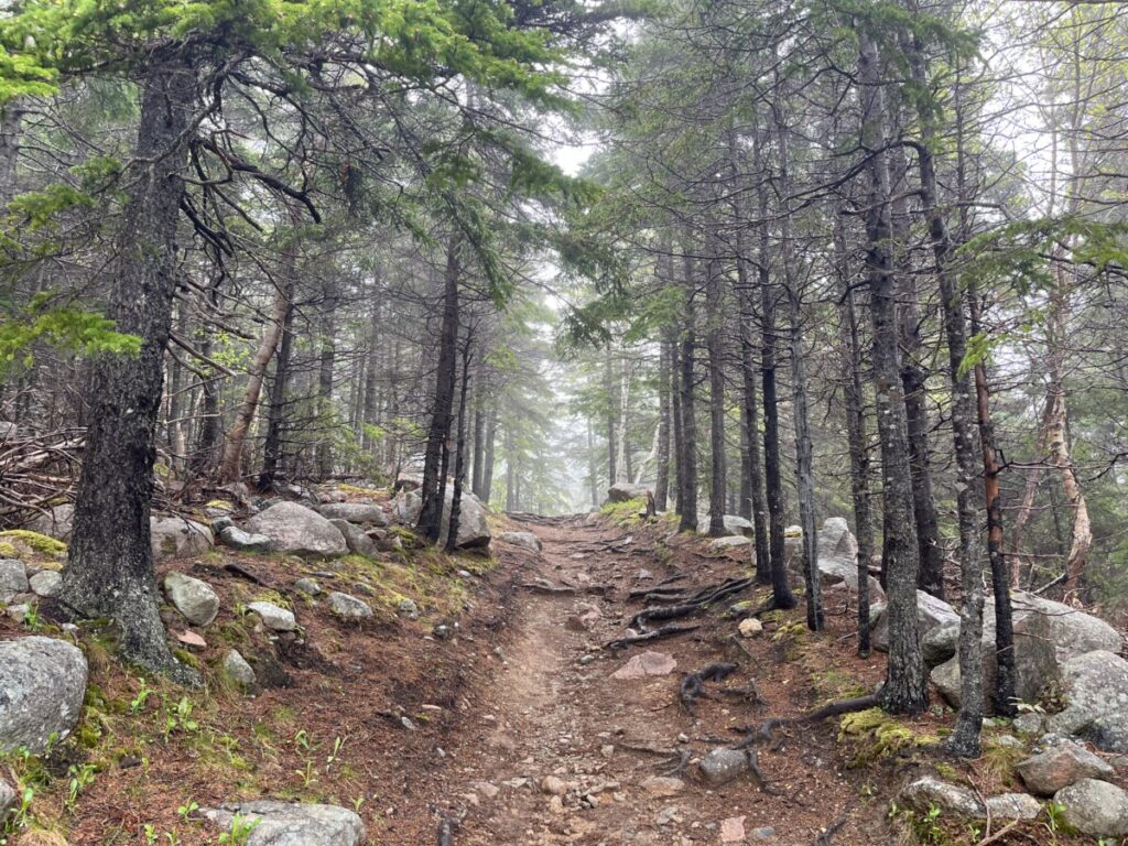
Middlehead Trail near the Keltic Lodge in Ingonish kept popping up as a “must-do” trail. As we started the 2.4-mile hike in a wooded forest, we took in the fresh smells of nature. The clouds lifted a bit, affording us better visibility, and we hoped the rain would hold off just a bit longer.
After about ten minutes of walking, the woods opened up and the trail crossed a peninsula. Waves slammed into the rocks on both sides of us as we crossed the strip of green space separating two ocean bays. It really did look like most of the pictures I’d seen in the guidebooks and pamphlets.
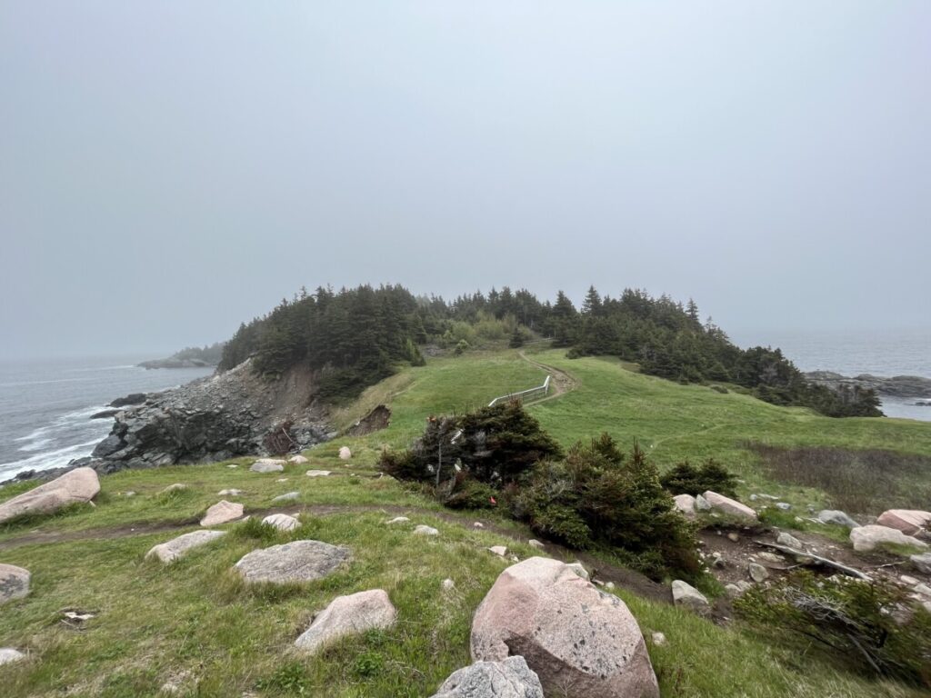
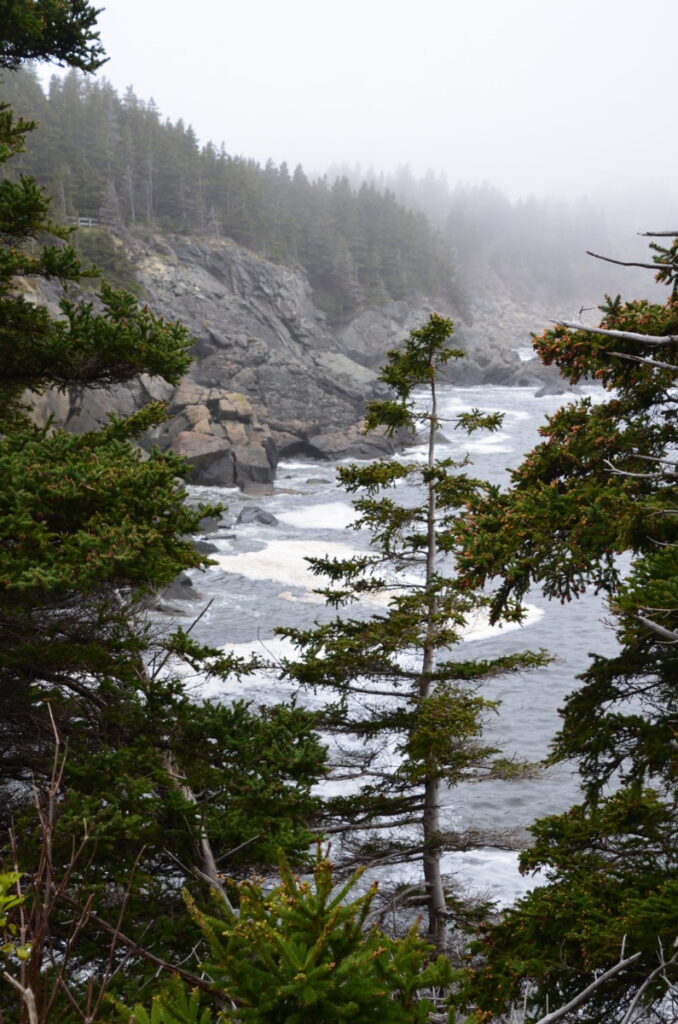
Once we crossed the peninsula, the trail formed a loop around the headlands looking out to the Atlantic Ocean. The scenery gave us different perspectives around each bend while the roar of crashing waves provided a rhythmic calm. Below, the cliffs a fishing boat caught our attention. With bright orange gear, the fishermen stood out against the gray skies.
At the end of the hike, we walked into the Keltic Lodge. A plaque on the trail explained the land originally belonged to Henry Corson, a friend of Alexander Graham Bell. After the establishment of Cape Breton Highlands National Park, Parks Canada built the lodge with an 18-hole golf course.
North Shore of Cabot Trail
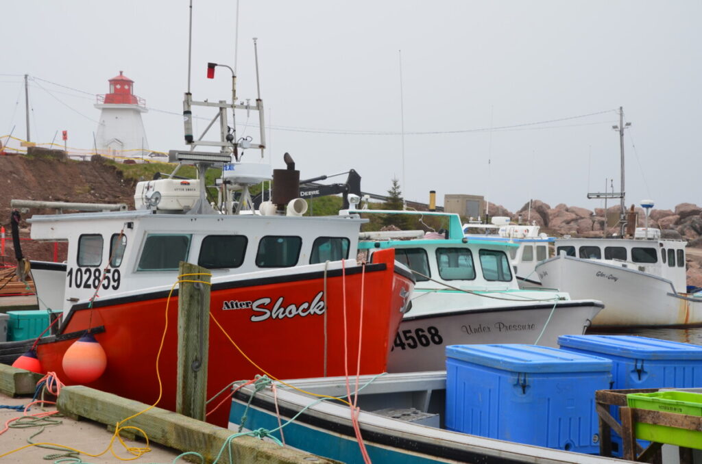
We drove through the small fishing villages of Neil’s and Dingwall near the top of the island. These places are tiny with populations of 300 and 600, respectively. Popular activities include Zodiak tours and the 4-mile, difficult-rated trail to the top of Franey Mountain.
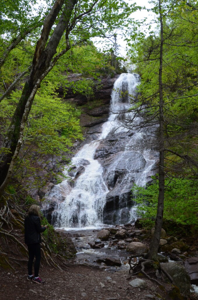
Heading west, we drove through the Aspy Region, named after the Aspy Fault that runs through the park. Near the Aspy Trail, we visited Beaulach Ban Falls. The 68-foot waterfall lies just five minutes from the parking area. The Gaelic name “Beaulach Ban” translates to White Gorge.
To go to the actual tip of the island, visitors must get off of the Cabot Trail near Dingwell and take a smaller road to Meat Cove. The one-way drive takes about 40 minutes with five miles of unpaved roads. We opted to skip this section and head to more populated spots to find a late lunch.
Pleasant Bay
By now the clouds burned off a bit and we saw the sunshine for the first time in four days. At Pleasant Bay, we reached water again – this time the Gulf of St. Lawrence. Since we were about halfway through our Cabot Trail journey, we stopped for lunch at the Rusty Anchor.
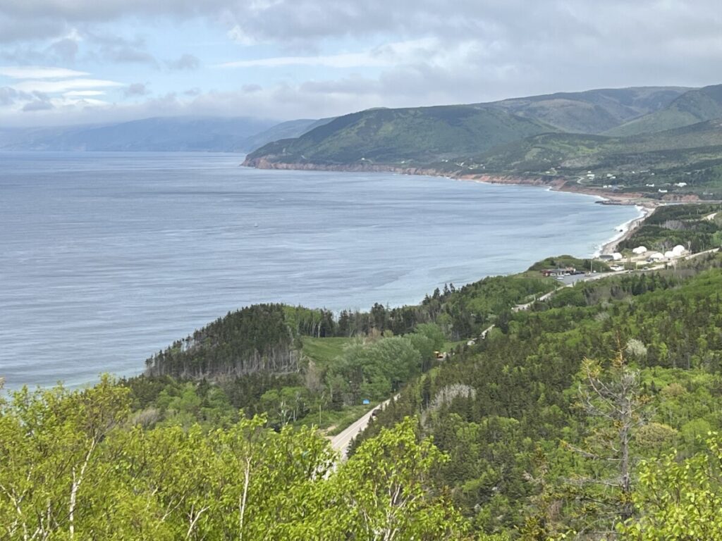
With large windows overlooking cliffs and the water, the restaurant was a welcome sight to us. Note – prepare ahead by ordering a picnic lunch in Baddeck, Wreck Cove, or Ingonish if you don’t want to wait so long to eat. The western side of Cape Breton Island boasts lots of whale tours and visitors can tour the Whale Interpretive Center in Pleasant Bay.
Skyline Trail
Soon we came to our next hike of the day – the Skyline Trail. To be honest, the trail started out flat and boring. After walking through a moose exclosure area (yes – moose are eating too many trees in the forest), I remember thinking to myself that the end of this trail better provide something amazing. Guess what?
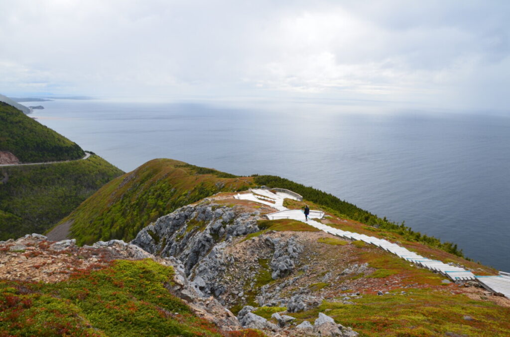
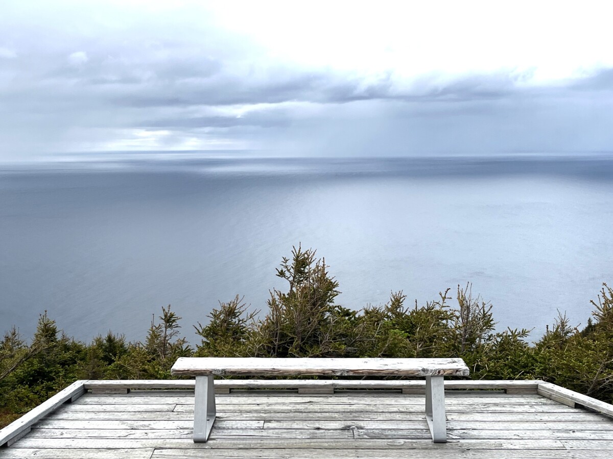
The view at the end totally made the hike worth it! No wonder this is the most popular trail in the park. The trail ends on a huge cliff with a series of cascading decks made more exciting by fierce winds blowing around us. At the last deck, the sky opened up and rain began. Fortunately, we brought small raincoats and donned them quickly. The rain only lasted about five minutes and soon, the sun reappeared. In the distance, we saw cars driving along the Cabot Trail.
Cheticamp
We stopped in Cheticamp, the western gateway village of the Cape Breton Highlands National Park. With a population of 3,000, Cheticamp felt more like a city when comparing it to the remote fishing villages we’d traveled through that day. The challenging 5.2-mile Acadian Trail climbs over 1,200 feet to offer a bird’s eye view of Cheticamp, the coastline, and the park.
While we didn’t hike the Acadian Trail, we did stop for coffee. From there, we followed the Margaree Valley back to Baddeck just in time for dinner at the same restaurant as the previous evening.
Conclusion
Cape Breton Island features jaw-dropping views, great hikes, and plenty of things to do for several days. We took this trip at rocket speed, traversing the Cabot Trail in one day. Our itinerary scratches the surface – and just barely at that.
If we had more time, I’d like to have toured the Alexander Graham Bell Historic Site and taken a whale-watching tour. I also wish we could have spent a night in Cheticamp, toured the Margee Valley, and gone boating on Brass d’Or Lake.
For more information, check out the Cabot Trail website here and Cape Breton Highlands National Park website here.
