Six years after our initial trip, we revisited Joshua Tree National Park again. This time, we focused on the southern entrance, which is closer to Palm Springs and Palm Desert.
Joshua Tree National Park, with a total area of almost 800,000 acres, is about 140 miles east of Los Angeles. It spans parts of the Colorado Desert (eastern side) and the Mojave Desert (western side); two very different ecosystems. When visiting a national park, we always download the Just Ahead audio guides to learn more details as we drive around.
From Palm Desert, we entered Joshua Tree at the South Entrance. Lying in the Colorado Desert, this part of the park looked different than where we visited previously. Because water and bathroom facilities are few and far between, we stopped at the Cottonwood Visitor Center and picked up a map to get a feel for the park’s layout.
Mastodon Peak Trail – Colorado Desert Section
We chose to hike the 2.6-mile Mastodon Peak Trail since it’s close to the Cottonwood Visitor Center. Although the Mastodon Peak Trail is a 2.6-mile loop, we backtracked after Mastodon Peak, resulting in only a 2-mile hike for us. The signage is a bit confusing, so I recommend reading The Hiking Guy: Mastodon Peak Trail first. The Hiking Guy details exactly which trails and turns to take so you can avoid any confusion.
Just a short walk from the parking area, a group of thick, California fan palms stood in the distance. While drought-resistant, these palm trees typically grow near springs. Earthquake activity occurred years ago and created underground springs. Native American Indians used the Cottonwood Springs Oasis for many years.
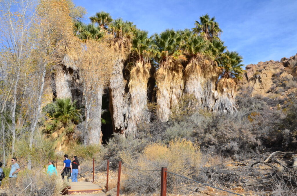
From here, the landscape became more barren and dry. Soon, we came to the intersection of the Lost Palms trail. Since that’s a strenuous 7.2-mile hike we didn’t want to take, we continued on our path to Mastodon Peak.
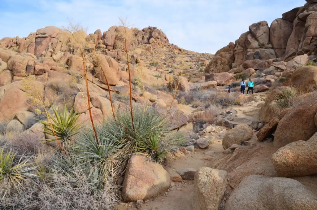
The sandy trails gave way to stone steps as we ascended the cliffs. We hiked around an interesting rock canyon that was my favorite part of the trail. Even one large boulder appeared to be split into two pieces.
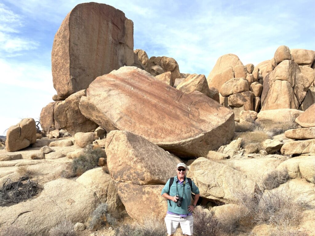
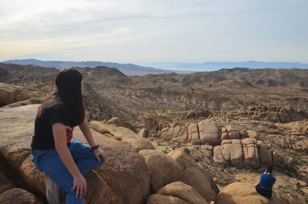
At the base of the peak, we took a side trail to reach the top. It’s about 1/10th of a mile and a lot of rock scrambling. This section of the trail wasn’t marked well, so we looked for the easiest spots to ascend. I felt a little unsure of my footing more than a few times and almost gave up. However, it was worth it when we took in the panoramic views of the Colorado Desert a the top.
Descending the rocks the way we came, we approached the loop trail. For whatever reason, the sign to the west said Cottonwood Springs Campground. We didn’t realize this was also the correct path to continue the loop. Since we didn’t want to do needless hiking, we returned the way we came instead. It turns out we missed the Mastodon Mine, owned by George Hulsey until 1971.
Cholla Cactus at Joshua Tree
We noticed a change in terrain and an increase in elevation as we drove on the main road north through the park. According to the Just Ahead app, we were approaching the Pinto Basin, where the Mojave and Colorado Deserts meet.
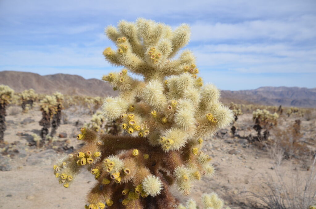
We approached the Cholla Cactus Garden about 20 miles north of the Cottonwood Visitor Center. Although the area was closed due to trail repairs, another grouping of the fuzzy-looking cacti was situated on the other side of the road. We wandered through the area, seeing some cacti growing 8 feet tall. Although the cacti looked innocent with brilliant yellow blooms, those spikes were sharp!
Split Rock
We continued into the Mojave Desert, passing the turnoffs for Heart Rock and Arch Rock. Turning west onto Park Blvd, the major thoroughfare of the park, we headed straight to Split Rock for a 2-mile hike. Unfortunately, the parking area was more than full and we couldn’t get a parking spot. However, we did drive past the split rock, which true to its name, exhibits a huge crack or split in the middle.
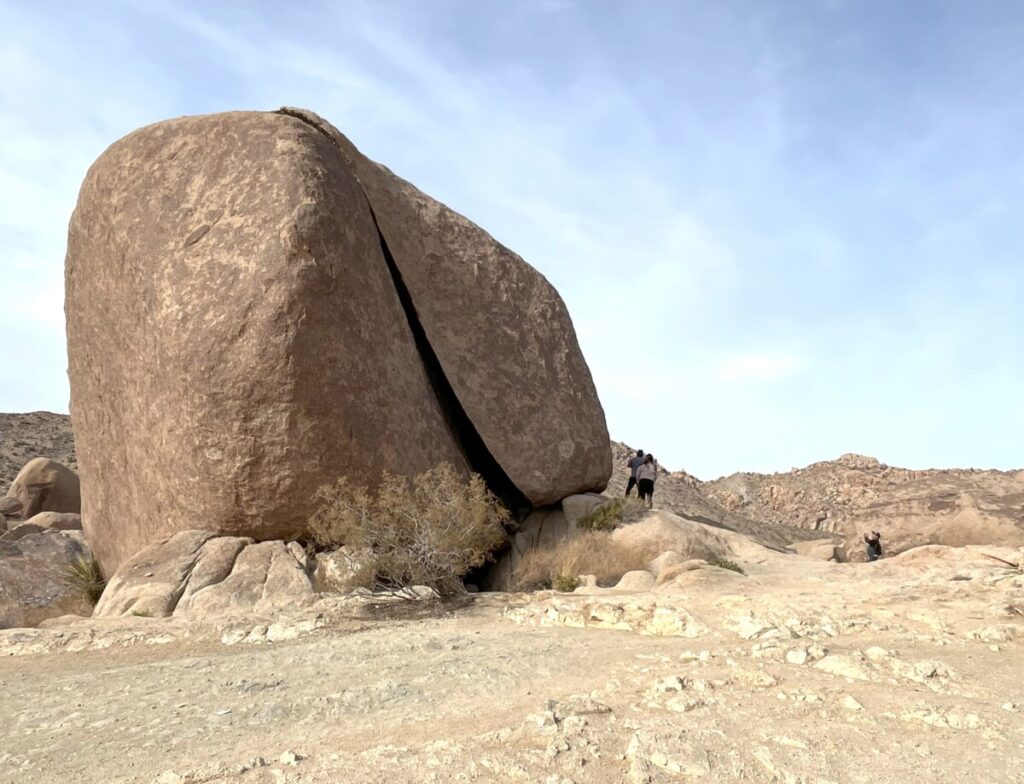
One thing to note is the desert gets hot. During the summer months, the park service recommends embarking on hikes less than 2 miles in length and finishing those hikes by 11 am. For that reason, Joshua Tree’s high season runs from October through May when temps are not as dangerous. It’s no wonder that the park was crowded on the weekend after Christmas. We drove on and headed to our next stop.
Skull Rock
After seeing the crowds, we didn’t expect to stop at Skull Rock since that’s also a popular place. But a spot opened up right as we approached.
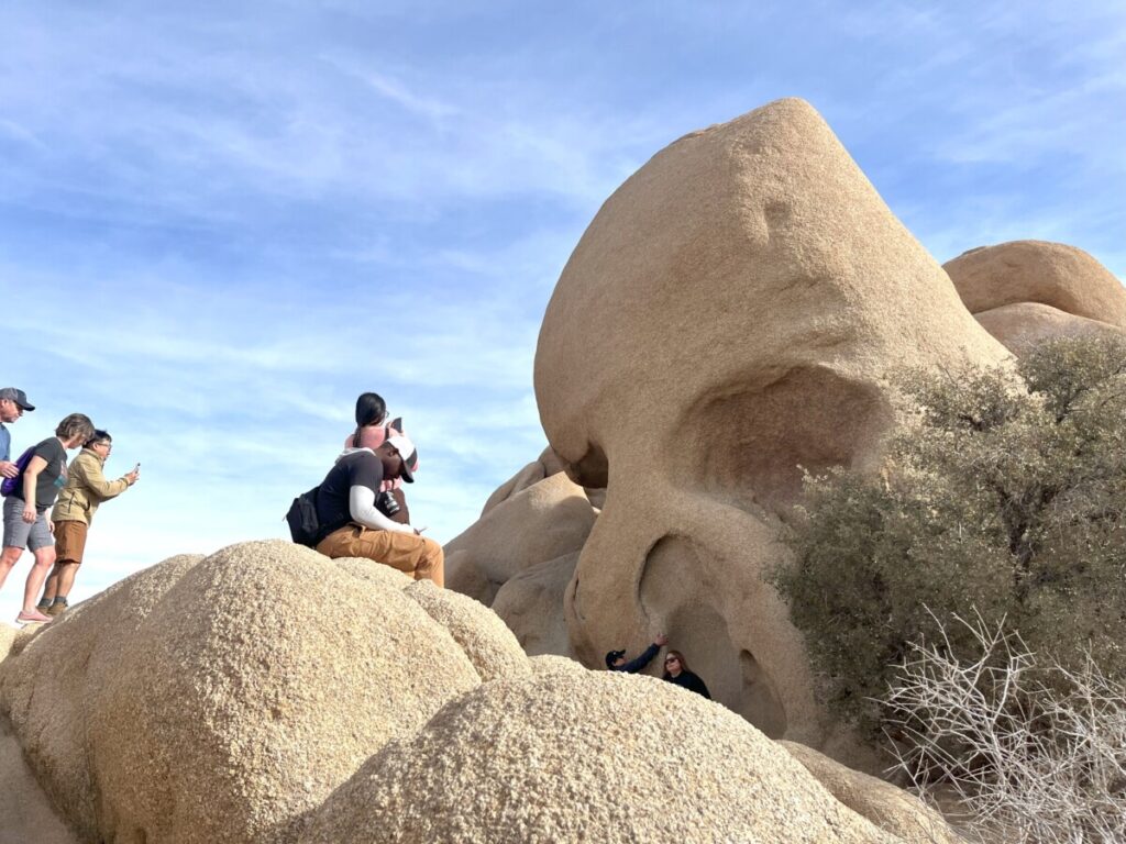
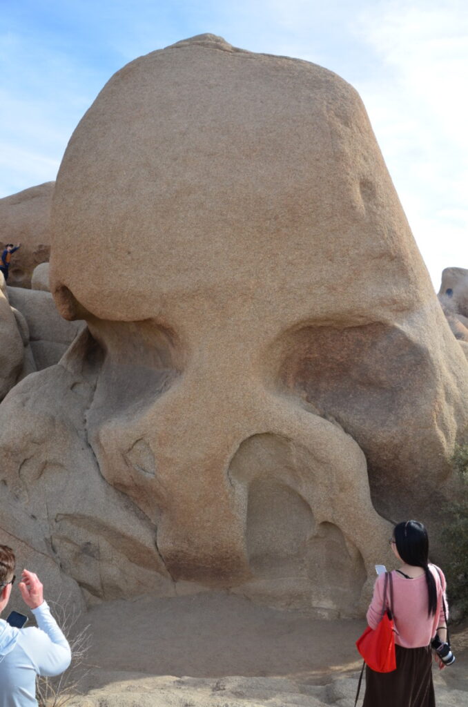
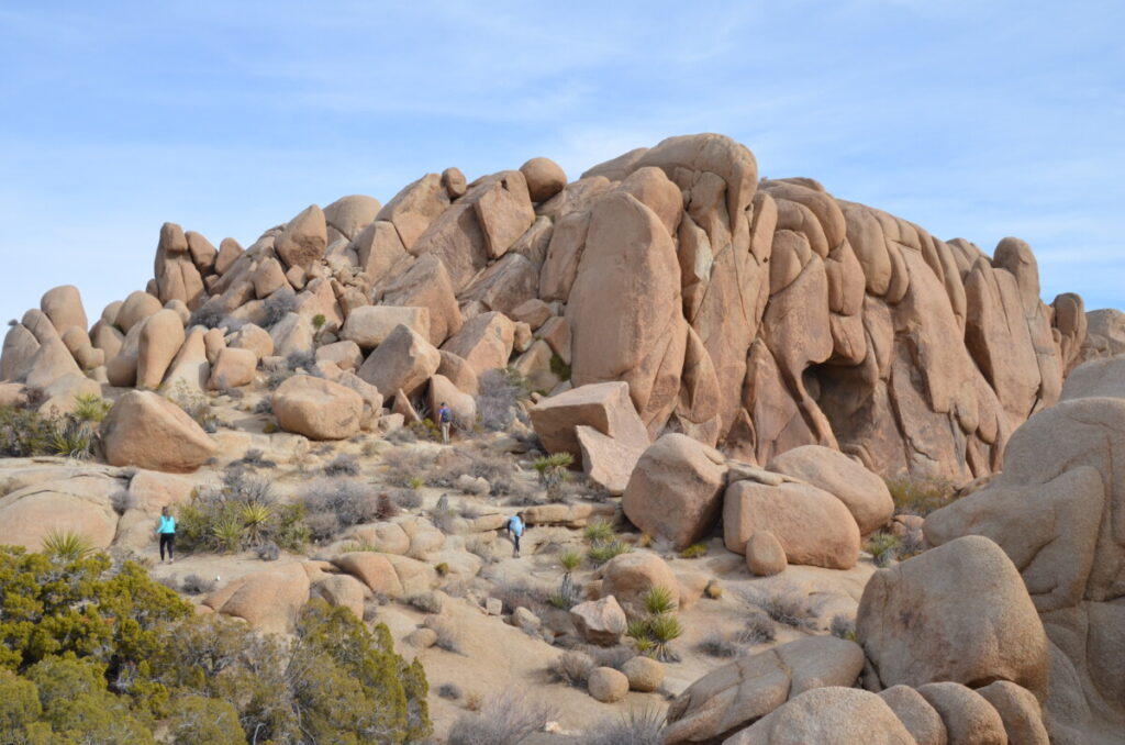
True to its name, the rock resembles the face of a large skull. Plus, visitors can climb on the rocks for Instagrammable pics. Before departing the area, we wandered to the Jumbo Rocks area.
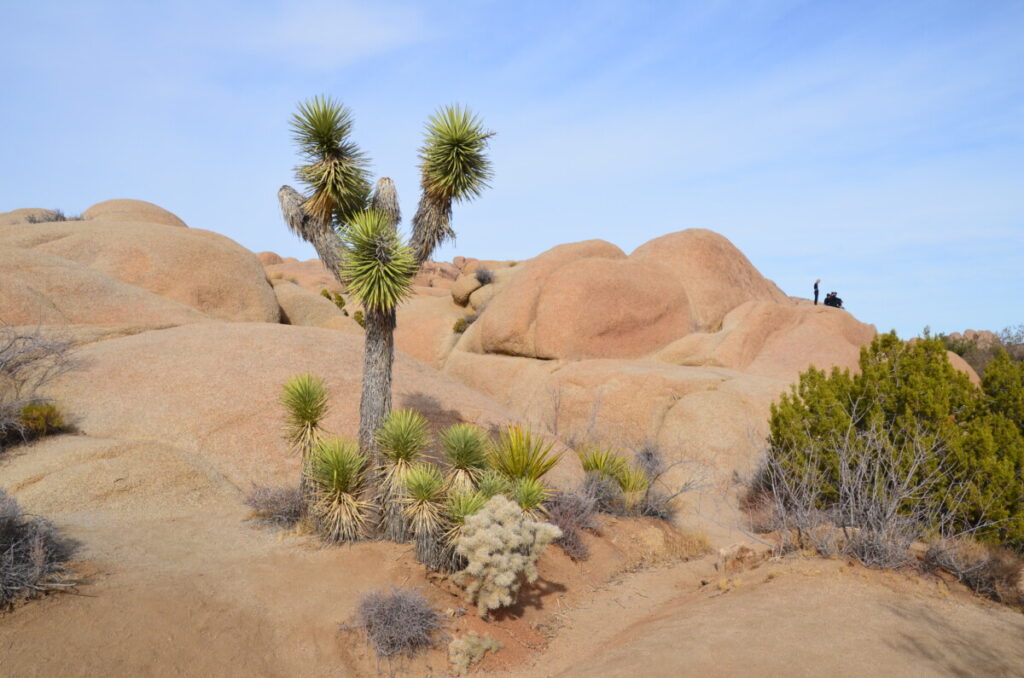
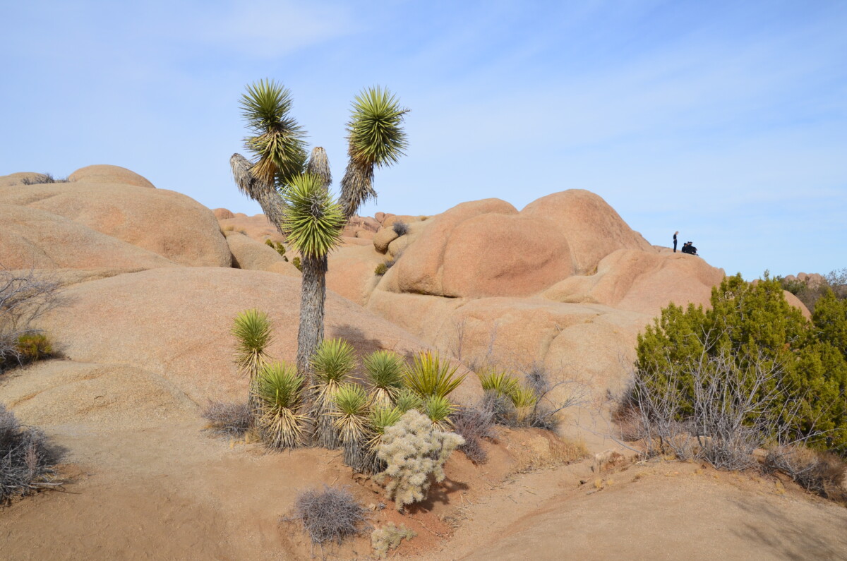
So what about the Joshua trees? According to legend (but not fact), the Mormons named them Joshua trees because these yuccas with far-reaching limbs resembled Joshua with outstretched arms in prayer. Believe it or not, these trees belong to the asparagus family and can live for over 150 years.
We left the park via the North Entrance at Twenty-nine Palms since we had other plans with our family during the latter part of the day. DH (Dear Hubbie) and Thing 1, who had not visited the park before, were impressed and felt they had a good overview of the park.
Joshua Tree NP Conclusion
If you find yourself anywhere near the area, Joshua Tree NP is worth a visit. Just check the weather beforehand and plan accordingly. Shade is virtually non-existent, so you’ll want to wear a hat and sunscreen. Bring lots of water with you and pack snacks since there are no restaurants inside the park. Also, there is no cell service, so make sure you have a map with you or download the Just Ahead app audio guide.
According to the NPS website, the busiest entrance is the West Entrance. This is the entrance we used on our previous trip. We had no problem entering the South Entrance and exiting the North entrance on this trip, which was during the busy season.
For more information about Joshua Tree, click the National Park Service website here.
Pingback: Palm Desert Cross Trail - Palm Desert, CA • Finding Family Adventures