To celebrate the 4th of July, we wanted to be outdoors during the pandemic. Since it’s typically cooler in the North Georgia mountains, we chose to explore the 4.6-mile Yonah Mountain hike rich with rewarding views from the summit.
Located just northeast of Cleveland, GA, Mount Yonah graces the landscape for miles around. In fact, we’ve almost taken it for granted on our many trips to take our children to nearby Camp Evergreen. It wasn’t until I saw a friend’s post about hiking the mountain that I even knew a trail existed.
Parking and Fees
As part of the Chattahoochee-Oconee National Forest, Yonah Mountain rises 3,100 feet from its base near the Southern Appalachian Mountains. To get to the trailhead, we drove on Helen Hwy from Cleveland, turning off on Tom Bell Road to Chambers Road. About a mile later, we turned left onto a bumpy, dirt road for about 0.25-miles to the parking lot. Parking is free and pit toilets are provided.
The Trail to the Top
Much like Kennesaw Mountain, the trail begins its steady ascent almost immediately. Heavily forested, the path is laced with stumps and rocks, at times becoming too narrow to pass other hikers.
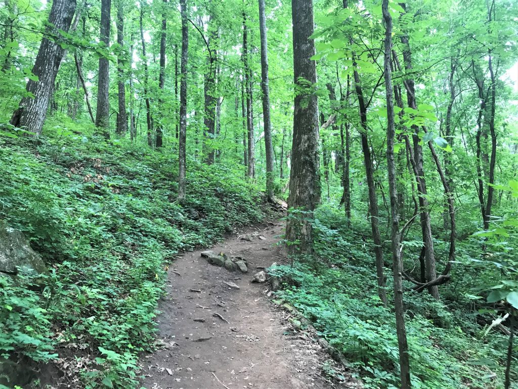
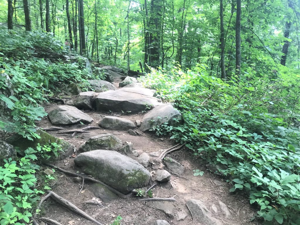
The trees and cloud cover kept the temperatures somewhat cool as we ascended and climbed several sets of stairs. A few times we had to cross over rocks to continue on the trail. All in all, the trail had a good number of hikers but never felt crowded.
About halfway to the top, the trail descended and flattened out for a while before climbing uphill again to a grassy field. A small overlook provides the first glimpse of the surrounding mountains.
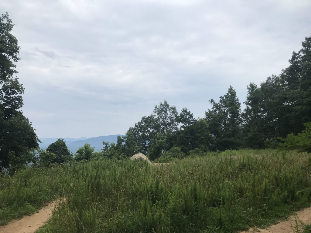
At this point, the lime green blazes on the trail disappear. Somehow, we got on a different path to a campsite. Realizing our mistake, we retraced our steps back to the clearing and picked up the correct trail.
Back on the main route, the path became more strenuous and rocky. Because of recent rains, deep ruts formed in the middle of the red clay trails. I was losing my steam until some people hiking down the mountain told us we just had 1/3 of the way to go.
The trail turned right on what looked to be a gravel roadbed. At the next clearing, we saw a concrete cinder-block structure where a sign indicated this was part of an Army Ranger training facility. From here, we could choose between two unmarked trails both leading uphill.
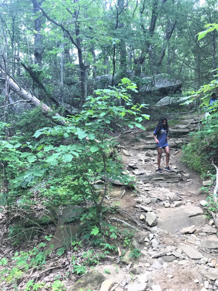
Reaching the steepest part of the trail, we soldiered on to a large outcrop of rocks. Again, several trails led from here, but fellow hikers told us all trails led to the top.
The Summit
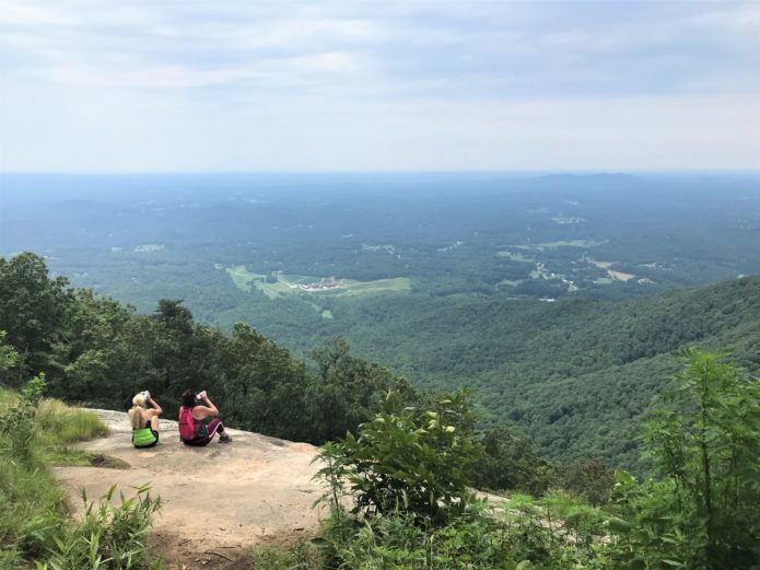
The trail turned to the right sharply and there was our view. It was every bit as rewarding as we hoped! But what made it better was that the outcrops provided large (socially distant) sitting areas.
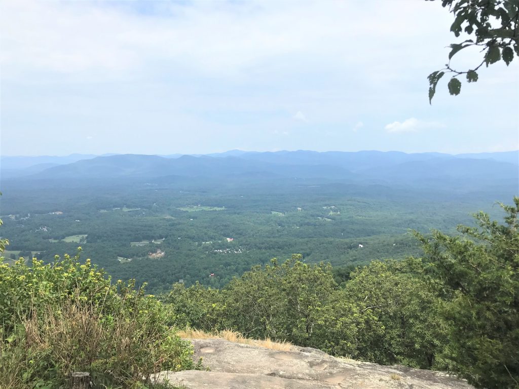
While some people sat on the boulders admiring the mountains in the distance, we continued walking a bit further to an empty spot and sat down. From here, we could see the parking lot far below (1,500 feet to be exact) and a vineyard. We could also smell the campfire from two campers who were picking berries.
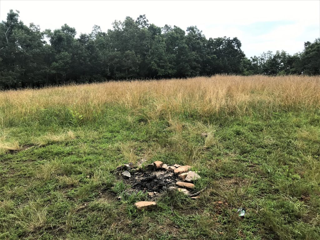
Wanting to make sure we didn’t miss anything, we kept walking to the very top. I expected a flag or some kind of marker. Instead, we found a flat grassy area dotted with abandoned bonfire sites that didn’t provide any views to speak of.
We made our way back to the boulders and rested for a while enjoying the crisp mountain air. I loved how the most distant mountains almost blended with the sky.
The Trail Down
Now it was time for the 2.3-mile trail back down the mountain. You would think that would be easy, but we got turned around and circled back around the same areas at the summit. We kept passing this one hiker who was in the same predicament as us.
Since I always say, “What goes up, must come down,” we looked for any path leading downward. One path led off the mountain and we backtracked again. Finally, we got to the large outcrop area we recognized and retraced our steps back to the parking lot. Because of our unintentional detours, we hiked a total of 6 miles instead of the 4.6 miles.
For more information about the hike, click the Chattahoochee Oconee National Forests website here.
Sautee Nacoochee
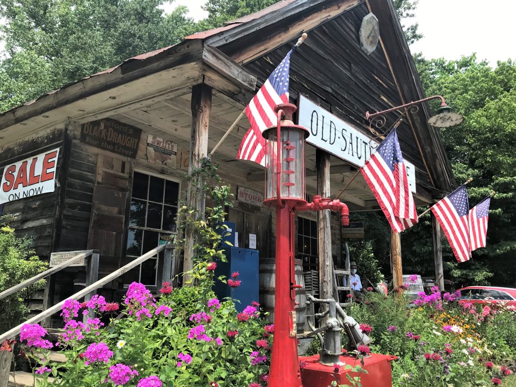
Just a few miles from the trailhead is one of my favorite spots in North Georgia – Sautee Nacoochee. This small junction includes a General Store, a deli, a lavender shop and several bed and breakfast places. We stopped for a well-deserved scoop of ice cream before heading to the Folk Pottery Museum of Northeast Georgia.
Folk Pottery Museum of Northeast Georgia
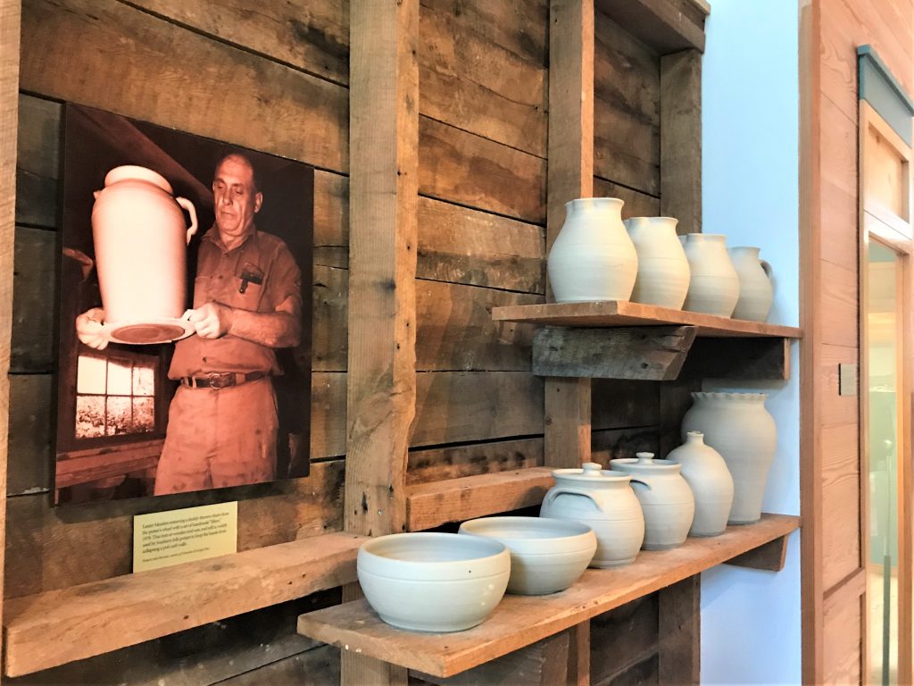
Located behind the Nacoochee Cultural Center is the Pottery Museum of Northeast Georgia. Founded in 2006, the museum highlights the pottery process with alkaline glazing used for generations of families in Northeast Georgia.
After paying a small admission price ($5 for adults and $2 for students), we watched a 10-minute DVD. Members of the Meaders family of potters explained the process of digging the clay using an auger from 1915, turning the clay using mule labor, glazing the pieces and firing the pieces in the kiln.
While watching the video, I realized I’d never thought about food storage before glass jars and cans. However, in the 1800s, the only way to store food, including staples like butter, milk, syrup, and whiskey, was in ceramic jugs and containers. North Georgia boasts several families of potters including the Meaders, the Hewells, the Fergusons and the Dorseys.
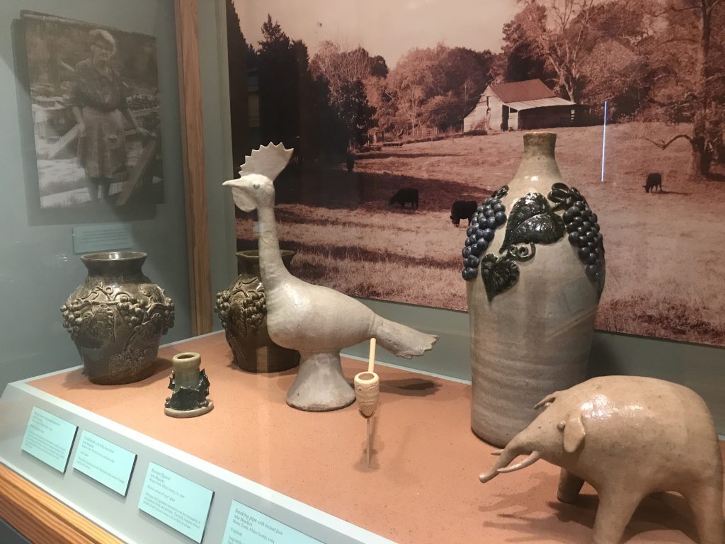
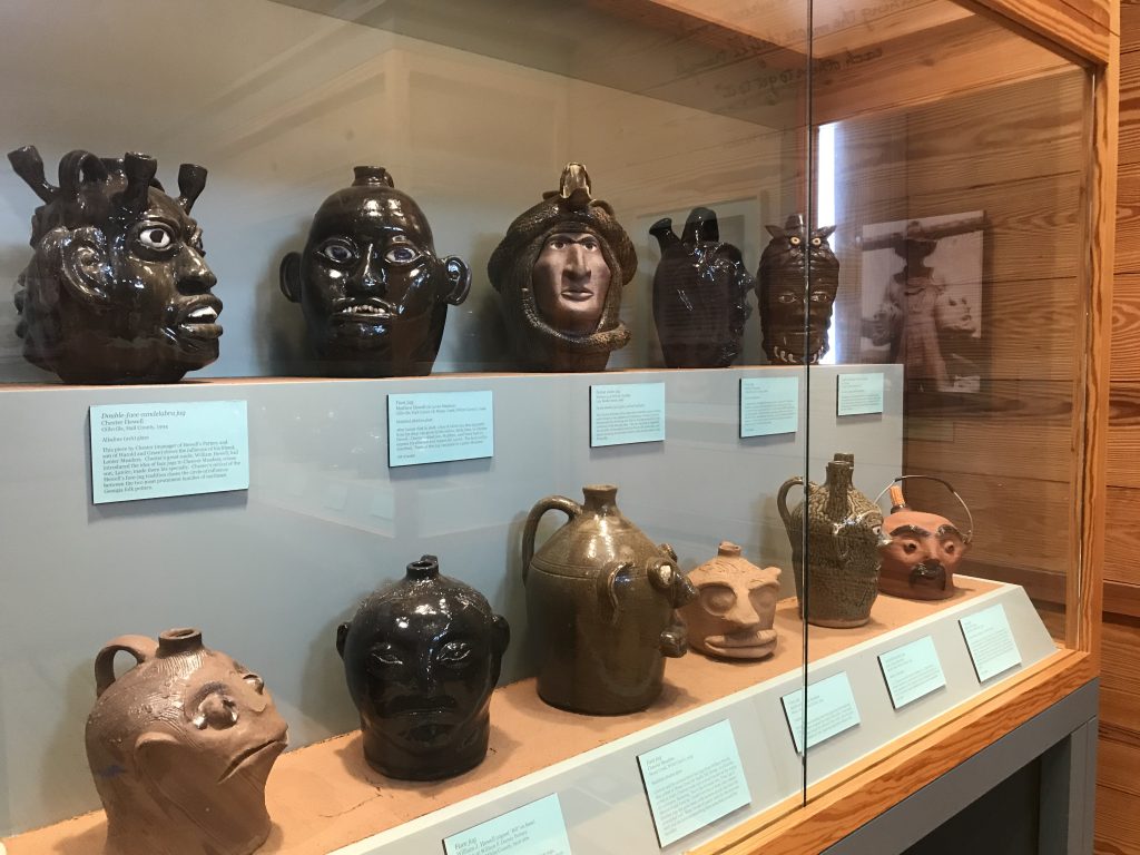
After the DVD, the museum had displays of early pottery and highlighted the history of these families. After more modern food storage came into existence, pottery became decorative instead of functional. Several rooms displayed these wares as well as face jugs.
Although small, we learned a lot from this museum and I went home to research some of the families featured. A good read includes this pdf file produced by the Smithsonian in 1967.
For more information about the museum, click their website here.
