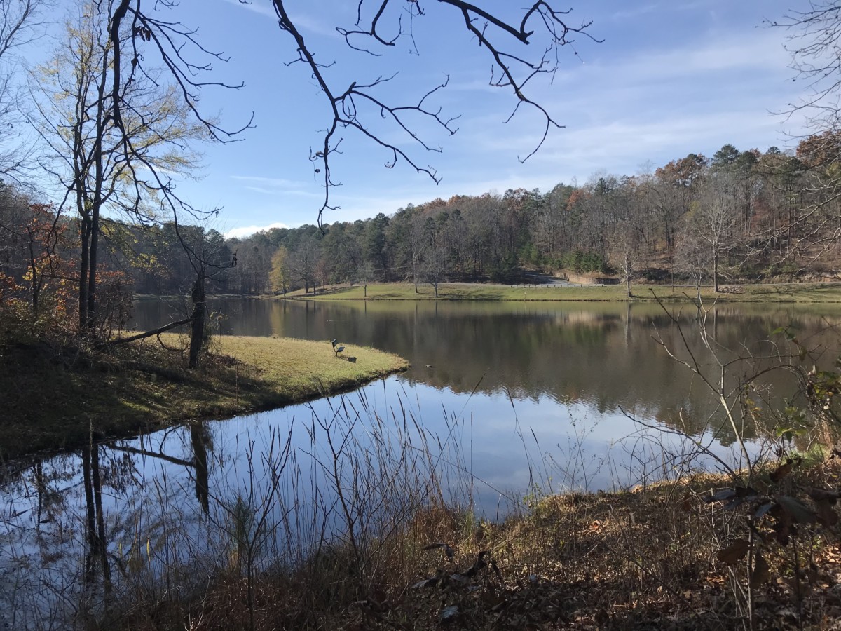
In my neck of the woods last fall, we had a hurricane, Halloween, a time change and an election – all in the space of 9 days. I desperately needed an outdoor escape. Thing 2 and I found it at James H. “Sloppy” Floyd State Park located about 90-minutes northwest of Atlanta.
Directions, Cost & Parking
From US Highway 27, we turned onto Sloppy Floyd Lake Road for 2.5 miles before entering the park. Seemingly out of nowhere, a community of rural houses and a church sprung up along the road.
Like all Georgia State Parks, admission costs $5 per vehicle. At the entrance sign, we turned left into the park and soon saw the collection box with envelopes. Unless you purchase your daily pass on the Georgia State Parks website, you’ll want to have exact change for the fees.
As the short road meandered past a picnic shelter, volunteers worked on setting up a Christmas tree. The road looped into a circle with parking spaces and a decent-sized bathroom facility.
The Trails
Although the park offers only 5 miles of hiking trails, you can get a great workout with outstanding views when the leaves have fallen.
Marble Mine Trail
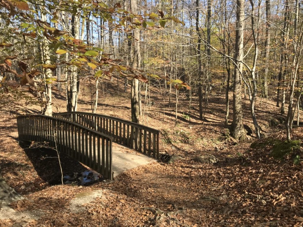
We followed the sign from the picnic day-use lot to the trail. With views of the lake, the trail slowly ascended, crossing several small streams. Soon, we turned left onto the orange-blazed Marble Mine Trail when it intersected with Upper Lake Loop. As our trail departed the lake, the path became wide and gravel.
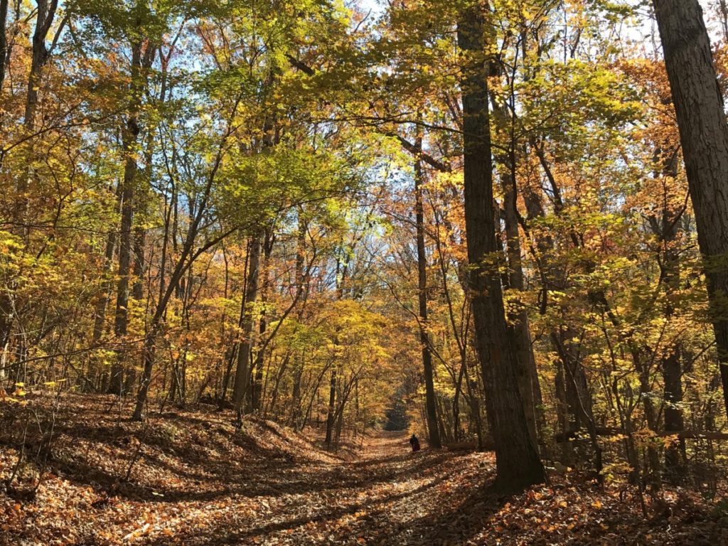
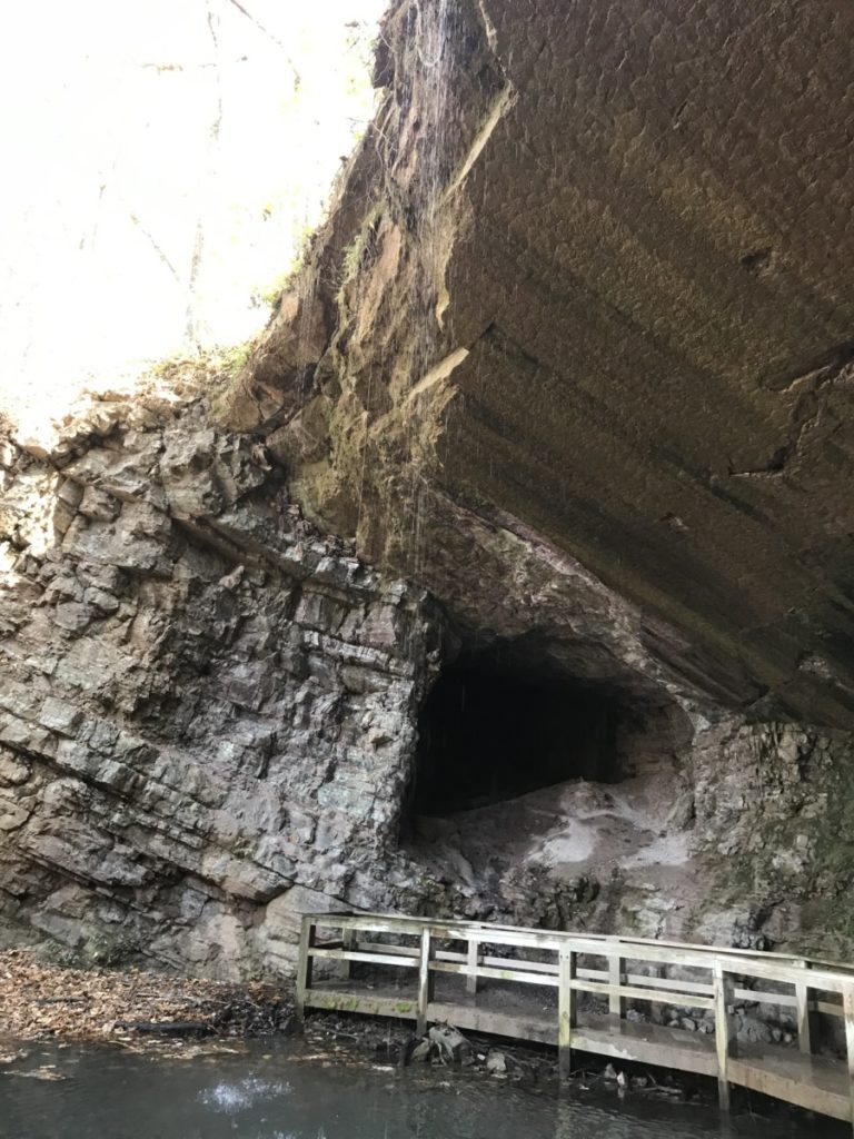
Because Hurricane Zeta blew through Georgia a few weeks before, taking most of the peak foliage with it, we didn’t expect to see much in the way of autumn colors. Surprisingly at lower elevations, yellow-green trees lined the trail. After ascending about 300 feet, a large cave-like opening appeared where groups of people congregated.
A boardwalk allowed us to walk to the entrance of the mine. Water dripped from the ledge above us into the pool of water. Looking up, I took in the sheerness of the rock above me. The falling water is more of a trickle instead of a waterfall, but that may depend on recent rainfall.
From here, we could have retraced our steps or taken the Jenkins Gap connector trail back to the parking lot for a 1.7-mile hike. We opted to continue up the ridge on the 0.7-mile Pinhoti Access Trail. This was the most strenuous part of the hike as we climbed another 600 feet in elevation to the top of Taylor’s Ridge. However, the views were spectacular as the North Georgia mountains appeared on the distant horizon.
Pinhoti Trail
Our route joined the Pinhoti trail for only 0.5-mile along the park’s southern border. However, the Pinhoti is no joking matter as it encompasses 335 miles from Alabama to the base of the Appalachian Trail. One missed turn and we could be lost for a long time.
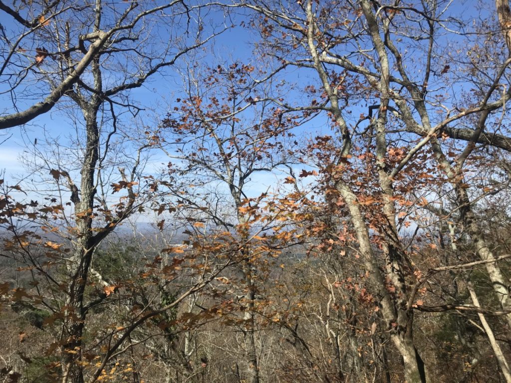
Turning onto the trail, we passed two men with hiking sticks. Fortunately, this trail section was easy with just a slight increase in elevation. As long as I saw the yellow Georgia State Park boundary signs nailed to trees on my right, I felt confident we hadn’t missed our turn back into the park.
At long last – which was probably only a few minutes, the sign appeared and we headed on the final third of our hike.
Jenkins Gap Trail
As we grew hungry, Thing 2 said, “At least this part is downhill.” There’s good and bad to that statement. The downhill was steep! Add fallen leaves to the already steep descent and the trail was downright slippery. Now I wished I had a walking stick. I later learned that we were on a 34% slope.
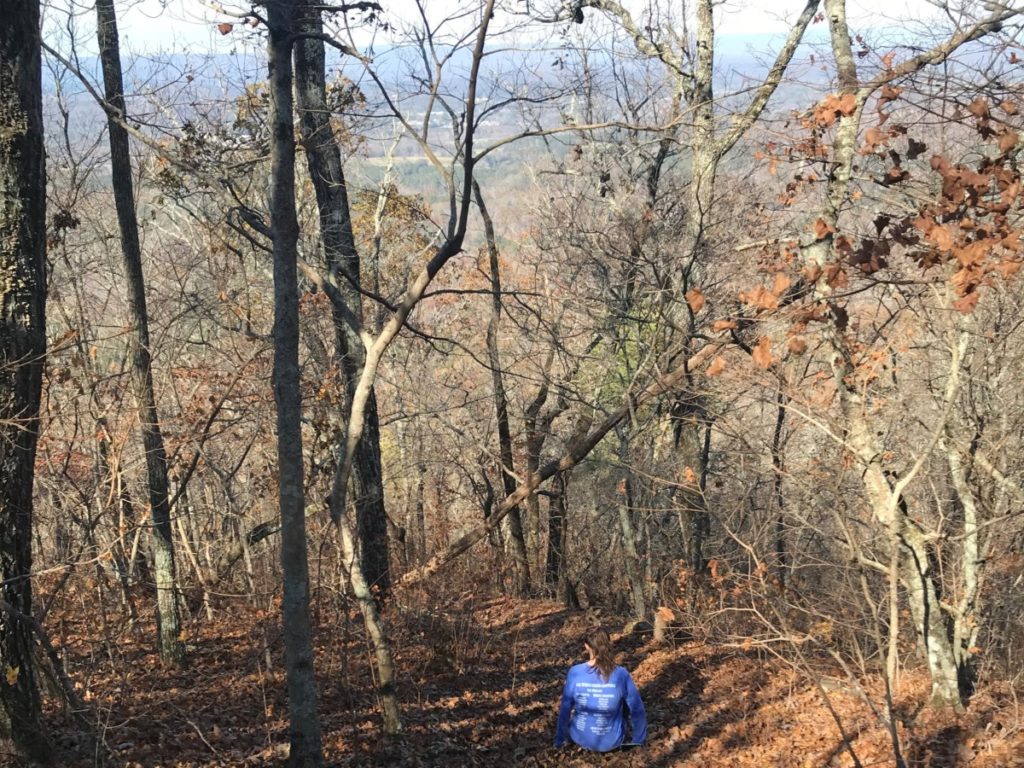
Soon the trail’s slope flattened out a bit. Not flat – just not as steep and before.
Crunch. Crunch. Crunch. We enjoyed the sounds of leaves crunching under our feet as we got closer to the bottom of the ridge. Sunlight dappled in areas that would be perfect for a hammock and I realized we hadn’t seen anyone in almost a mile.
As we continued, the path intersected with the Jenkins Gap Connector. A few people coming from the Marble Mine joined our trail and we knew we were close to the end.
Upper Lake Rim Trail
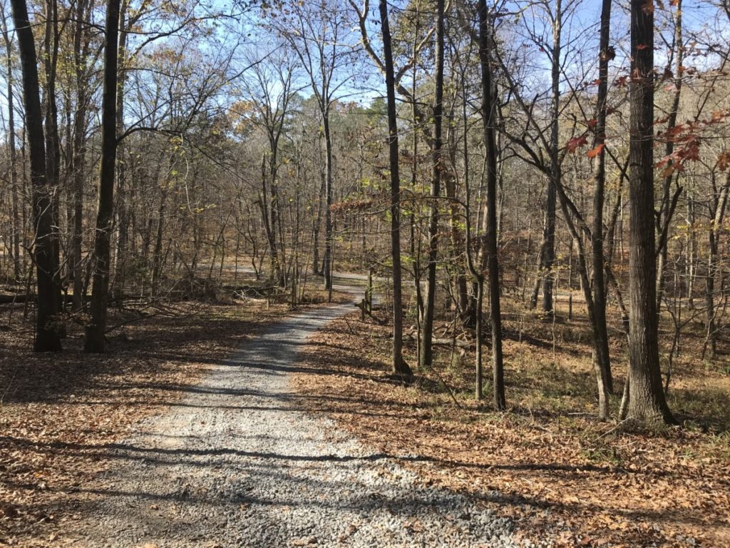
When the Jenkins Gap trail ended at a gravel parking lot for the backcountry campsite, Thing 2 and I looked at each other. How do we get to our parking lot? The park’s website only said that the Marble Mine, Pinhoti and Jenkins Gap trails create a 2.9-mile loop.
Only one other trail led out of the parking lot and it said Backcountry trail. We took it knowing that once the lake came into sight, it had to stay at our left for us to be going in the correct direction. As long as the lake stayed to our left, we would be fine. Soon, we came to the lake and the sign announcing the Upper Lake trail.
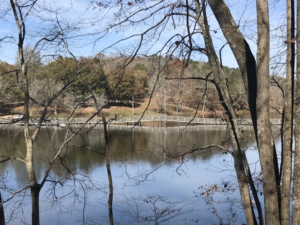
Enjoying the lake views, we continued on the trail where it met up with the Marble Mine Trail and we recognized the bridge and other spots. At the parking lot, we drank the water we’d forgotten to take with us and drove into Summerville for lunch.
Who was Sloppy Floyd?
I love the name Sloppy because it reminds me of Southern heritage. I grew up knowing grown men named Bubba, Buddy, Slim, etc. Turns out that James H. Floyd (1920-1974) grew up in the area with this nickname because he was so skinny, his football jersey appeared sloppy on him. He embraced this nickname even used it during his campaign for the Georgia legislature. Unfortunately, after serving as a member of the Georgia House of Representatives for 21 years, he died suddenly of a heart attack.
Additonal Information
Since no paper maps are available and trail signage is minimal, you might want to screenshot an image of the park map beforehand. We referred to it often on our hike.
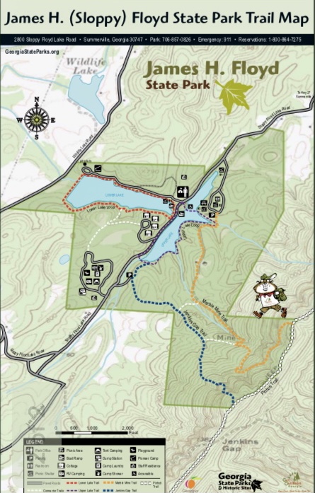
Other trails include the relatively flat Upper Lake Loop and Lower Lake Loop, which supposedly offer views of wildflowers in the summer. For more information about the park, visit their site here.
The Hike the South website, which I wish I’d known about it before our journey, details the complete hike we took here. They say the hike is 4.0 miles and that paper maps can be picked up in the park office which is across the boardwalk on Upper Lake.
