The Chattahoochee River National Recreation Area reopened in May after the mandated shelter-in-place restrictions lifted. We jumped at the chance to hike one of our favorite trails at the Vickery Creek Unit in Roswell, a northern suburb of Atlanta.
Cost, Fees & Parking
Parking is $5 per car if you park at the lot at 400 Riverside Rd, which is under the Chattahoochee River NRA (National Park Service) jurisdiction. Parking is free with an annual National Park Pass ($80) or an annual Chattahoochee River NRA Pass ($40).
Alternatively, you can park for free on the other side of the creek at City of Roswell’s Old Mill Park. At the park, you will find restrooms, a water fountain and picnic tables.
The Trails
From the Riverside Road parking lot, you’ll begin the trail at signpost VC1. Please refer to this map as the trail directions can be quite confusing. At the first fork (signpost VC2), you will turn right up the hill. You can go straight to follow along the banks of Vickery Creek, a tributary of the Chattahoochee River for a short while until you reach signpost VC3. However, the trail ends at some boulders and you will have to turn around to go back to VC2.
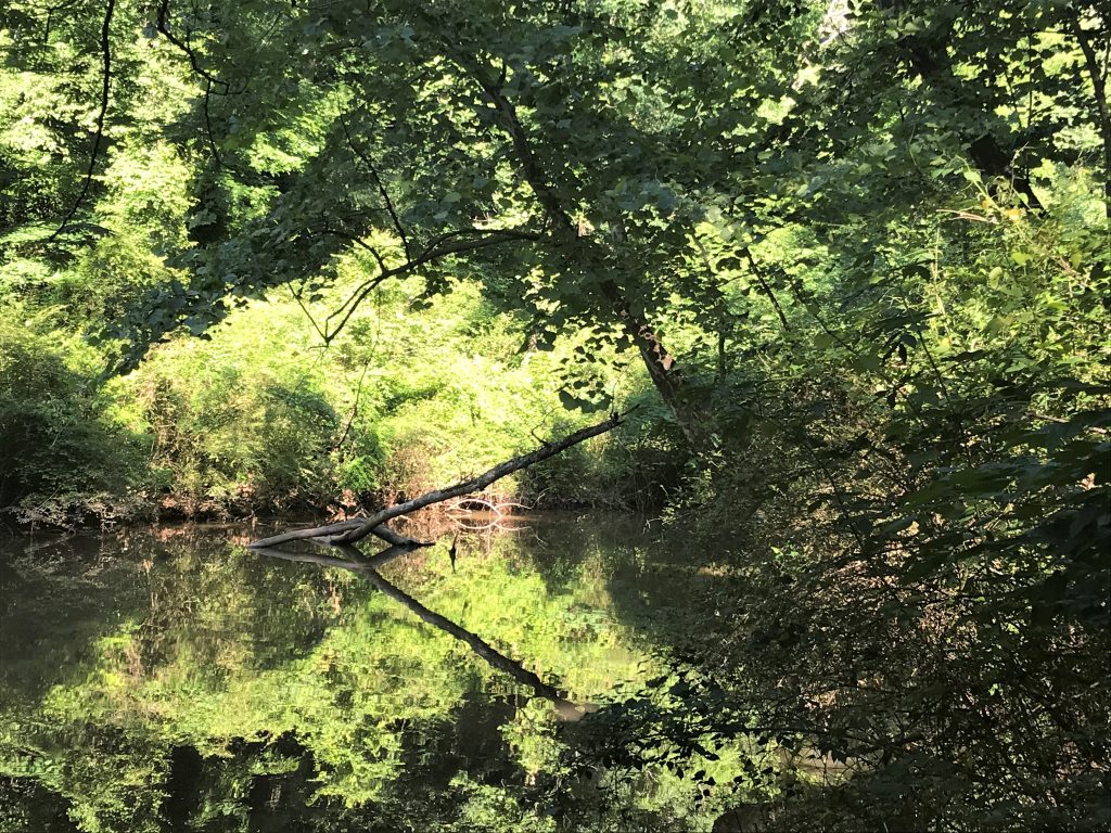
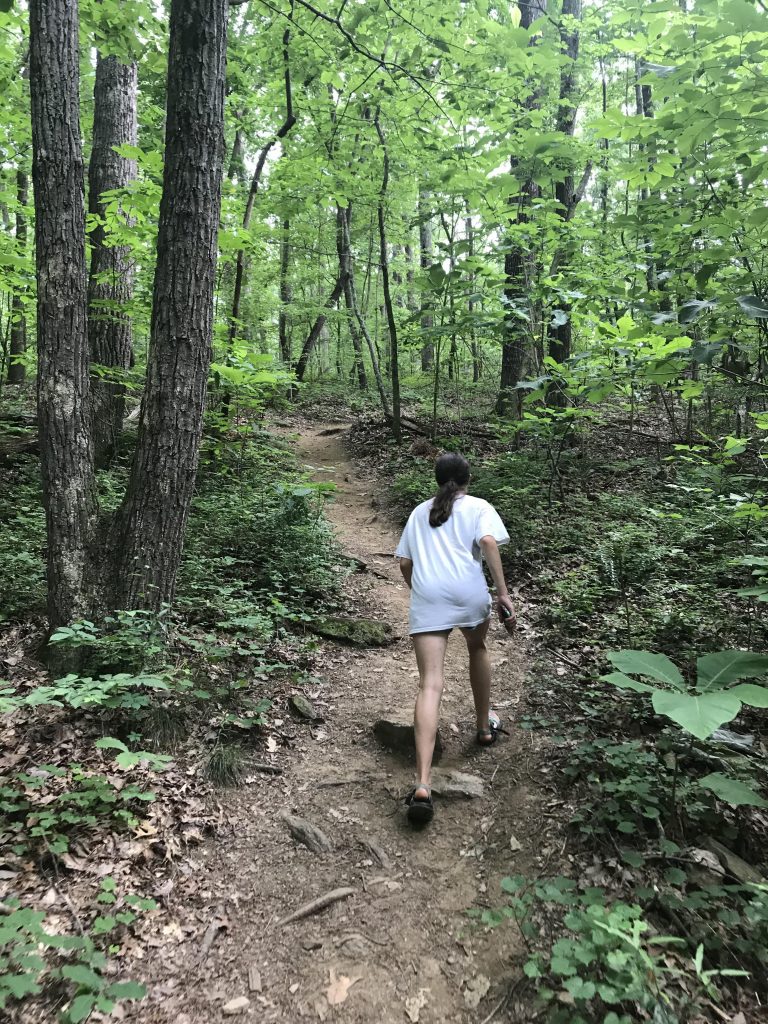
Since the area has a network of trails and numbered maps at every junction, there is no right or wrong way to explore the area. At VC2, we climbed up the ridge along several switchbacks. At VC8, we turned right to take the outer loop to VC7, VC21, VC23. Again, here is the trail map for reference.
This less populated path narrowed as we walked among the trees. I saw what I thought was a dog run across the trail in the distance and thought it strange I didn’t see an owner. As we walked closer, we saw a baby deer and an adult deer standing 15 feet from us. After watching me fumble for my phone to take a picture, they both darted off.
At VC 23, we could hear a few cars on nearby Grimes Bridge Road to the east. However, the trail soon turns west at Vickery (also called Big) Creek and leaves civilization behind.
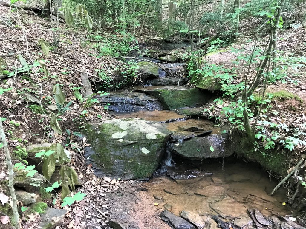
With the creek to our right, the trail took us uphill and downhill and crossed several streams. At VC26, we saw a small dam and came to a pedestrian bridge that leads across Oxbo Road to Waller Park. Instead of continuing along the creek, we turned south to go to VC 24, VC 25, VC 18, VC 17, VC 16.
We could hear laughter and people in the distance before coming to VC15. Here, stairs lead down to a covered bridge and Old Mill Park.
The Covered Bridge and Mill Ruins
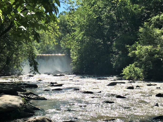
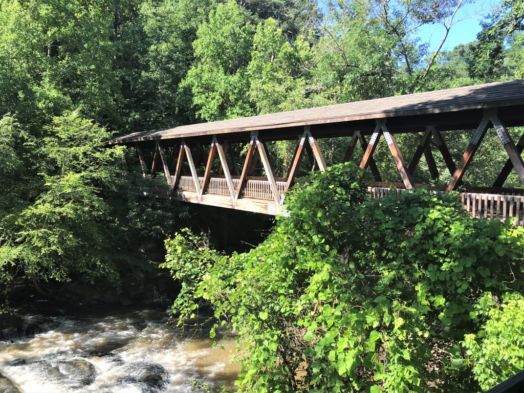
A favorite spot for photo shoots, the covered bridge takes guests across the creek. As we crossed, the powerful roar of water cascading downstream across the rocks met us.
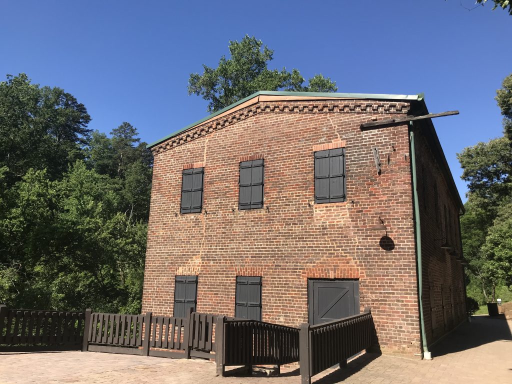
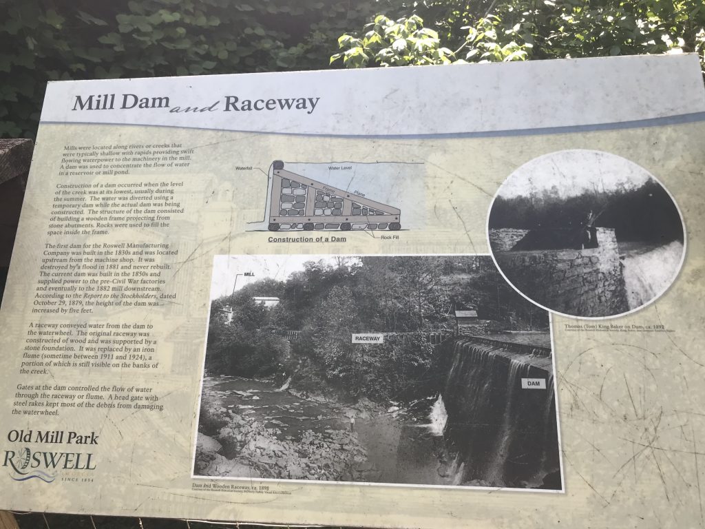
Old Mill Park begins here and features the ruins of the Roswell Manufacturing Company. While walking the path to the waterfall, interpretive signs gave us a history of the area and the mill.
Built in 1839 by Roswell King, the mill thrived and added a second mill in 1854. Unfortunately, General Sherman destroyed them both in July 1864. After the Civil War, the owners rebuilt one of the mills which later burned down in 1926. A second mill on the site, built in 1882, continued until 1975 under the names Roswell Mills and later, Southern Mills.

Machine Shop 
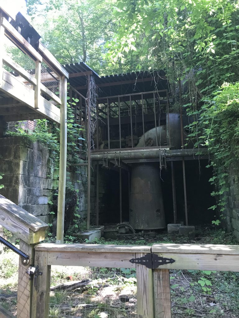
Power Room 
Detailed placard
Walking past the old bricks from the original mill, we came to the power room. Stairs lead to the lower level where we could get a better view of the machinery.
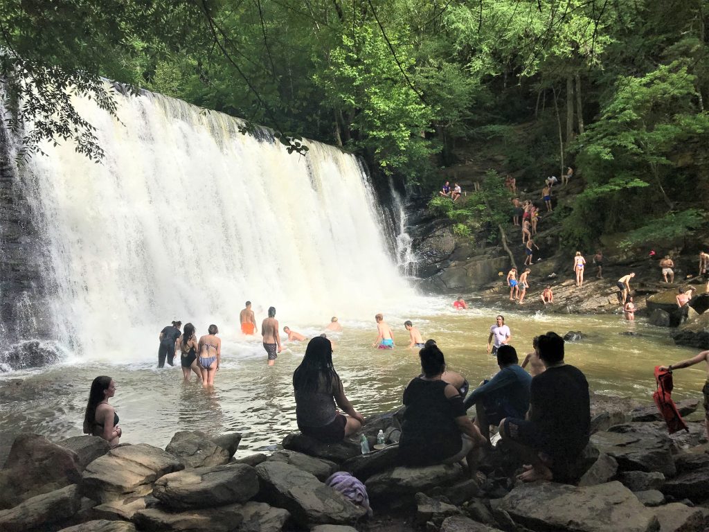
However, the highlight is the waterfall created by the 1850s-built dam. On summer days, people swim under the curtain of water flowing from the man-made dam. We walked down to the rocks and waded our feet in the refreshing water for a few minutes before our return trek.
The Return Trail
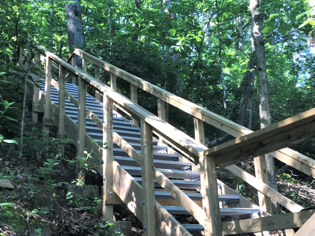
Crossing back over the covered bridge, we climbed the new staircase leading back to the trails at the Chattahoochee River NRA. Although the stairs may look daunting, they are much easier than the eroded trail that existed before 2018.
On the way back we missed the turn at VC16 and took the short path to VC19. As it descended, we had a view of the waterfall and creek from the south side. When the trail ended at rocks leading back to the creek, we turned around.
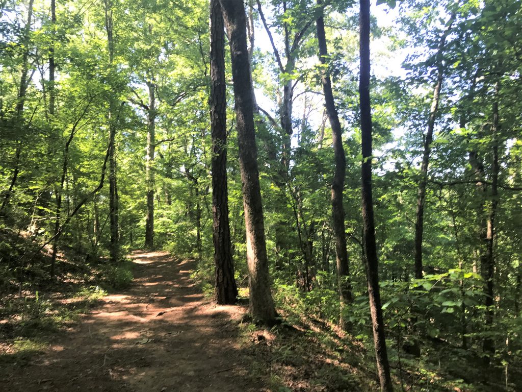
Back at VC16, we took the shortest path back to the parking lot, following signposts VC17, VC18, VC9, VC8, and VC4. Most of the time, the path was wide and level. After VC4, we descended down the switchbacks and could see the parking lot down below before reaching VC2 and VC1.
Conclusion
If you visit, go early in the morning as the parking lot at the Chattahoochee River NRA isn’t large. Plan to spend time exploring Old Mill Park by having a picnic, sitting on the rocks or even swimming near the base of the waterfall. Take a picture on your cellphone of the trail map so you can plot which routes to take.
For more information about the Chattahoochee River National Recreation Area, click here.
