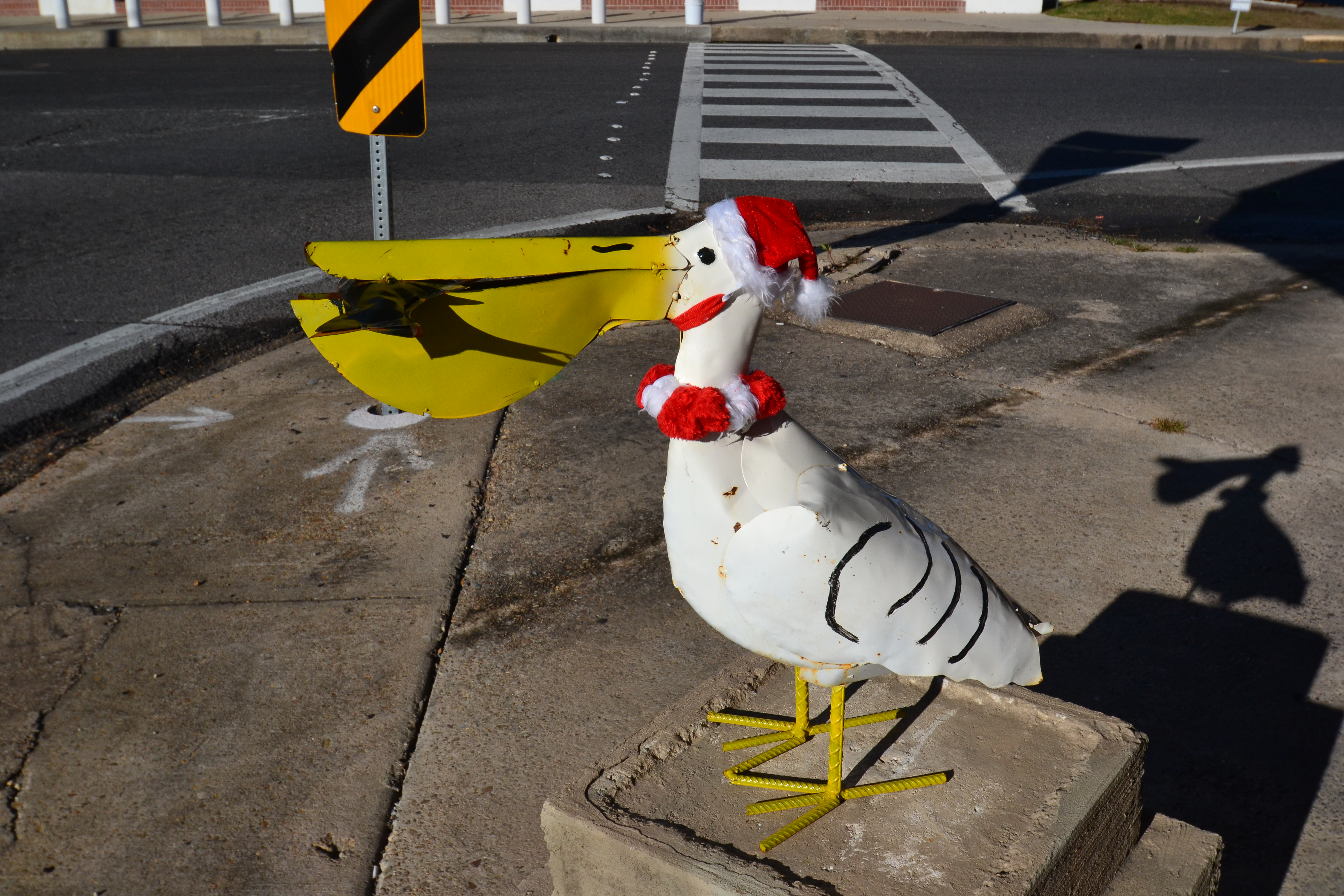
One of the most scenic drives in Louisiana is the Creole Nature Trail in the southwestern edge of the state. We did the western half of it in 2013, but decided to do the eastern portion of it a few weeks ago. It was Christmas Day so many of the stops were not open.
Abbeville, LA
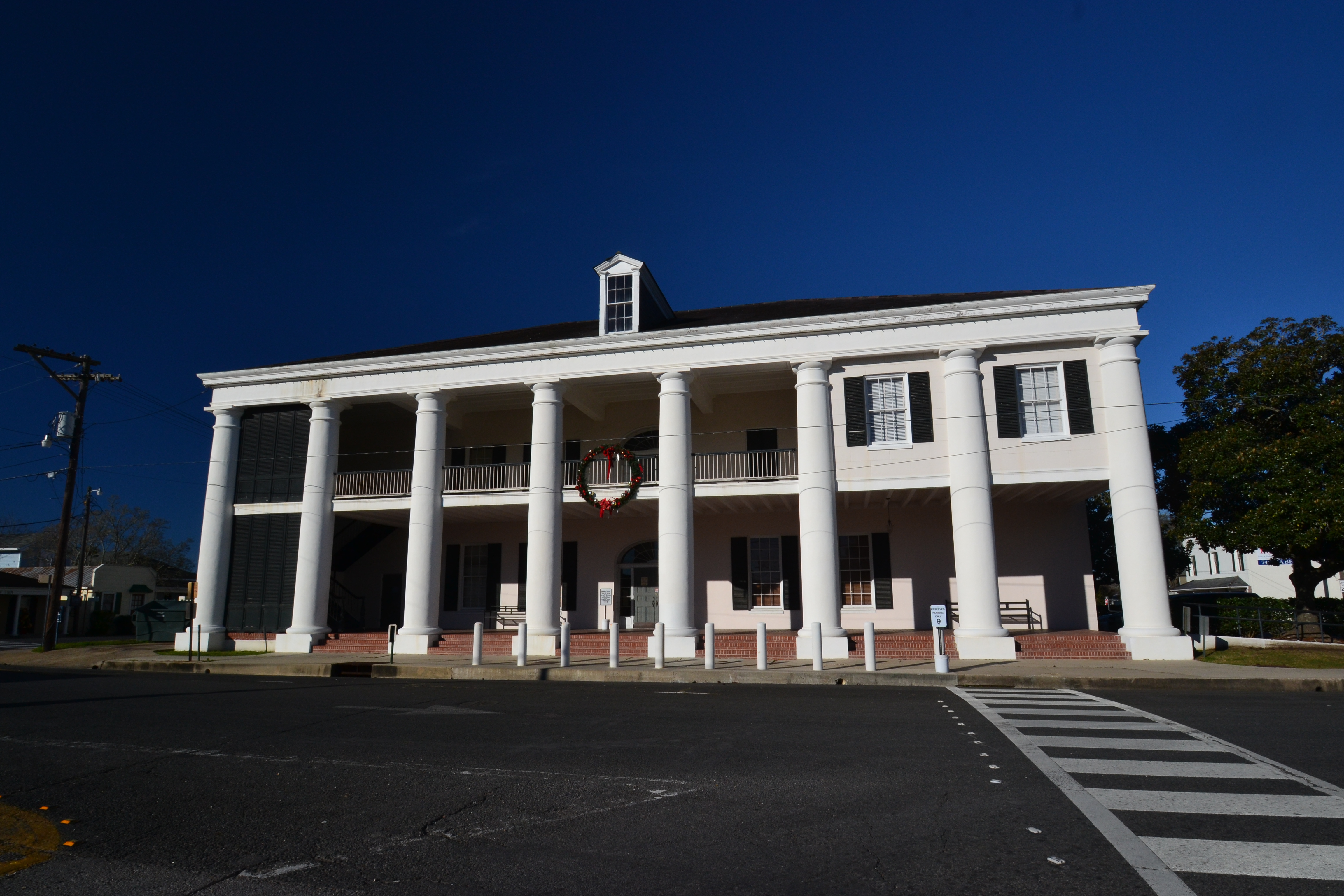
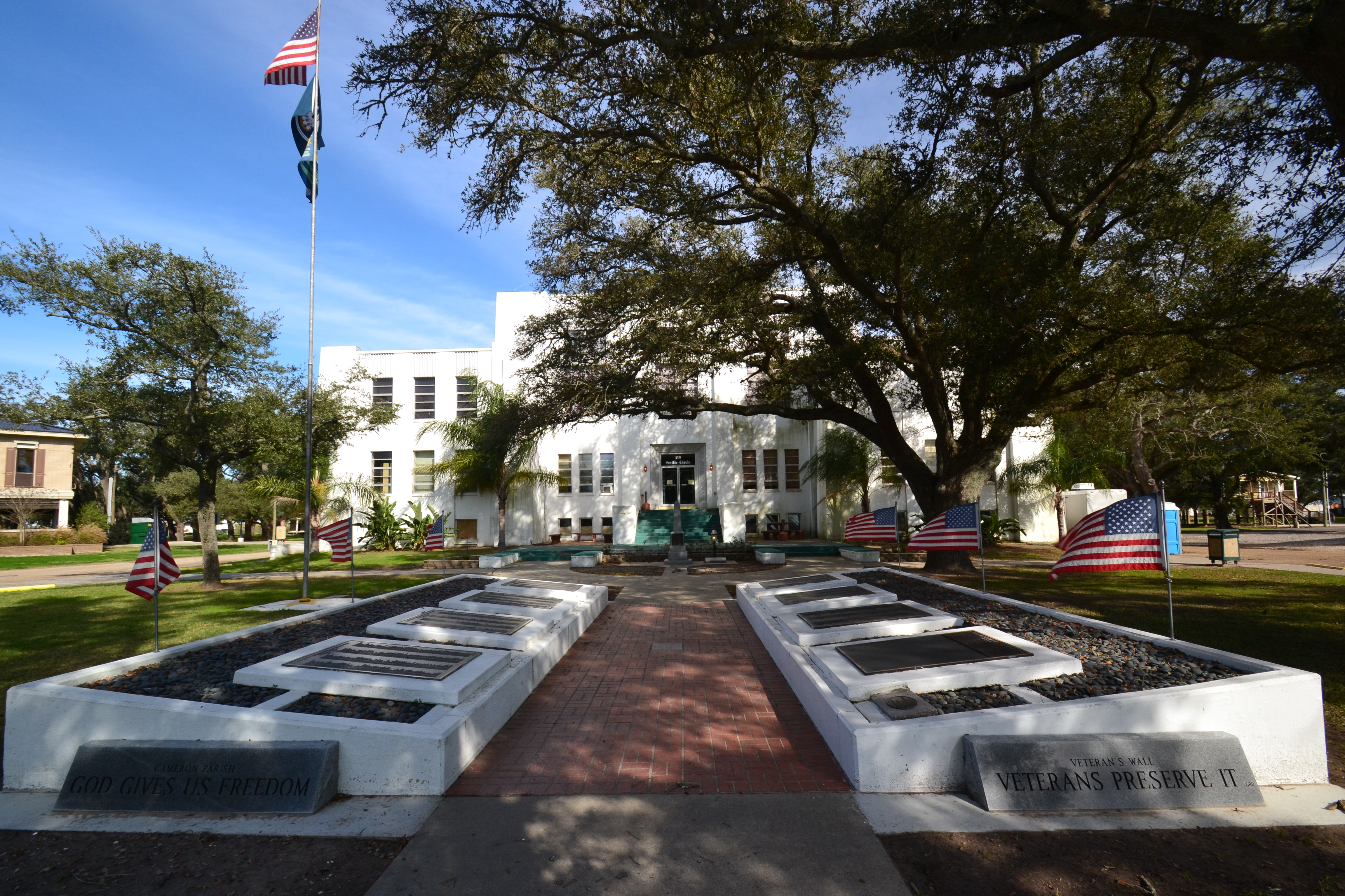
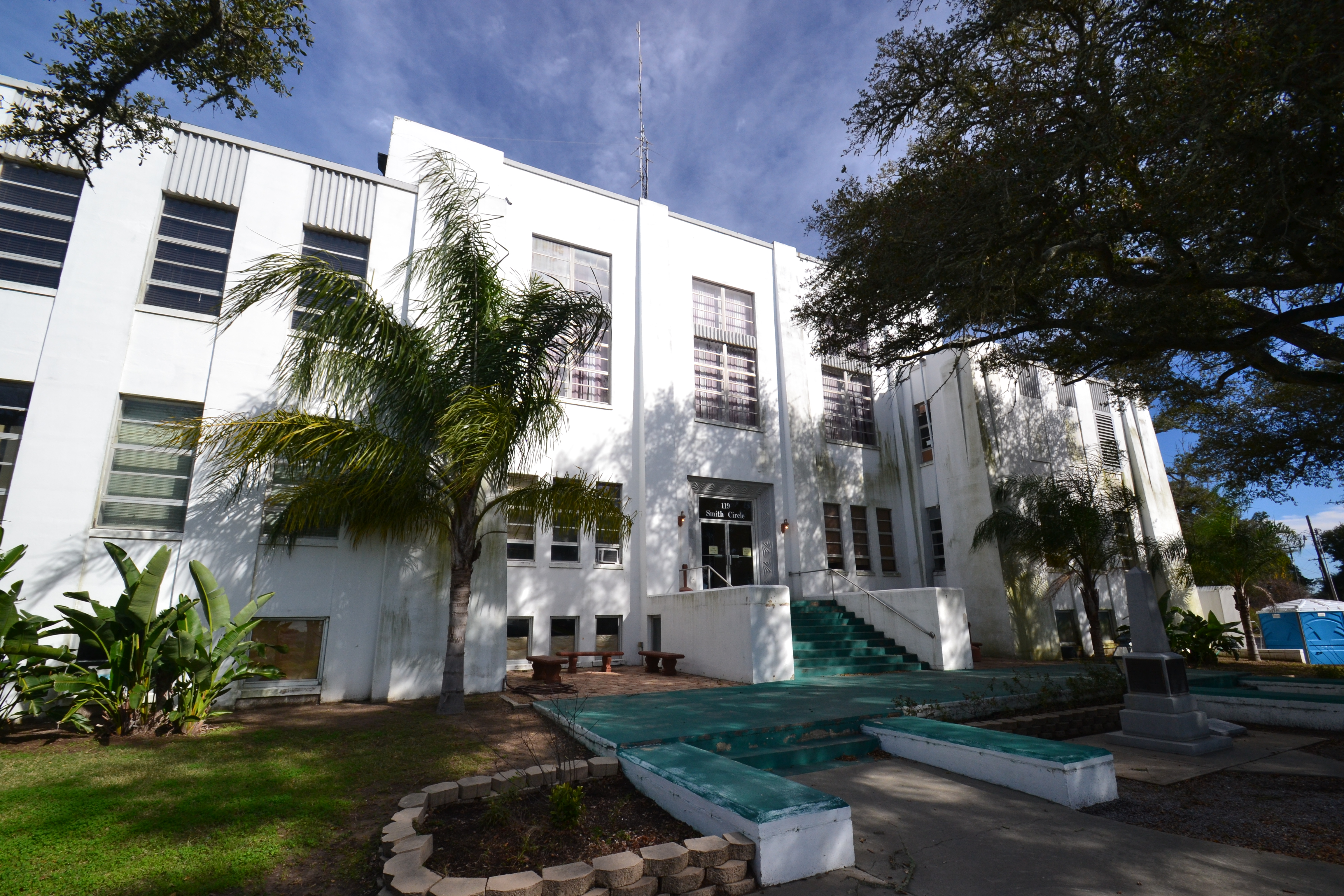
As we left Lafayette, we headed south on Highway 167 to Abbeville, La – a small town in Vermillion parish. The main claim to fame is the Palmetto Island State Park, but we didn’t have time to visit. The highway led us through the town square and around the Vermillion Parish courthouse. It’s my favorite style of archictecture, much like the style of famed architect A. Hays Town. It was no suprise when I later learned that Mr. Town built the Greek-Revival building in 1953.
Leaving Abbeville was a bit confusing. We saw a sign for a detour but didn’t realize it was meant for us. Sure enough – about three miles south of Abbeville, the bridge was closed and we had to turn back, go through Abbeville and go down the alternate route on the other side of the bayou for a few miles. Once, we were back on LA 82, we explored the eastern spur of the Creole Nature Trail.
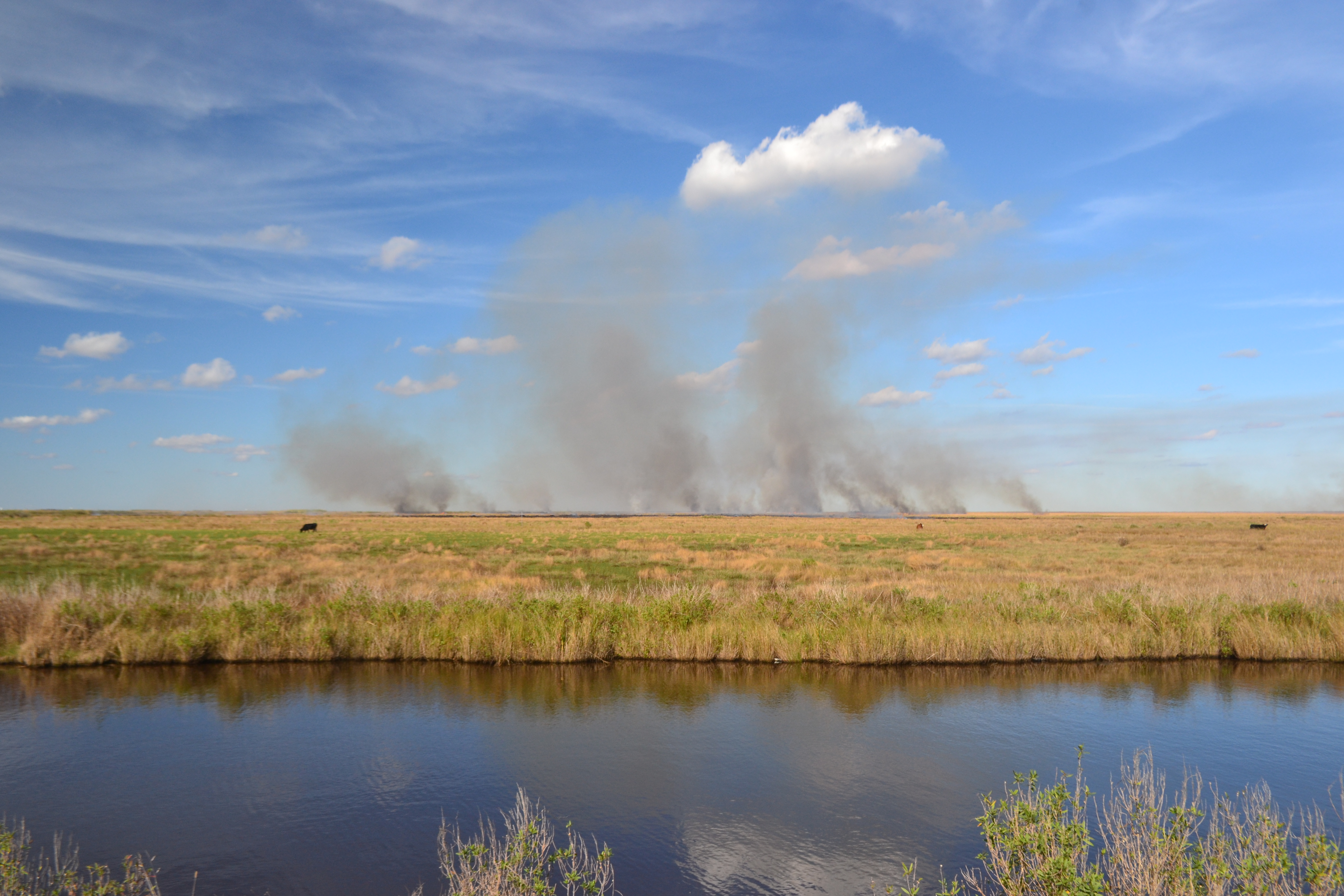
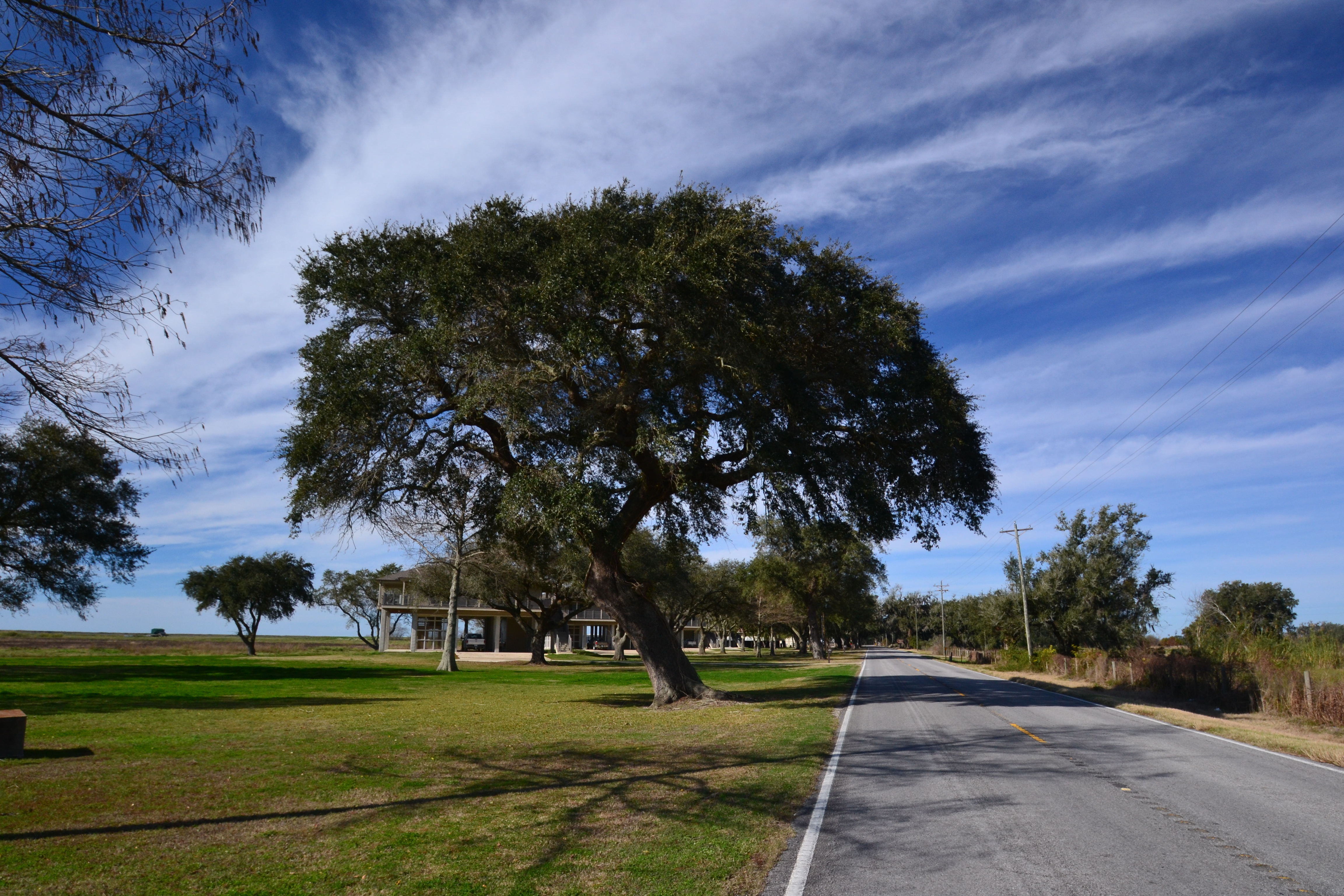
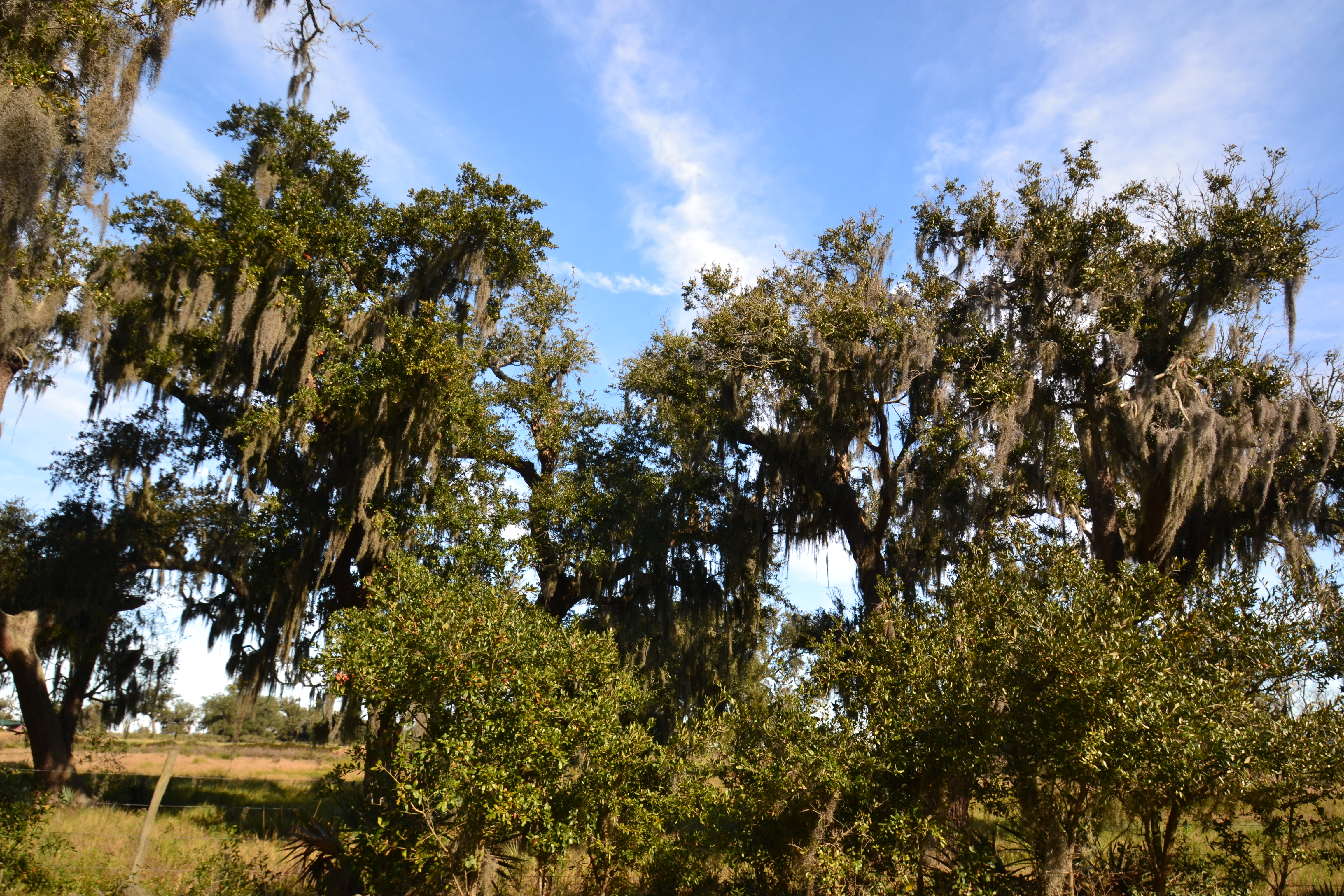
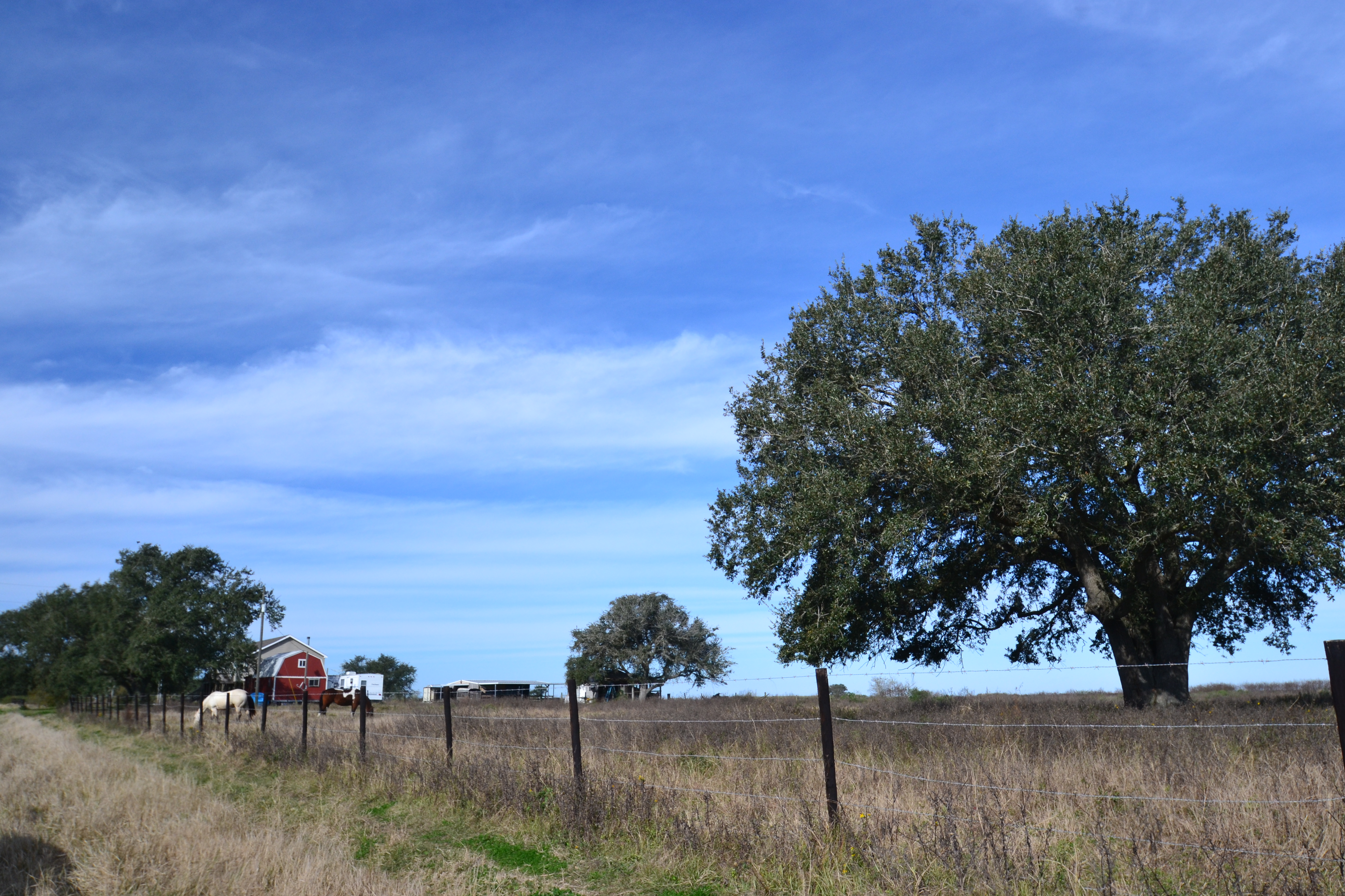
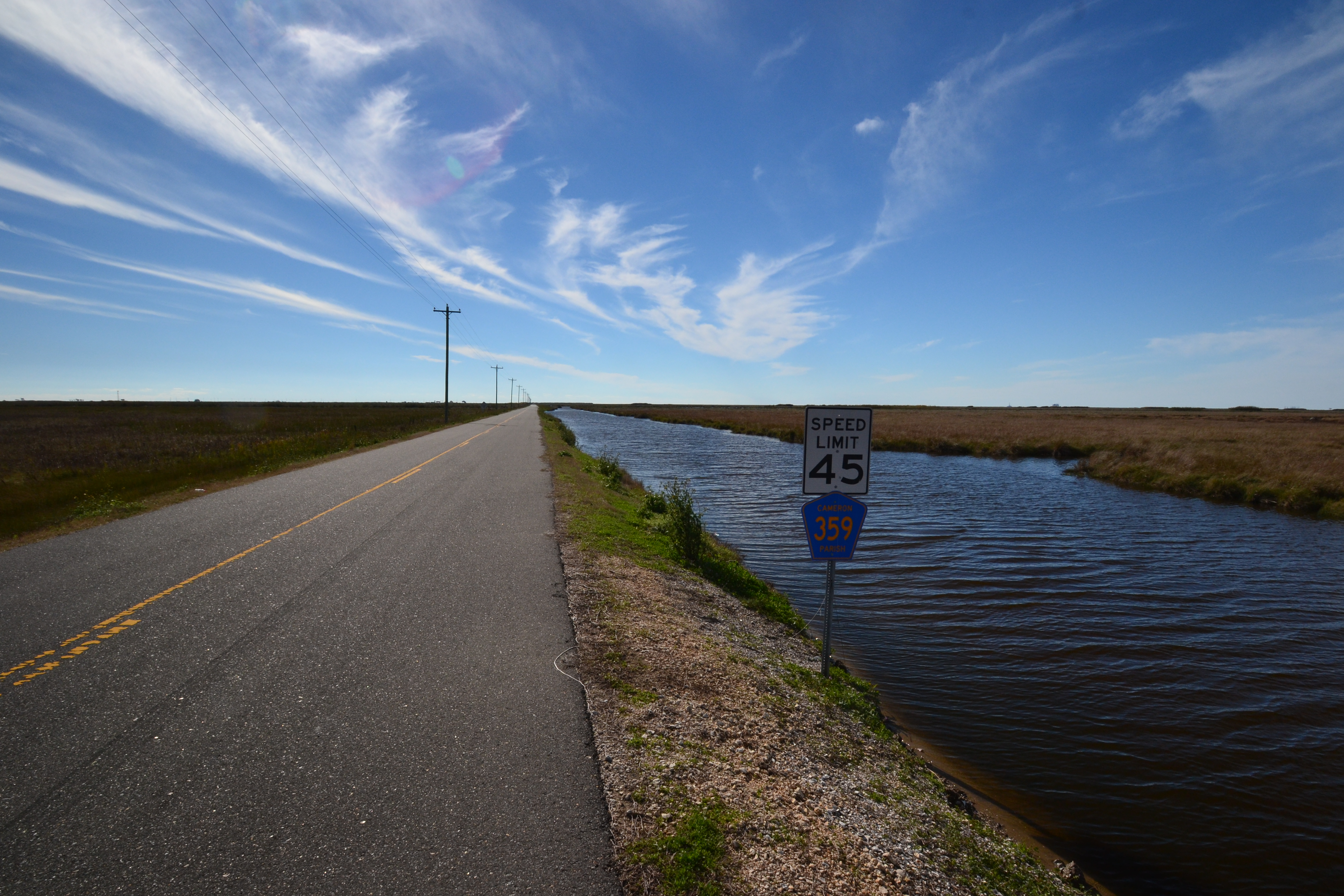
The first part of the route was pretty much like the picture above – flat. Without the electric wires, you would think you were on the edge of the earth. In reality – we were as the Gulf of Mexico was just a few miles south of us. We passed rice fields, as well as the Rockerfeller Wildlife Refuge – a 74,000-acre area devoted to alligator research. As we crossed into Cameron Parish, we looked at the Creole Nature Trail app and were able to listen to the audio guide explaining the sites we were passing. The area was flat, but then large groups of trees, called chenieres, started appearing. As we drove into the unincorporated community of Grand Cheniere, we learned that these are unique to the Cajun coast. The word comes from the Acadian word, Chene – meaning oak. And that’s what they were, groups of live oak trees that appeared sporadically along the highway.
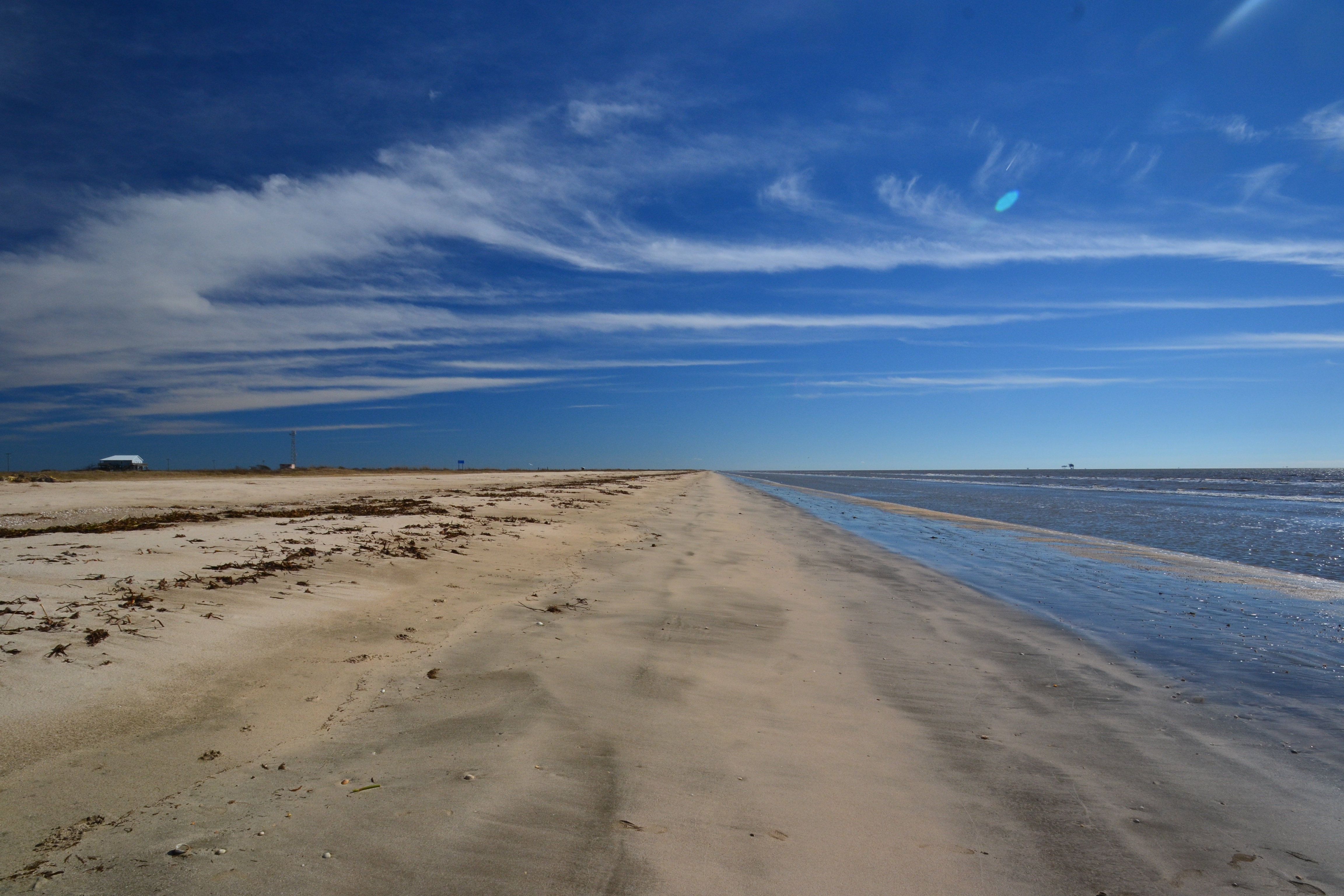
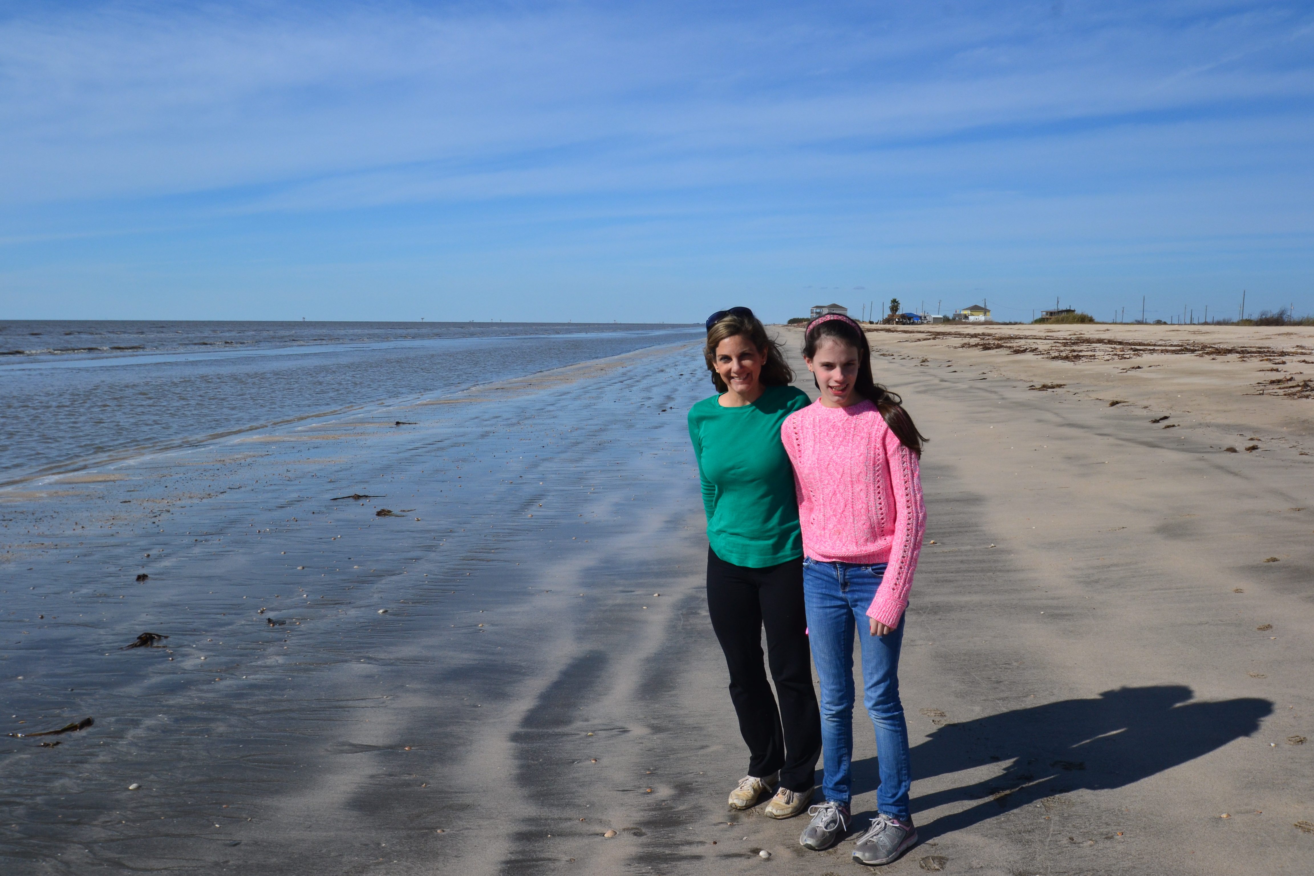
As we entered the community of Oak Grove, we could take the more popular route of the Creole Nature Trail north up to Lake Charles – passing the Cameron Prairie National Wildlife Refuge, but we chose to hug the coast the entire way. The first stop was Rutherford Beach.

We stayed on the spur to go to the town of Cameron. I had always heard of this town and how it had been destroyed by Hurricane Audrey in the late 1950’s. Recently, both Hurrican Rita and Ike ravaged the town – the latter leveling 90% of the homes. Today, it has a population of only 406.
Leaving Cameron, we realized that we had to cross the Calcasieu Ship Channel – and there was no bridge! Thankfully, ferry service ran every half hour even on holidays. For the small sum of $1 a car, we boarded the ferry. Unfortunately, passengers weren’t allowed out of the vehicles so we couldn’t get better pictures.
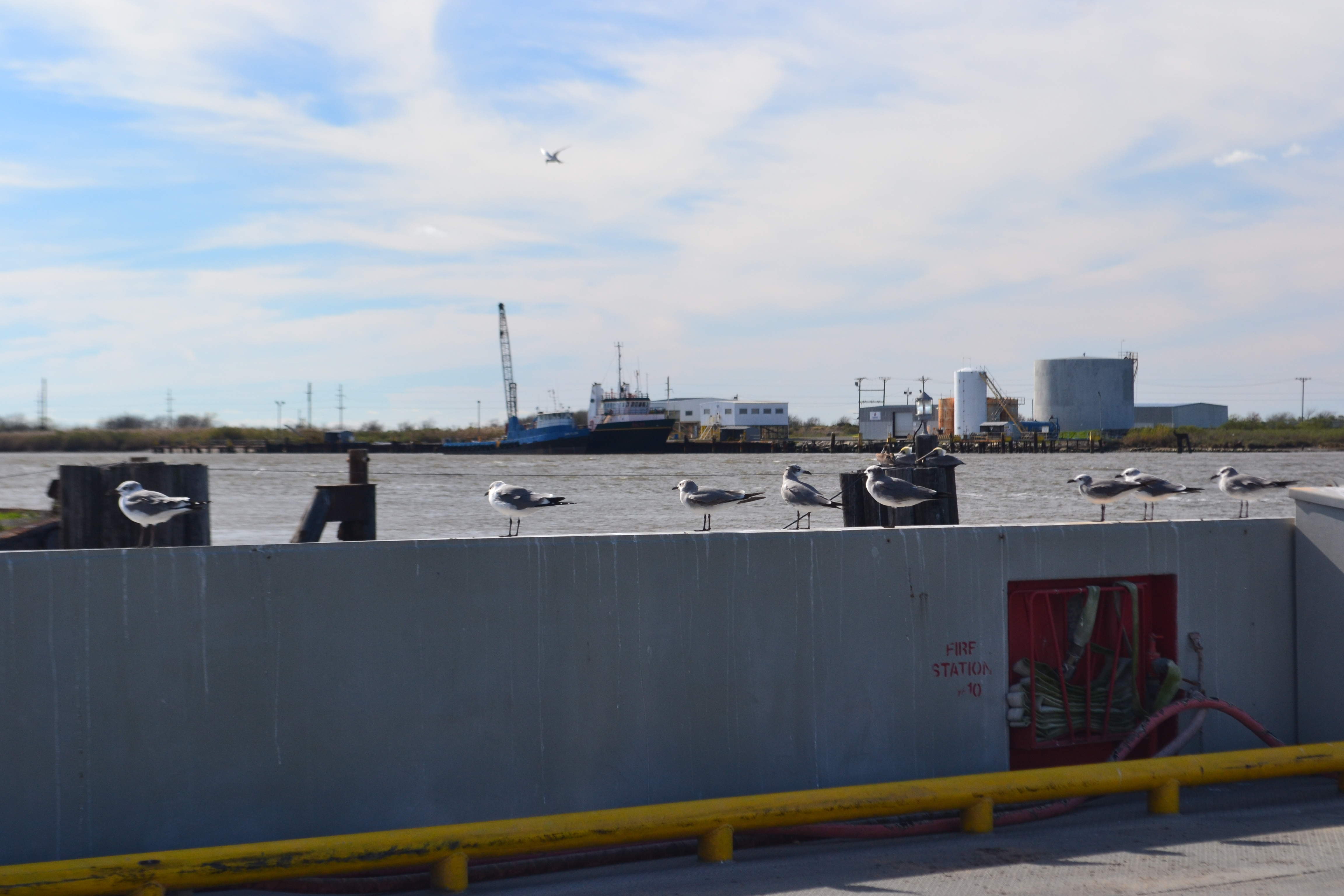
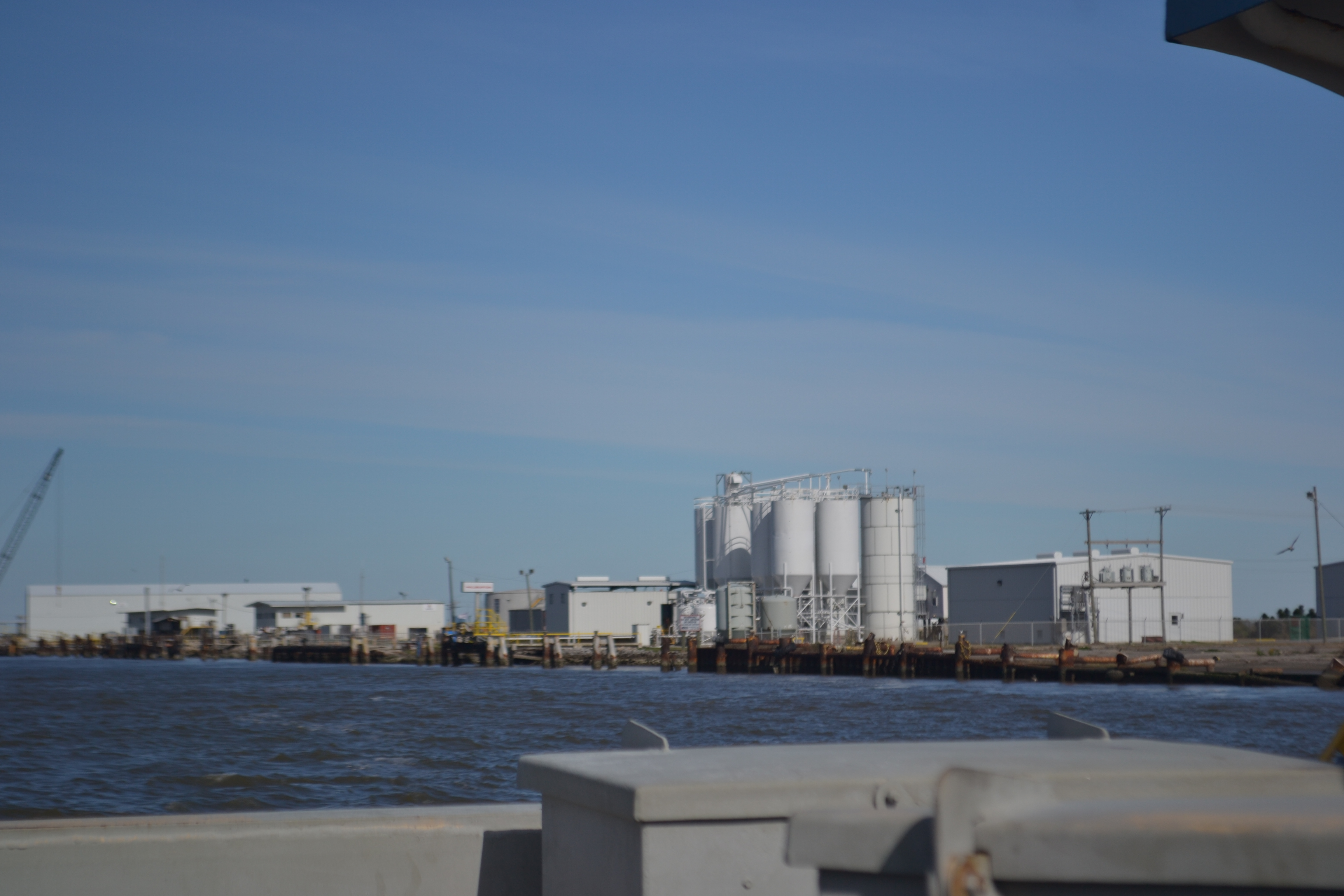
I can’t say it was the prettiest part of the trip, but it is Louisiana and most of the economy is due to oil. The ferry ride took no more than seven minutes and we were on our way. Once we got to Holly Beach, we saw the turn-off for the other part of the Creole Trail on La 27. Back in 2013, we had driven the western spur from Port Arthur, Tx to Holly Beach and then north on La 27 through the Sabine National Wildlife Refuge including the Wetlands Walkway, up through Hackberry and then to Lake Charles.
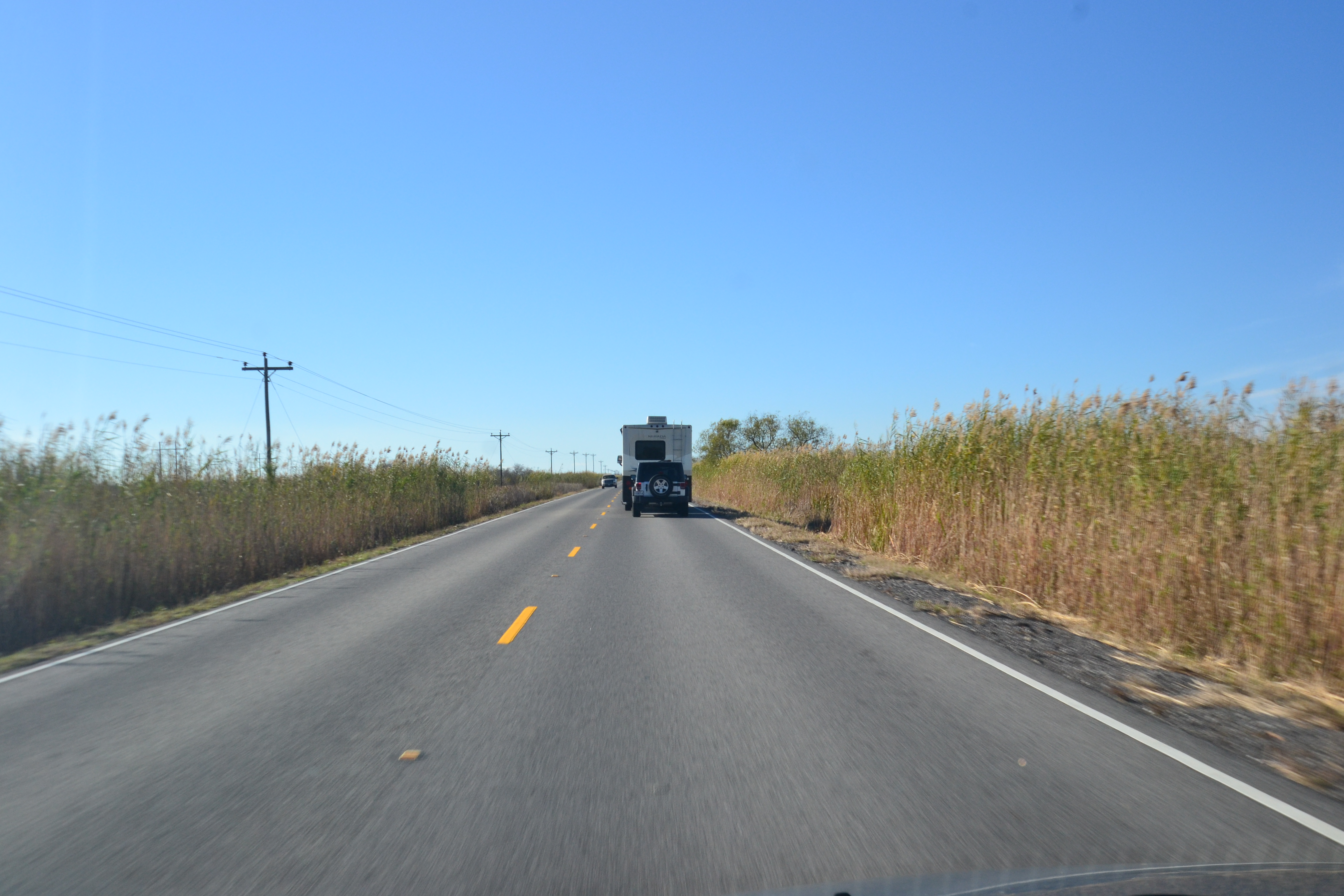
As we continued on the western spur towards Port Arthur, we agreed that the trail is extremely scenic. It’s a part of Louisiana I had never seen – expecially the cactus that appeard on the side of the road.