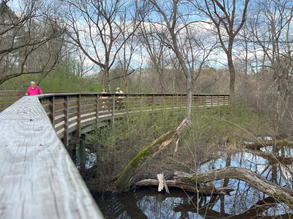
We recently found another great hike in the Atlanta area at Mason Mill Park. Right near the Emory campus, this trail allows visitors to feel far removed from the city. At 3.8 miles in length, the Mason Mill Trail (also called the South Peachtree Creek Trail) offers a scenic forested walk among boardwalks over wetland areas. You don’t have to do the entire Mason Mill hike at one time. Instead, choose one of the two sections by starting at Mason Mill Park.
Mason Mill Park – the Starting Point
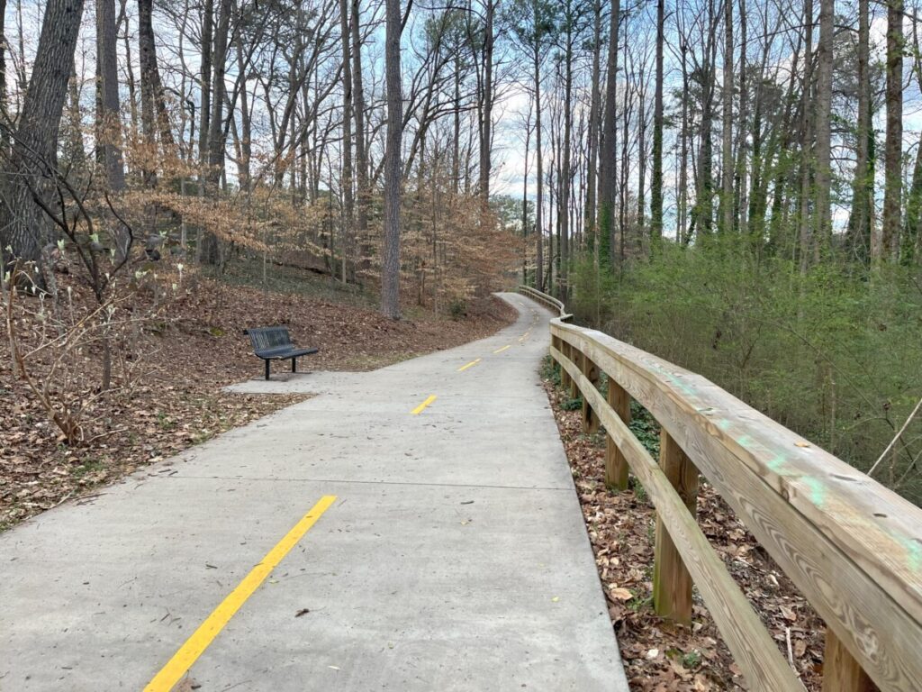
At 120 acres, Mason Mill Park offers the best parking to access the trail. From here, you can choose which section (or both) to take. When entering, drive past the playground to park at the tennis complex (DeKalb Tennis Center) at the south end. You’ll see the access point to the park from the triangle-shaped parking lot.
Mason Mill Park to Medlock Park
On our first visit, we took the 2.2-mile (round trip) path to Medlock Park. To do this section, we turned right at the paved access point with several park benches. Soon, a split in the trail appeared. If we continued straight, we would eventually reach the Emory University campus. Instead, we took the path to the right onto a bridge crossing over railroad tracks.
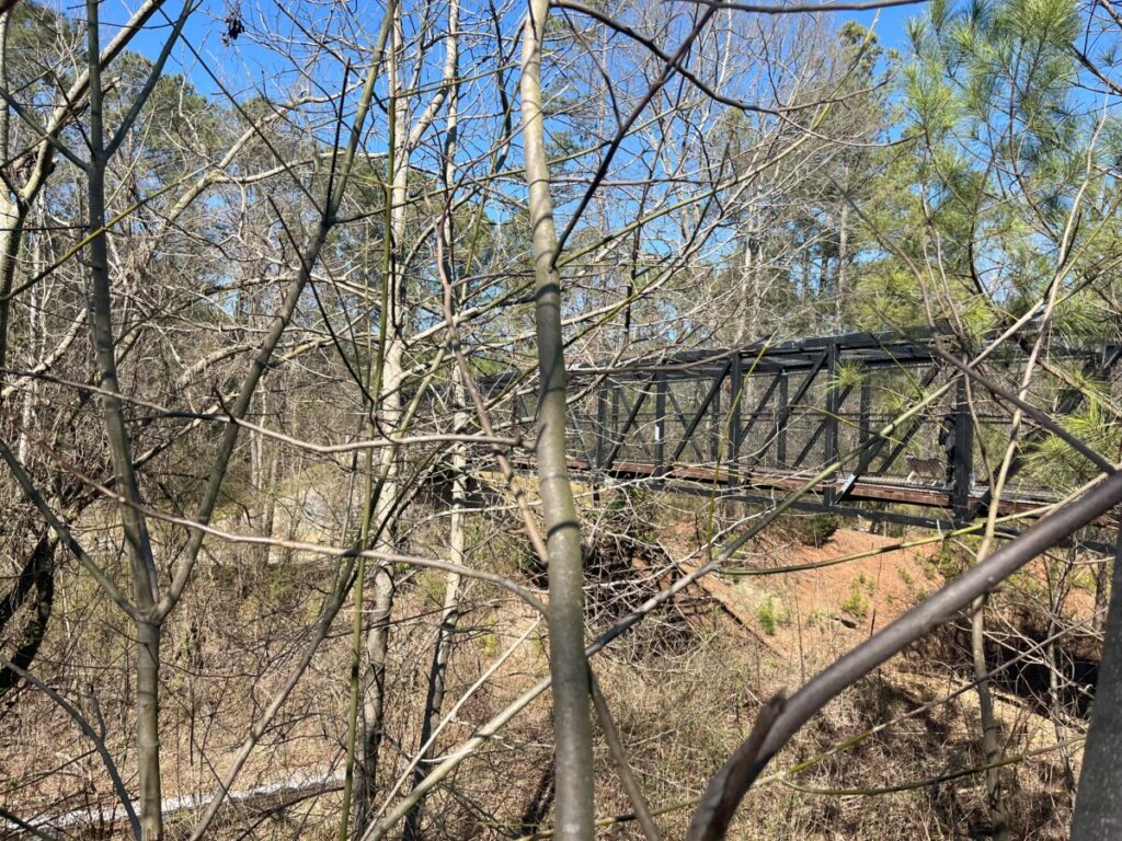
After crossing the railroad tracks, we found ourselves on the historical site of Decatur Waterworks. A large water tower covered in graffiti rose next to us. Soon, a sign along the boardwalk gave us the area’s history. Built around 1907 for $47,000, the Decatur Waterworks supplied drinking water to Decatur until the early 1940s. The 42-acre property included a brick administration building, several water tanks, and two dams. You can see pictures of the original structures and maps here.
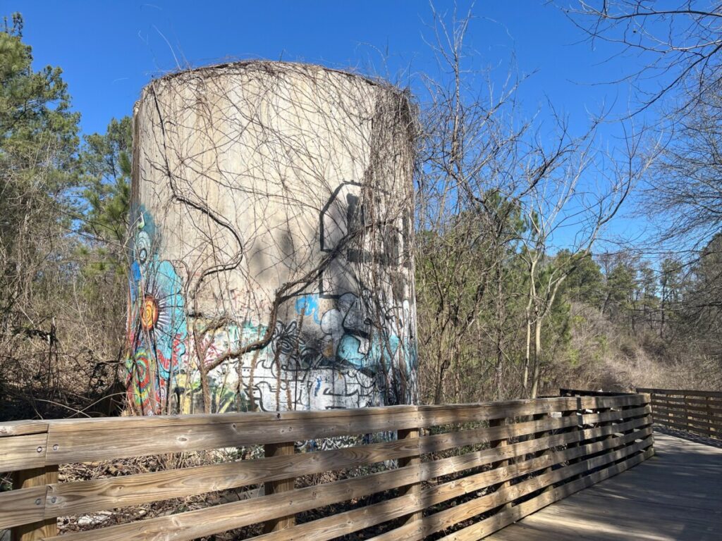
In the late 1930s, the WPA built a park with a grill and picnic tables adjacent to the waterworks. After the plant provided drinking water for the Naval Air Station (now Peachtree Dekalb Airport) during WWII, the property and park fell into disrepair for many decades. Efforts to restore the area never came to fruition until the site gained National Register of Historic Places status in 2006. Construction for the trail began in 2008, with over a mile of boardwalks on this section.
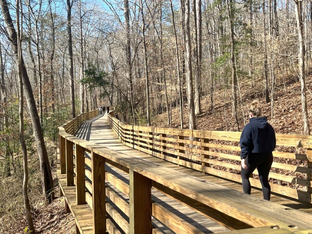
You don’t have to stay on the Mason Mill Trail the entire time. Several short, dirt path loops come off the main trail including the Watershed Loop and Piedmont Loop. We took a piece of the High Point Loop just to wander among the trees.
Back on the main trail, we felt far removed from the city. As we neared South Fork Peachtree Creek, we noticed the backs of several houses. The trail put us in a quiet residential neighborhood where we crossed Willivee Street to continue.
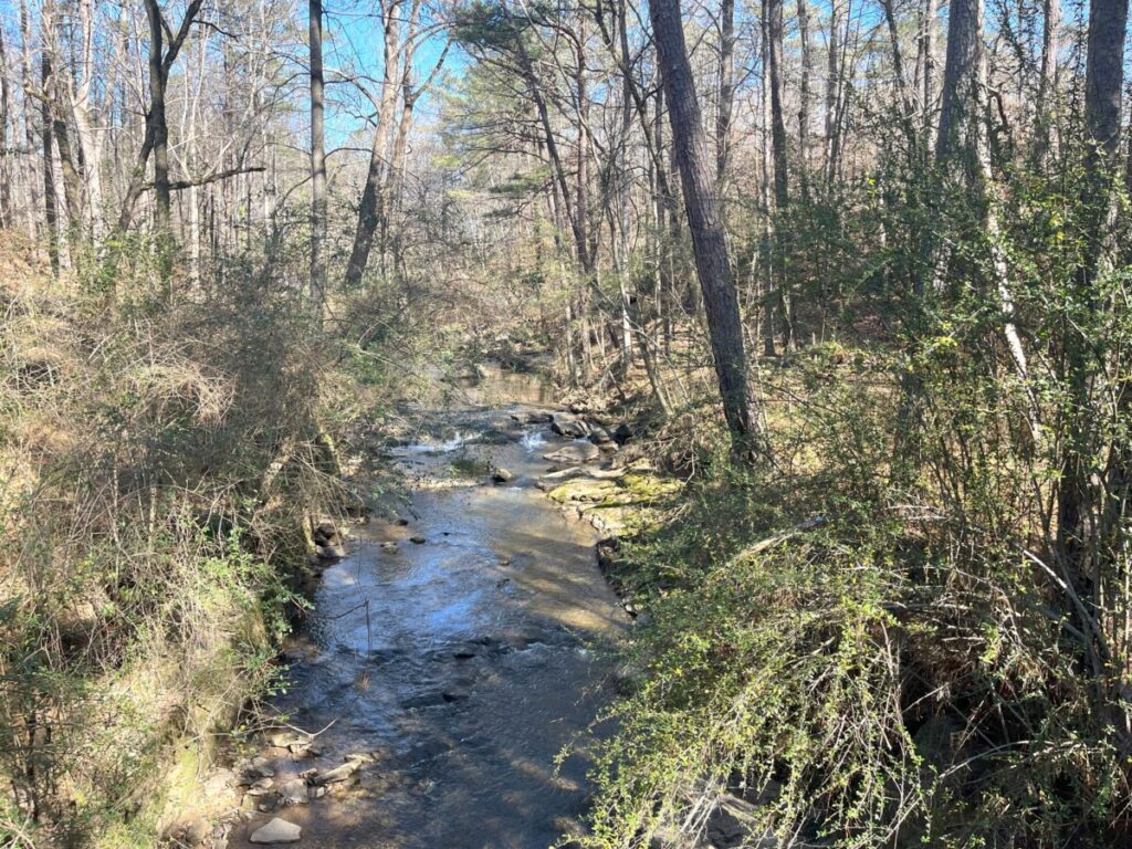
At Medlock Park, we walked past a few baseball fields to the end of the trail at the parking lot. While parking is available here, it appears to have fewer spots. We turned around for the return hike to our starting point.
Mason Mill Park to North Druid Hills Road Extension
Back at the tennis center complex, continue north for the extension trail to North Druid Hills Rd. Completed in 2017, this extension follows Burnt Fork Creek for a 1.6-mile (round trip) hike. We came back another day for this segment on a weekday.
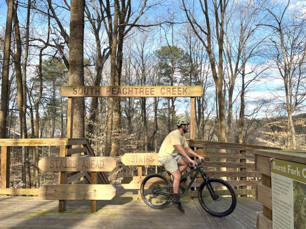
After walking past multiple tennis courts, we started on the boardwalk section. The trail drops in elevation quite suddenly with a choice of stairs or a series of ramps. Just so cyclists don’t miss the ramp to the right, barricades only allow walkers to access the stairs.
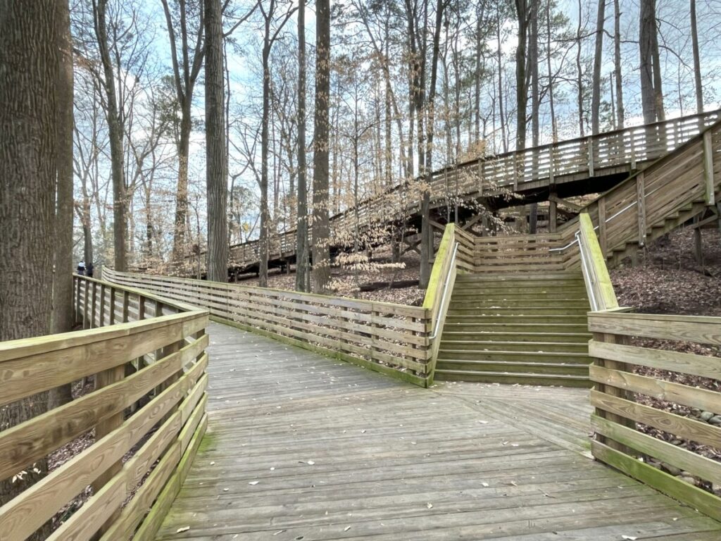
The boardwalk trail sits about 10 feet above the ground giving us an elevated view of our surroundings. Soon, the trail followed along the railroad tracks to the right. At one point, we could take several small trails to the left, including one to the Mason Mill dog park. It will be fun to explore on another day.
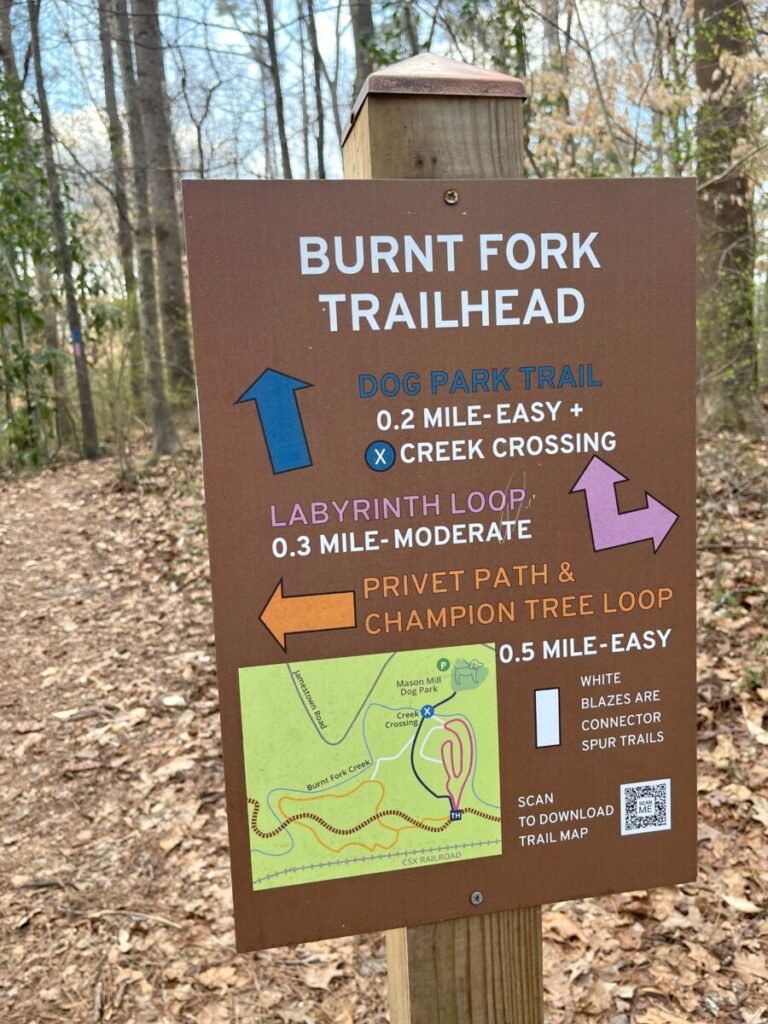
Compared to the trail that leads to the waterworks and Medlock Park, this trail affords views of the wetlands and except for the staircase area, remains relatively flat.
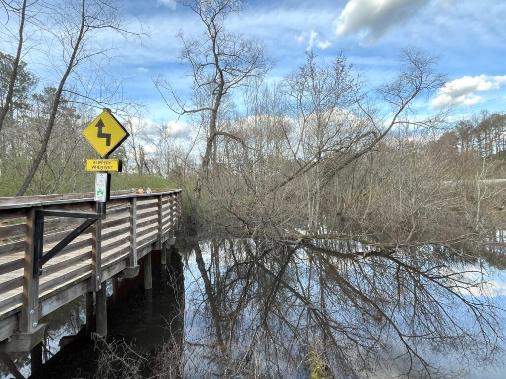
Every so often, bump-outs gave us spots to stop and admire the water and surrounding nature. The path becomes concrete near the end of the extension at North Druid Hills Road. We turned around and headed back to the car. However, the cyclist in front of us crossed over the busy street and continued to ride through a residential neighborhood on Spring Creek Road.
In Conclusion
If you’re looking for an intown trail that feels away from city life, the Mason Mill Trail is for you. Parking is easy and restrooms are available at both parks. You can make the hike longer by exploring all the side trails too.
Check the Dekalb County Parks website here for the best map of all the trails and a schedule of naturalist-led hikes. The Path Foundation also offers another good map on its website here. Check these websites as progress continues to extend the trail.
