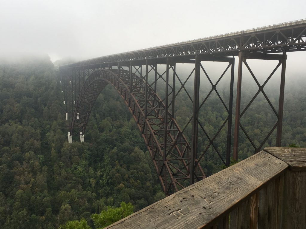
On our last day, sunny skies abounded. However, as we neared the New River Gorge Bridge*, patches of fog settled on the road. By the time we got to the viewpoint, there was no view.
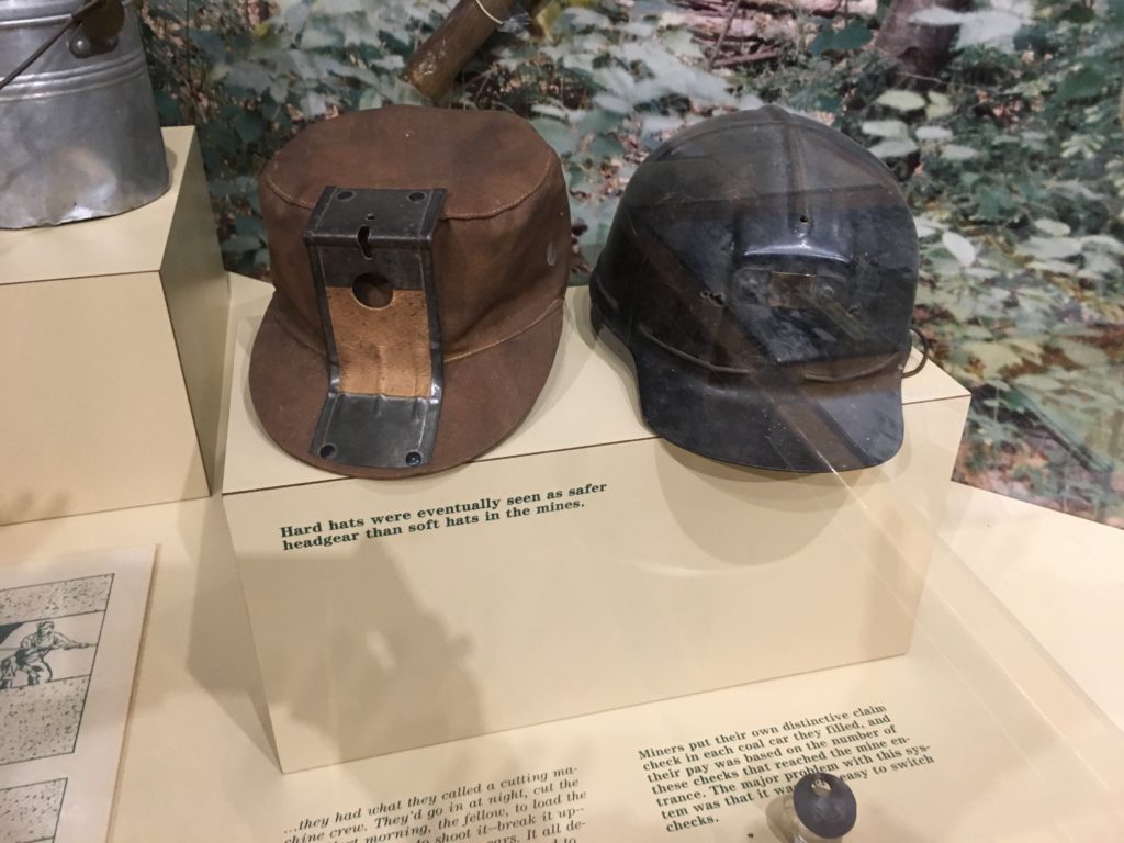
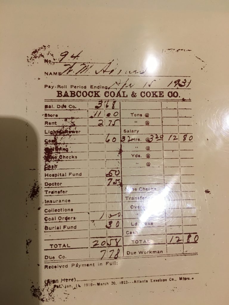
Disappointed, we went inside the Visitor Center where we found out the film presentation wasn’t working either. We walked around the exhibits learning about the area, the coal towns that dotted the river and the importance of this bridge that was built in 1977.
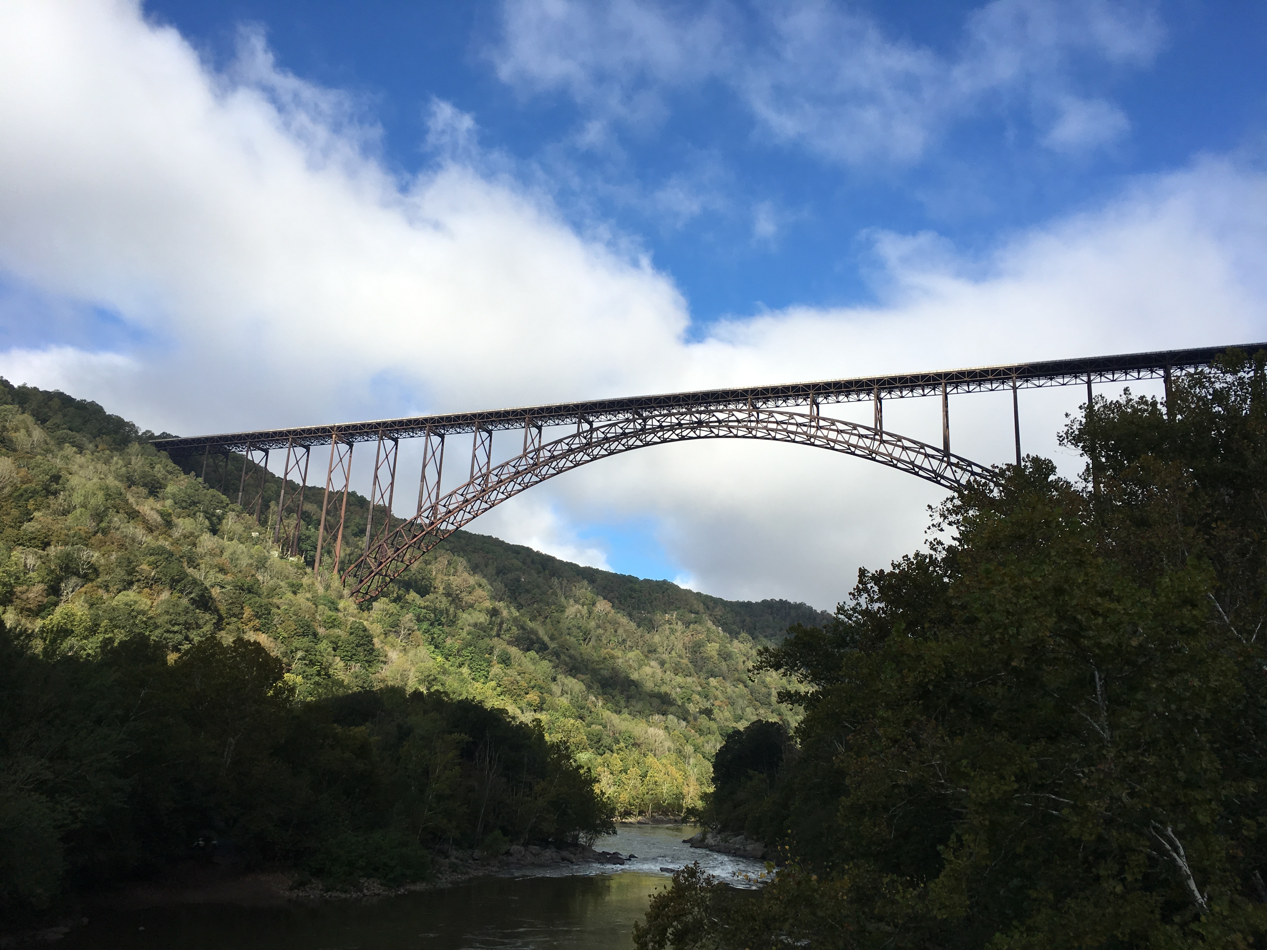
Thing 2 and I walked back to the viewpoint where we could see a bit through the fog. We took the path down the stairs mainly for the exercise. It turned out the further we walked down, the more the fog had lifted. By the end of the path, we had excellent views of the bridge.
The National Park rangers told us how to take the road to the bottom of the gorge and onto the Fayette Bridge. This was the original path people had to take to cross the river at this point. The drive was to take about 45 minutes (compared to the 45 seconds to cross the New River Gorge Bridge on Hwy 19). Sunlight slowly glistened on the trees and fog began to burn off.
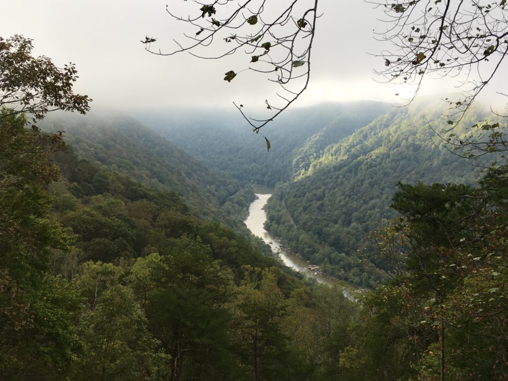
The road looked long but really went quickly. Several times we crossed under the bridge with neat vantage points. 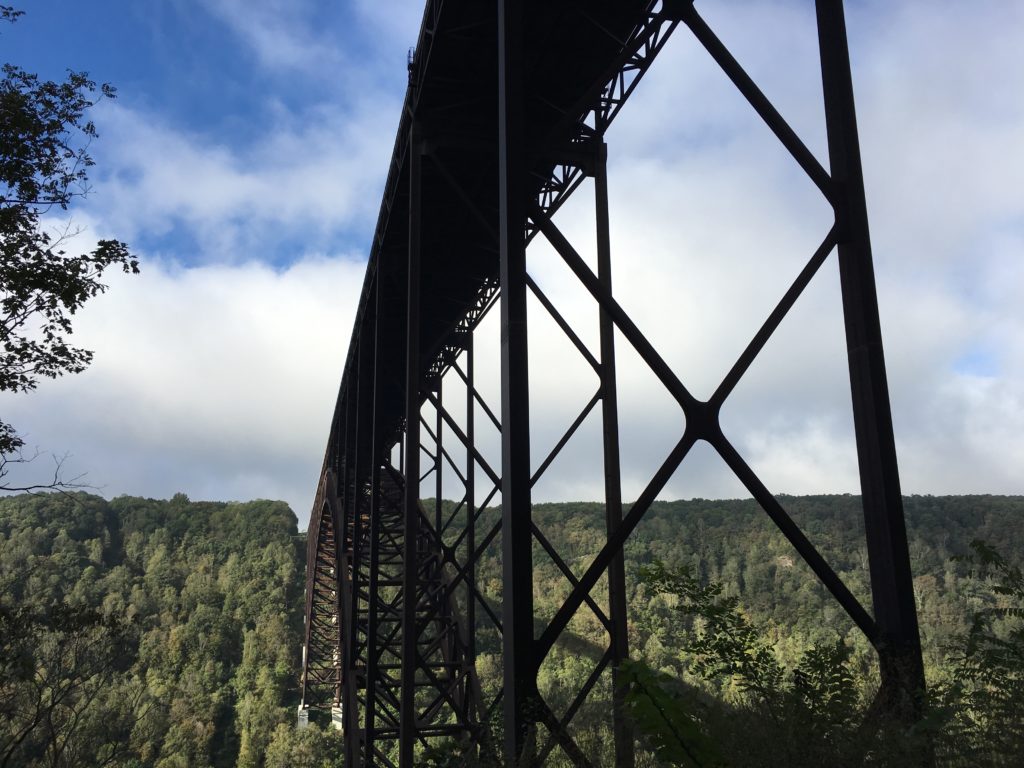
When we got to the old bridge, we got out and took pictures of what I thought was the best view. At this point stood the towns of Fayette and S. Fayette. However, nothing was left there.
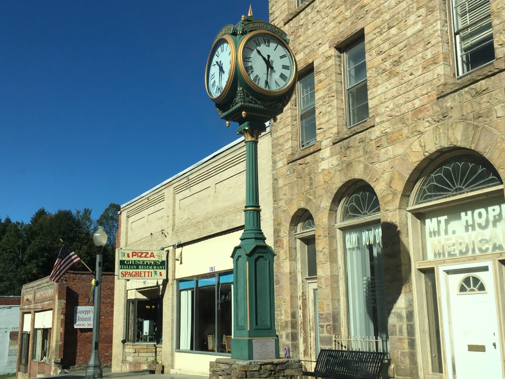
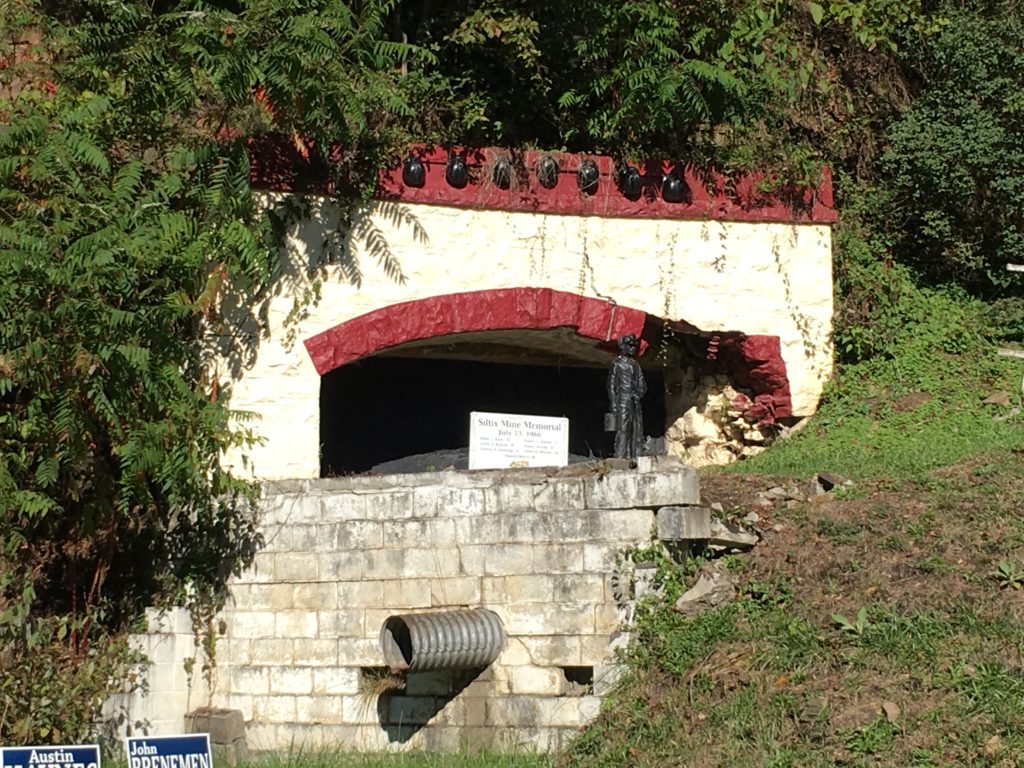
Once we got back onto Hwy 19, we decided to drive through Mt. Hope. Once a thriving coal town, the place has several plaques about the town and we saw the old buildings of the hotel and New River company headquarters.
*In 2020, New River Gorge Bridge was redesignated as New River Gorge National Park and Preserve. For more information, click here.
