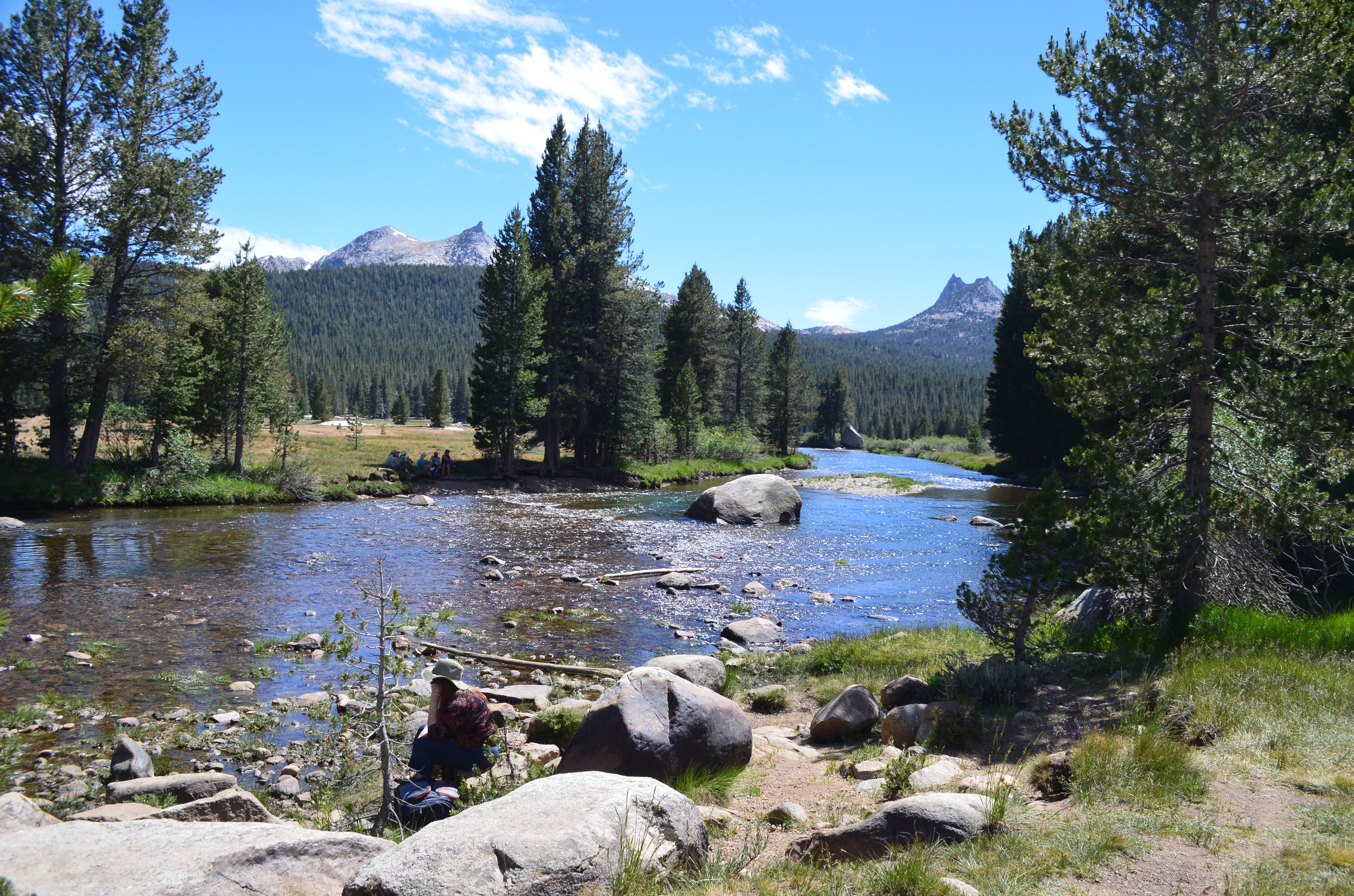
We finally made it to Yosemite and entered on the eastern side of the park near Tuolumne (pronounced “to-all-lum-ee”) Meadows. Most visitors never tour this side of the park as the Tioga Pass is only open during the summer and early fall.
Tuolumne Meadows
Located in the High Sierra at 8,600 feet, Tuolumne Meadows feels quite different from the rest of the park. It is exactly what it says – a lush, green sub-alpine meadow with the Tuolumne River running through it.
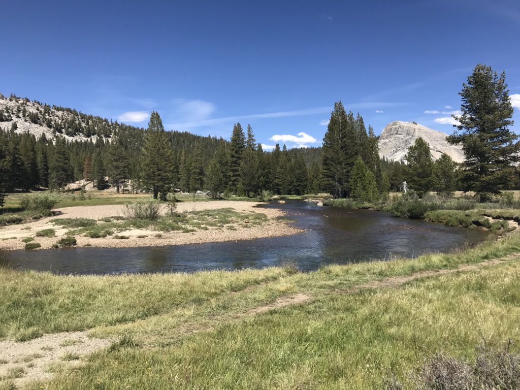
Several hikes start from the Tuolumne Meadows Visitor Center. We chose the easier 2-mile Soda Springs hike instead of the Lembert Dome hike.
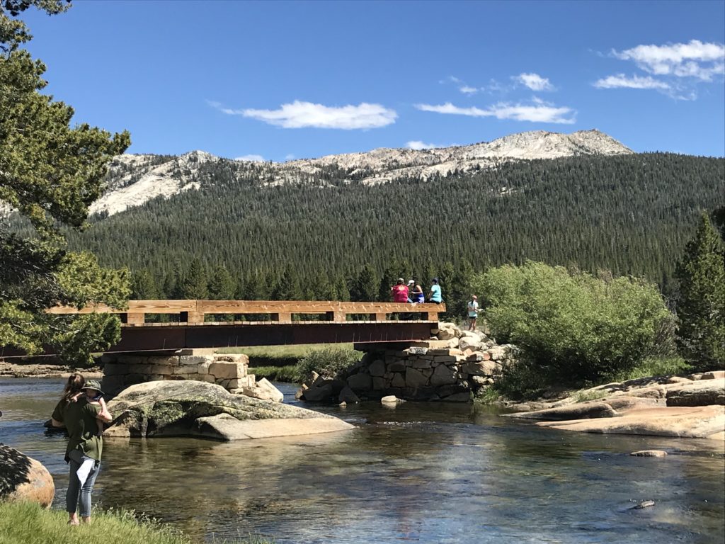
After crossing the river, a miniature log cabin stood alone in the distance. Homesteader Jean Baptiste Lembert enclosed the Soda Springs in 1889 to protect them from grazing sheep and livestock.
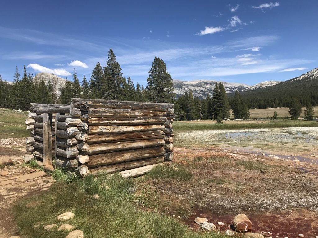
Inside the structure, mineral water bubbled up (like a carbonated soda) out of the ground. Scientists can’t exactly explain the phenomenon but it’s been documented for centuries. Although the water is pure – coming straight out of the ground, it pools into surrounding red dirt. Imagine our surprise when a hiker came up behind us with a water scoop and drank some of it. He reported that it tasted good and offered us a sip. Needless to say, we politely declined.
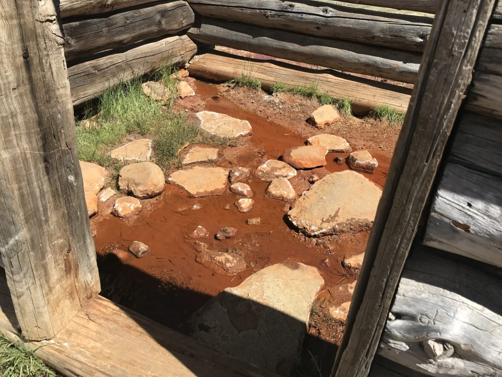
It was in this area that a young John Muir worked as sheep herder in 1869. Later, the famous naturalist served as the Sierra Club’s first president and lobbied for Yosemite’s National Park status and protections.
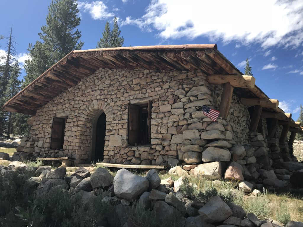
Also on trail lies the Parsons Memorial Lodge. Built in 1915 by the Sierra Club, the stone structure served as its headquarters and library. Edward Taylor Parsons served as Sierra Club’s director and fought hard against the damming of the Tuolumne River. Unfortunately, the O’Shaughnessey Dam was built, which flooded Yosemite’s Hetch Hetchy Valley in order to provide drinking water for San Francisco.
Tenaya Lake
Continuing on the Tioga Pass, we stopped at Tenaya Lake. I wanted to hike the 2-mile loop around the lake but was vetoed by the rest of the family. After all, we had driven over 300 miles from Big Bear that same day.
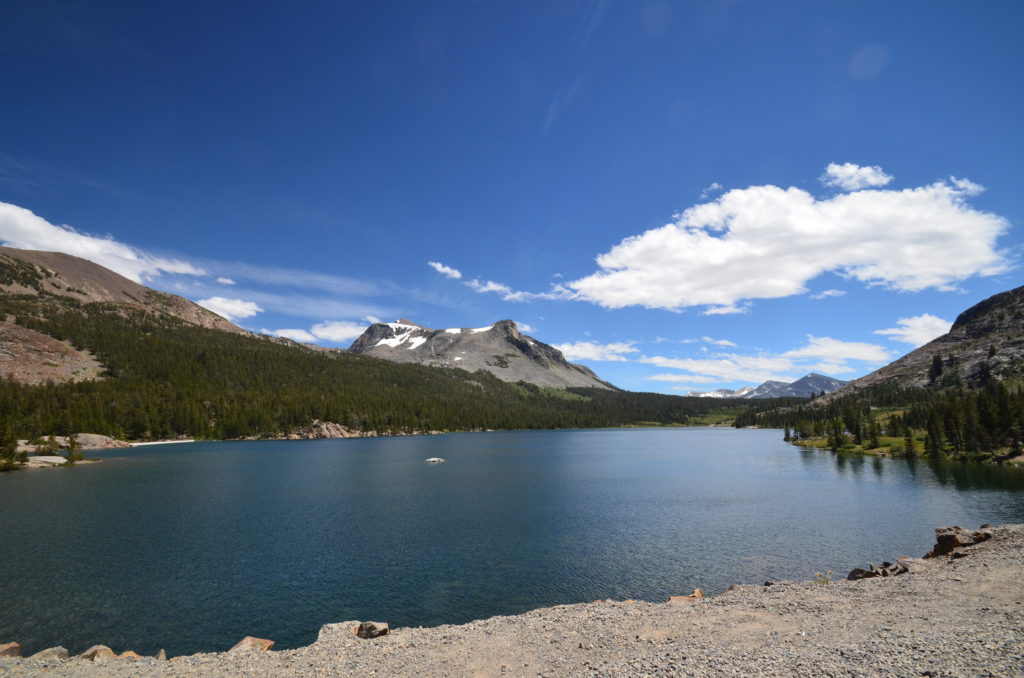
However, we did stop for a few minutes and sat on the rocks. Surrounded by trees and mountains, the oblong-shaped lake offered a serene bit of calm to our day. Although not crowded, a few swimmers braved the cold water while several fishermen cast their rods in the alpine lake.
Olmstead Point
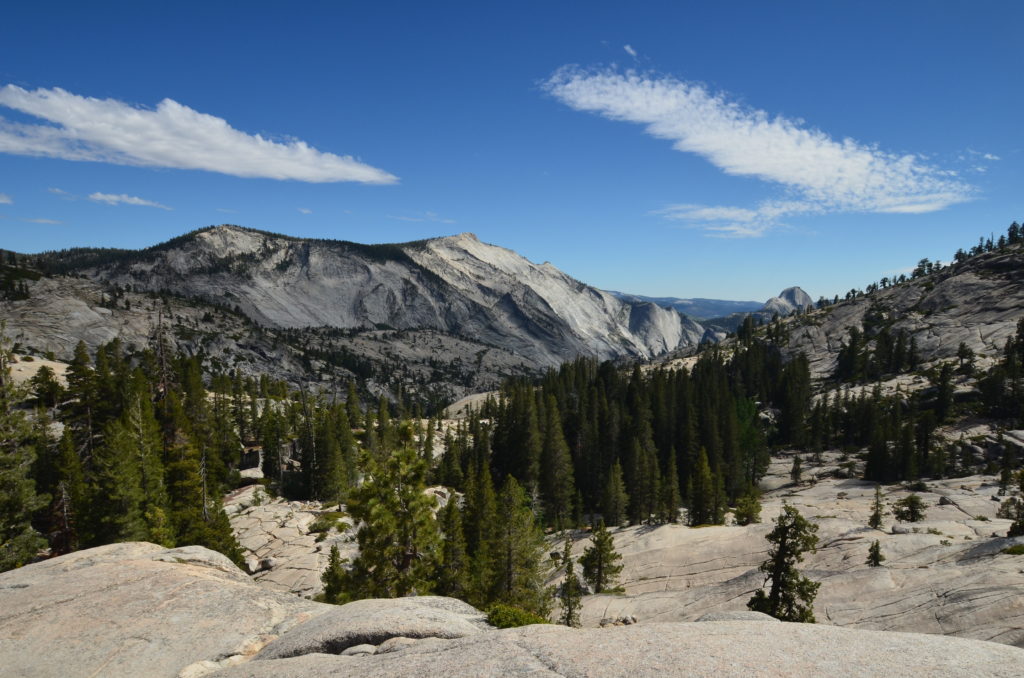
Another must-see stop on the Tioga Road is Olmsted Point. From here, visitors can see the northern side of Half Dome located down in Yosemite Valley.
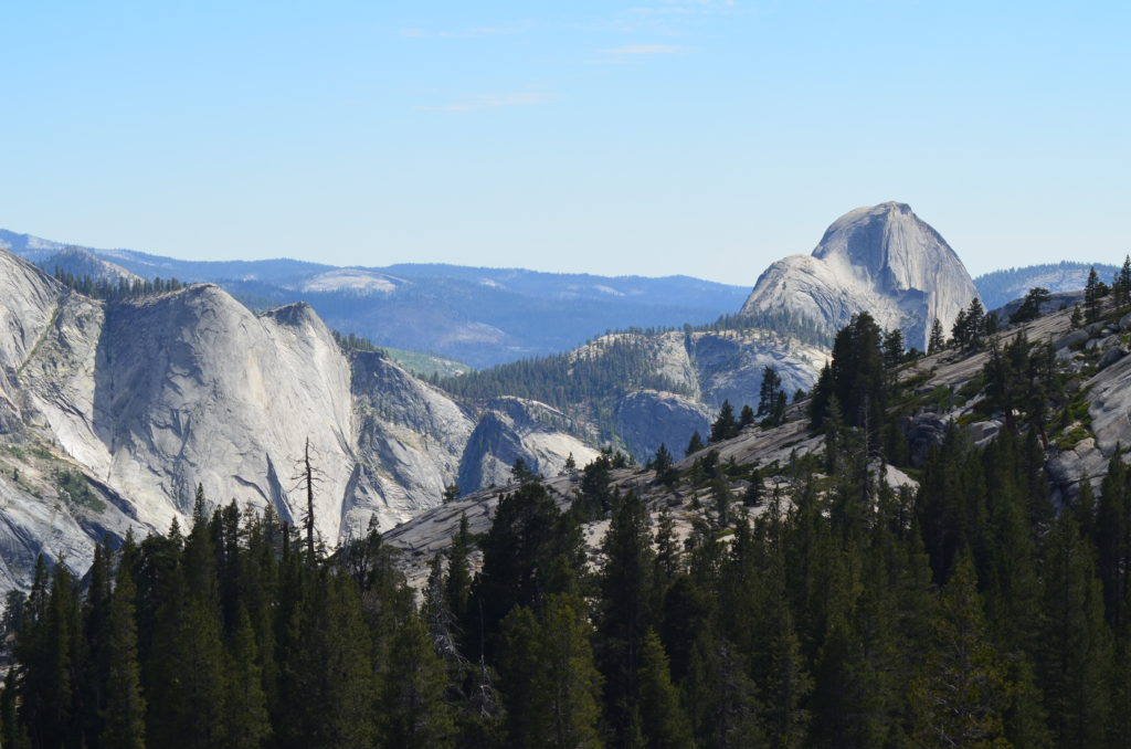
Much like a moonscape, we walked along the granite rocks. Large cracks from the glaciation process (according to the placard) allow enough space for vegetation to grow. You can see in the photo the size of the cracks in relation to the people at the top of the peak.
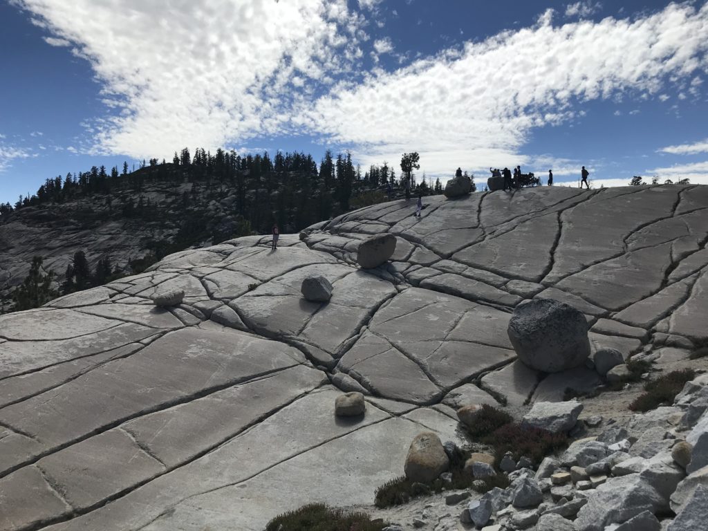
Named after Frederick Law Olmsted, the designer of NYC’s Central Park, and his son Frederick Law Olmsted, Jr, we learned the duo played major roles in conservation. The elder Olmsted proposed placing Mariposa Grove and Yosemite Valley under state government protection in 1865 and his son wrote much of the language for the National Parks Act which passed in 1916.
We jumped back in the car and headed to our hotel in the Yosemite Valley.
