We met my husband’s family at Big Bear Lake, CA over July 4th. From there we planned to extend our trip to Yosemite National Park, then down to Kings Canyon and Sequoia National Parks before heading back to Los Angeles for the return flight. Our longest driving day would be over 300 miles from Big Bear to Yosemite and we weren’t looking forward to it. However, my brother-in-law who lives in L.A., recommended we take the more scenic route on California Highway 395 up to Yosemite’s eastern entrance.
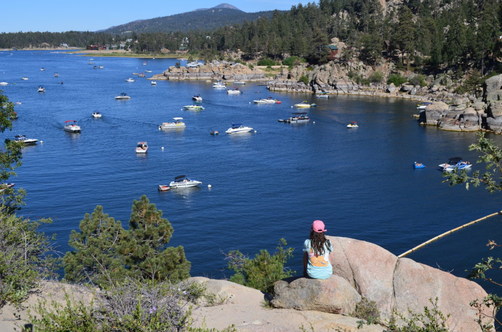
Big Bear Lake, CA
Located high in the San Bernardino Mountains a few hours east of Los Angeles, Big Bear Lake is primarily known for snow skiing. However, the summer offers a respite from the California heat with boating, hiking and other lake activities. After four days of family fun, we departed for Yosemite.
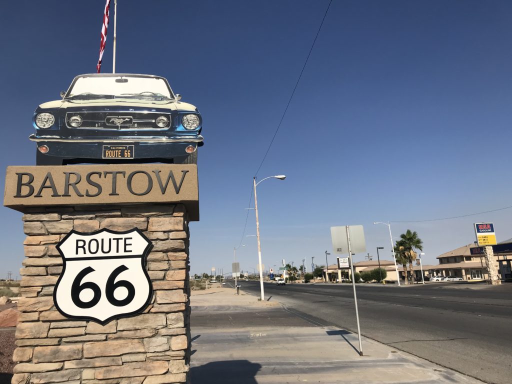
Barstow
Surprisingly, the drive from Big Bear to Mono Lake along California 395 surpassed our expectations. Within 60 miles of leaving Big Bear, we descended 4,500 feet while crossing a portion of the Mojave Desert and stopping for gas in Barstow on Route 66. Remember the fictional town of Radiator Springs in Pixar’s “Cars” movies? That’s what Barstow felt like to me except it’s also on I-40, which ironically led to Route 66’s demise. With no mountains in sight, the vast flat expanse felt worlds away from Big Bear.
Pearsonville, Manzanar and Big Pine
Soon we turned north onto US 395. In the ghost town of Pearsonville, once known as “The Hubcap Capital of the World,” we searched in vain for the Uniroyal Girl. As we drove on, the scenery continued to change. With the Sequoia National Forest to our left and Death Valley in the distance on our right, the topography was a juxtaposition of all sorts.
Due to time constraints, we didn’t have time to stop at Manzanar National Historic Site but it is worth noting here. During WWII, Executive Order 9066 forced over 100,000 Japanese Americans to relocate among 10 internment camps. Manzanar was one of these. The original buildings have been demolished, but the NPS offers a film, a reconstructed barrack and various artifacts.
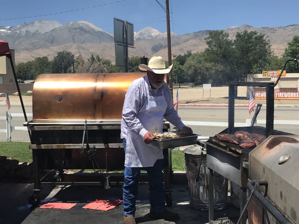
No journey along Hwy 395 is complete without a stop at Copper Top BBQ. Voted as Yelp’s #1 restaurant in the U.S., the simple outdoor restaurant provides delicious BBQ until they run out. We feasted on pulled pork sandwiches and smoked ribs while admiring the Sierra Nevadas in the distance.
Mono Lake
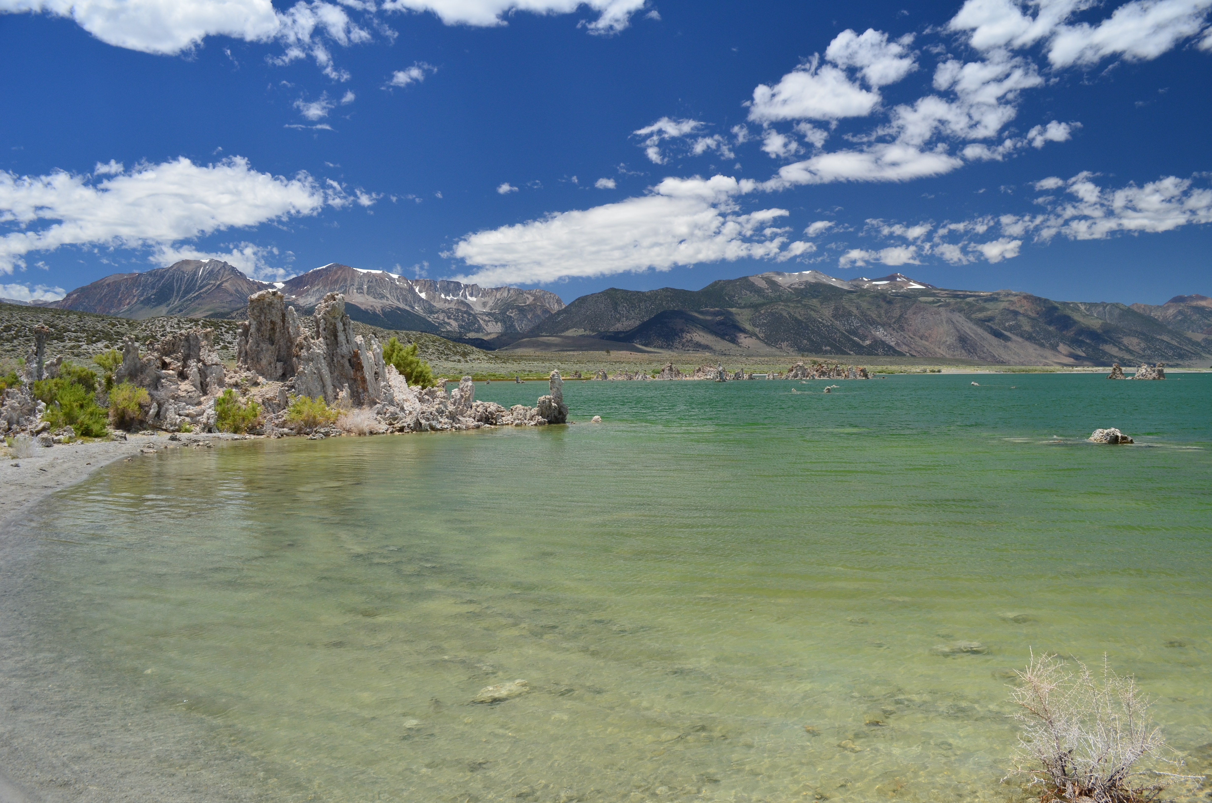
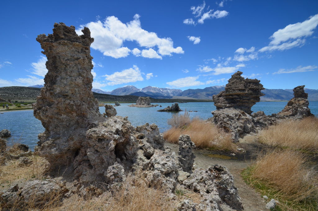
The pinnacle of the Highway 395 drive by far was Mono Lake. Pronounced “Mon-Oh,” it is known as one of the oldest lakes – over one million years old. And with no outlet, it is saltier than the ocean. But what makes it highly unusual are limestone rock formations, called tufas, that jut up out of the ground like castle towers. I don’t claim to understand it, but tufas form when calcium mixes with the carbonates in lake water.
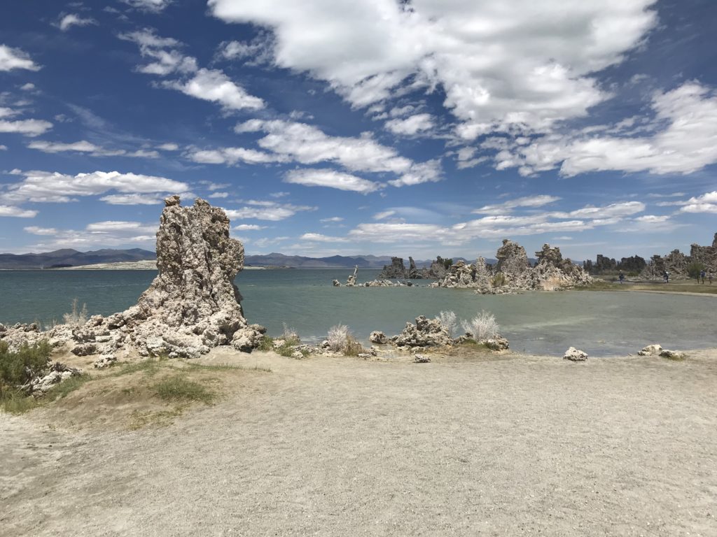
We drove to the southern end of the lake to South Tufa where a larger concentration of the towers appear. From the parking lot, we couldn’t see them and one daughter threatened to wait in the car. After some cajoling, we all took the short hike to the turquoise-blue lake. Soon, we saw the tufa towers (some as high as 25 feet) standing proudly in the distance. It was as if we were on the moon and it had a lake – it was that surreal.
The loop is self guided and placards explained the lake’s history. Normally, tufas occur under the water’s surface. In 1941, Los Angeles began diverting water for its water supply. Over time, the lake dropped 45 vertical feet, exposing the tufa formations and damaging the ecological system.
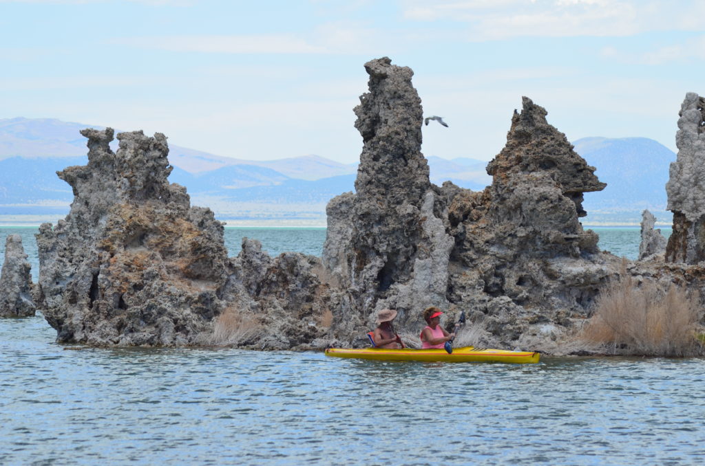
Through countless preservation efforts, government officials reached an agreement where lake levels will rise and restore much of Mono Lake’s natural habitats. But the process will take many years and the lake will only rise to 1963 levels.
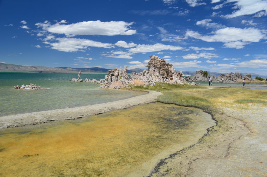
Additionally, alkali flies were everywhere. But instead of being a nuisance, they don’t bite and they stay low to the ground. They hover together in black patches all over the shoreline. When you step near a black patch, they fly a few inches off the ground and re-congregate.
We spent about 30 – 45 minutes enjoying the lake before departing.
Just 13 miles away, we entered Yosemite National Park’s eastern entrance.
