We decided to spend the beautiful and sunny January (pandemic) day exploring waterfalls. Since Rabun County in Northeast Georgia boasts at least 17 waterfalls, it made sense to head up that way.
Tallulah Gorge State Park
The logical first place to start was Tallulah Gorge State Park. Not only does it boast multiple waterfalls, but also a 900-foot canyon stretching 2 miles. The area gained attention in 1970 when tightrope walker Karl Wallenda crossed the gorge in 20 minutes, complete with two handstands!
North & South Rim Trails
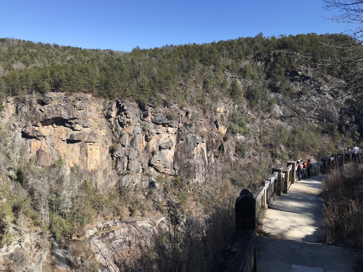
Choosing the 2.5-mile North & South Rim Trails, we started next to the Jane Hurt Yarn Interpretive Center. Turning right, we soon reached overlooks 2 & 3 with views of L’Eau d’Or Falls.
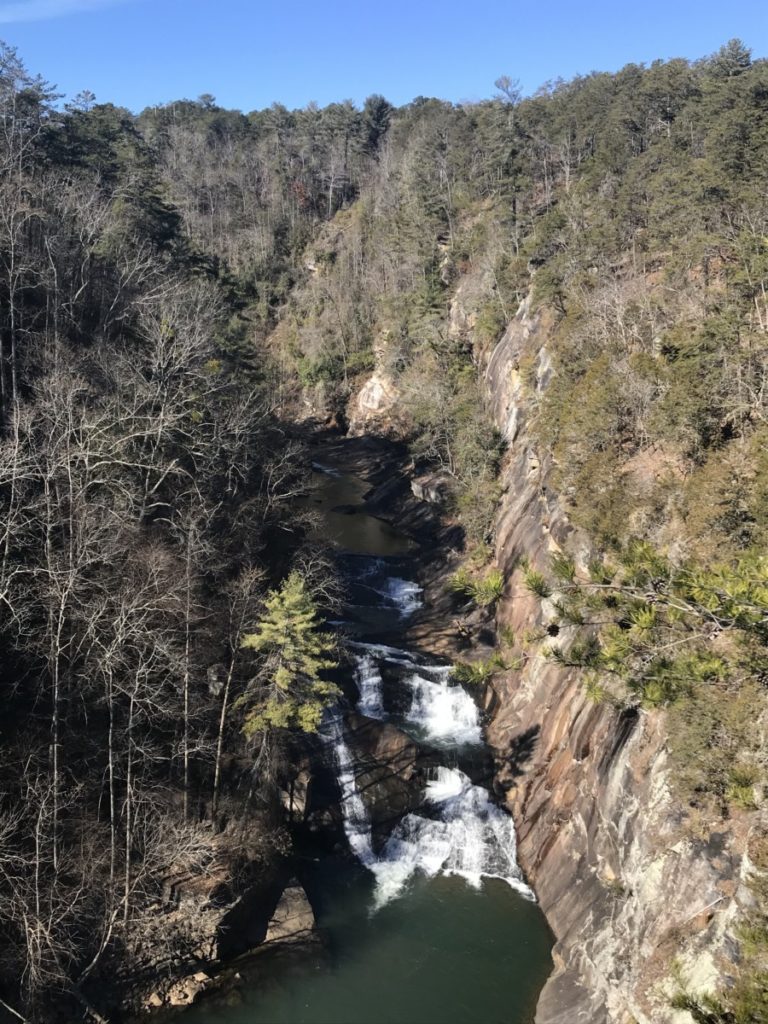
From Overlook 3, one could continue down to the stairs to the Suspension Bridge and hike the 2.0-miles Hurricane Falls Loop (more on that below). As we headed west to Overlooks 4 & 5, the trail became mulched and woodsy.
Soon water pouring out from a concrete dam greeted us. Although man-made, the water roaring down the side mesmerized us. On the dam’s other side, the tranquil Tallulah Lake offers boating, swimming, and picturesque picnic spots.
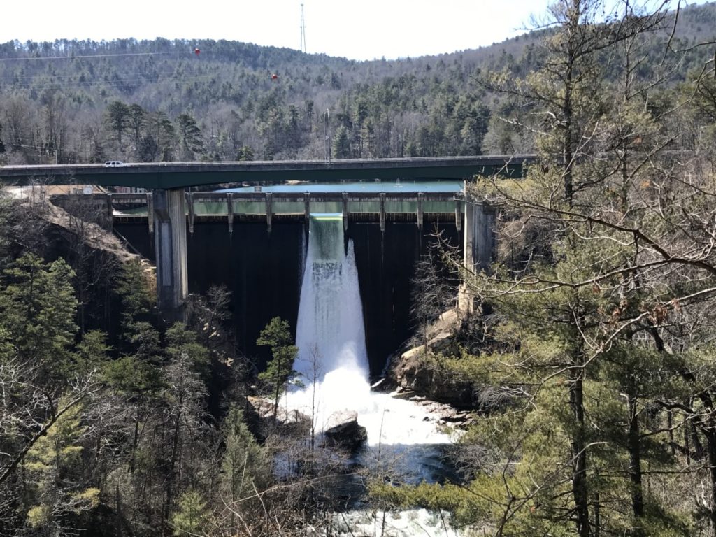
The trail gets a bit tricky here as you climb steps to the main road Hwy 441 and cross the bridge using the shoulder. On the other side of the gorge, take the staircase back down to pick up the trail.
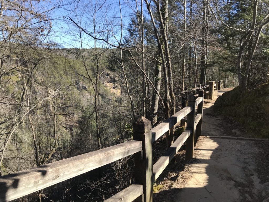
From this side, we could see some of the previous overlooks across the gorge, as well as Tempesta Falls. Although the path was fairly level, the depth of the gorge floor dropped from 350 feet near the Hwy 441 bridge to 600 feet at the trail’s end.
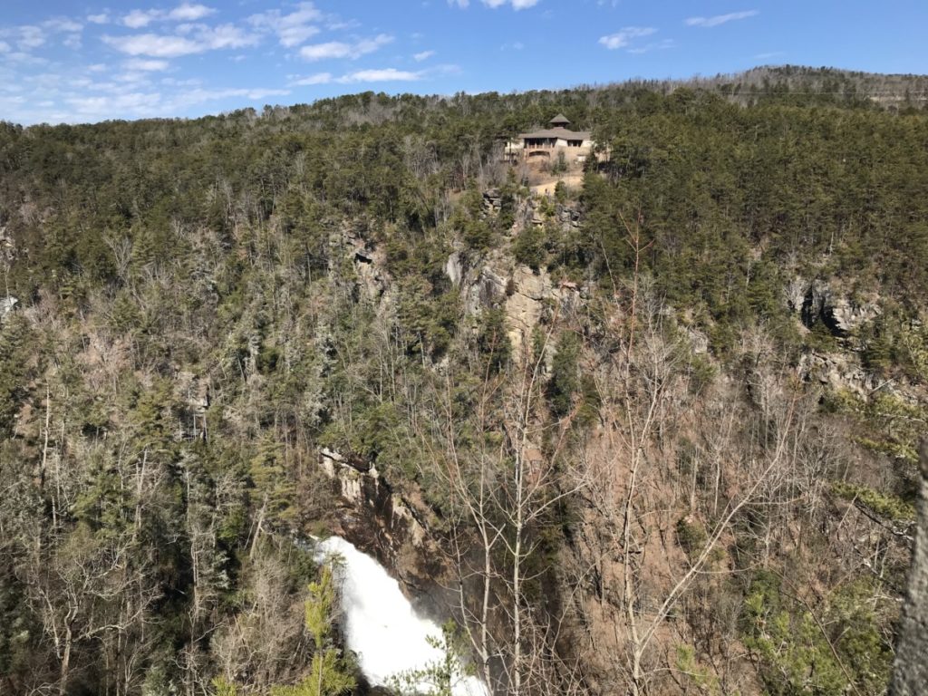
Our trail intersected with the Hurricane Falls trail and several people sat on benches taking in the views. Soon, the interpretive center appeared in the distance and gave us more of an idea of the gorge’s depth. Overlooks 8 & 9 showcase Hurricane and Oceana falls in the distance. At Overlook 10, Caledonia Cascade Falls drops 600 feet. Because it’s so far away, I had to really look to see it almost hidden in the rocks.
At this point, we backtracked to the interpretive center. We realized later that we missed Overlook 1 on the eastern side of the interpretive center. Because of this, I came back a few weeks later.
Hurricane Falls Trail
The 2.0-mile Hurrance Falls Loop is another popular trail. This encompasses over 1,000 metal stairs and crosses the river via a suspension bridge hovering just 80 feet above the gorge floor. Tallulah Gorge prohibits dogs on this trail due to the metal stairs. Once on the South Rim, hikers can join the rim trail back to the interpretive center.
A few weeks after hiking the North and South Rim trails, I decided to do this trail. From Overlook 3, I continued down 200 stairs to the suspension bridge. Because of the pandemic, traffic only goes in one direction from the North Rim to the South Rim. Fortunately, there were few people on the bridge, which was a good thing as it swayed considerably. I can’t imagine what it must be like in the summer with lots of crowds. Water swirled underneath me and I felt part of the waterfall. This is the only way to really get close to any of the waterfalls without a permit.
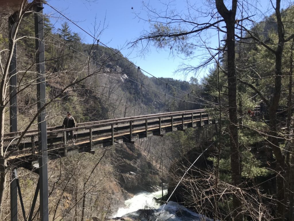
On the other side of the bridge, I had two choices. I could continue to the South Rim or I could descend another 300 stairs to the Hurricane Falls Platform. I can’t pass up a chance to see waterfalls, so I descended further into the gorge. At the platform, I turned to the left to watch the water roar down the rocks deeper into the canyon. The temperature felt cooler than on the rim above and I felt thankful I wore my fleece jacket.
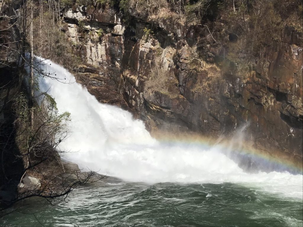
While I could have stayed longer, DH (dear hubby) was to meet me at the top of the North Rim. As I always say, “What goes up, must come down.” In this case, what goes down, must come up. I now had over 500 stairs to climb, but it was so worth it.
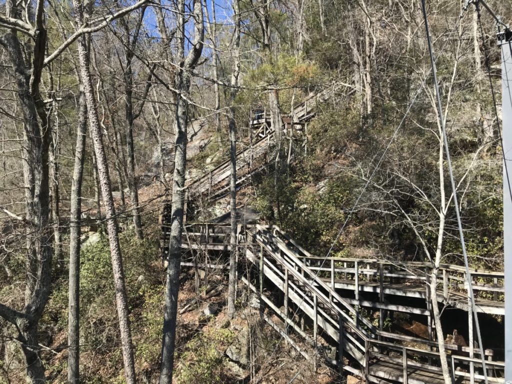
Climbing the stairs to the suspension bridge didn’t seem so bad. However, a sign indicated I wasn’t even halfway to the north rim. 347 steps more to go! Fortunately, I had glimpses through the trees of more waterfalls in the distance.
At the top, DH met me and we continued the loop along the South Rim, crossing Hwy 441 to the North Rim back to the Interpretive Center.
Inspiration Point Trail
As I mentioned before, I had missed Overlook 1 on the previous trip. We hiked past the interpretive center to Overlook 1A – a newer deck that gave us glimpses of Oceana Falls. About 0.25-miles later, we came to Overlook 1 where the Wallenda tower, leaning on its side, serves a constant reminder of Karl Wallenda’s legendary feat in 1970.
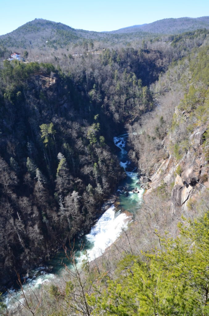
Another 0.25-miles ahead lay Inspiration Point. We continued uphill and I’m so glad we did. Here, we could take in the true depth of the gorge over 900 feet below us. Imagine tightrope walking over this!
Other Trails
Visitors can also hike the 2.5-mile Gorge Floor Trail, which requires a permit, limited to 100 per day. During the pandemic, Tallulah Gorge has stopped issuing permits for the Gorge Floor Trail. Mountain bikers can try out the 4-mile High Bluff Trail (permit only) or the 10-mile Stoneplace Trail.
Jane Hurt Yarn Interpretive Center
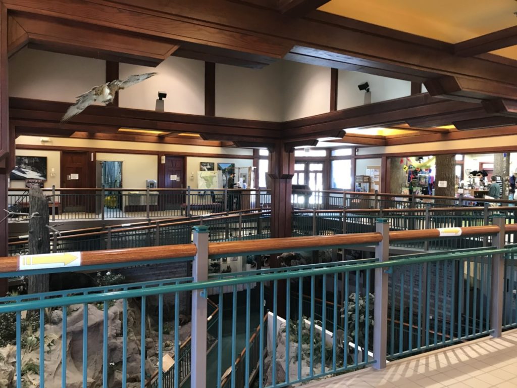
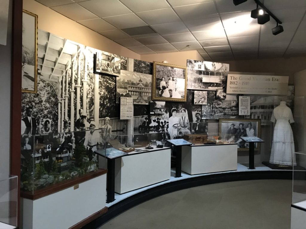
Stepping inside the two-story interpretive center, we learned about the area’s history. The town of Tallulah Falls boasted numerous hotels during peak of popularity around the 1900s. Once Georgia Power constructed the 5 lakes (Rabun, Seed, Yonah, Burton and Tallulah Falls) by damming the Tallulah River for hydro-electric power in 1913, tourism declined. That’s why the town leaders hired Karl Wallenda to cross the gorge on a tightrope. Interest in the area grew and in the 1990s, Georgia Power and Georgia State Parks partnered together to open this 2,600-acre park.
After we’d worked up an appetite, we drove across Hwy 441 to Tallulah Falls lake on the other side of the dam. We found numerous picnic tables and ate a picnic lunch.
Tallulah Gorge is one of the state’s most visited parks and fills to capacity quickly on weekends. Be sure to check their website here for more information and closures. Several times during the months of April and October, Georgia Power releases water from the dam at whitewater levels. They close the suspension bridge but allow for kayakers.
