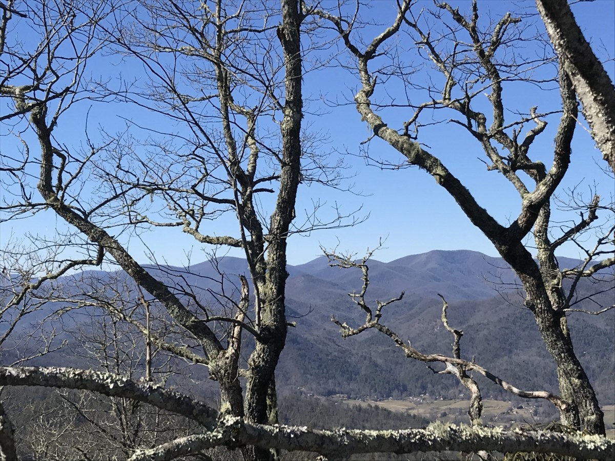
Located in northeast Georgia, Rabun County boasts 17 waterfalls. After spending time at nearby Tallulah Gorge State Park, we continued to the town of Clayton to hike Becky Branch Falls, part of the Warwoman Dell Recreation Area and Black Rock Mountain State Park.
Becky Branch Falls, Rabun County
Twice, we’ve looked for Becky Branch Falls and have gotten lost both times. Did I dare try once again? Since we were driving right through Clayton on the way to Black Rock Mountain, we decided to give it a whirl.
Hike the South had an excellent post about the Becky Branch/Martin Creek Falls loop which encompasses about 4 miles. Since we’d already hiked around Tallulah Gorge, Thing 2 and I decided just to do Becky Branch Falls at 0.6-miles round trip.
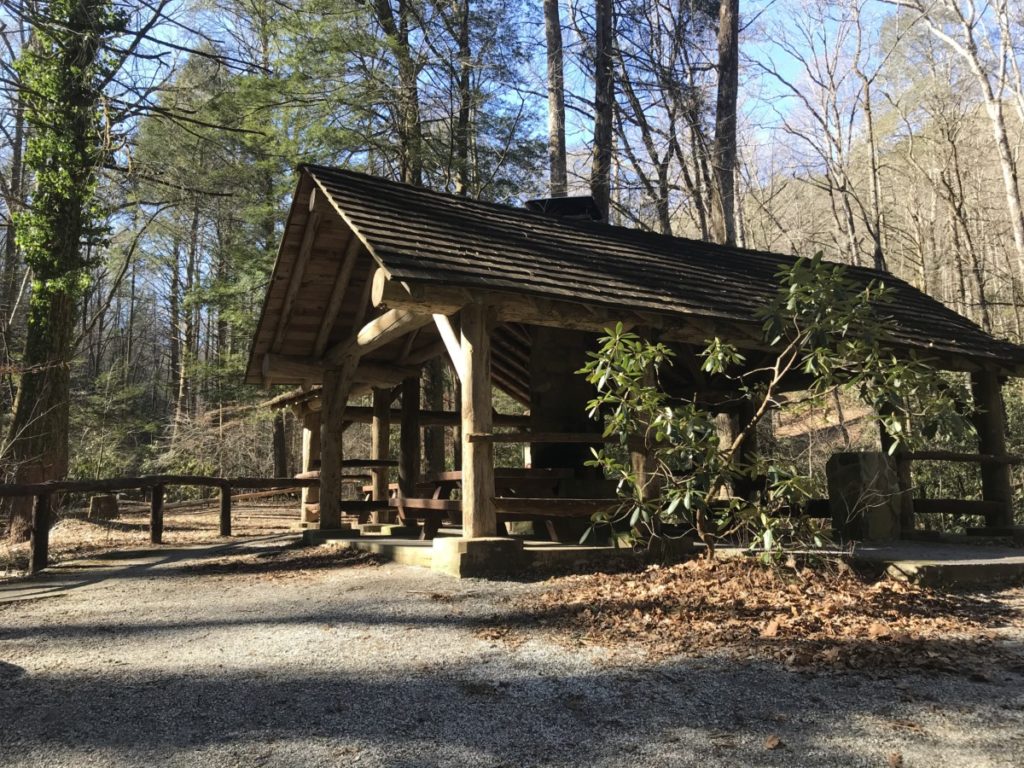
The directions I had were much better this time and we found parking at the Warwoman Dell Recreation Area located off Warwoman Road about five miles east of downtown Clayton. The area has two parking areas on a dirt road. We thought the five or six occupied slots were the only places so I drove up a bit further to turn around. That’s when we came to the second lot with about a dozen spaces, a large pavillion and a restroom.
Just past the restroom, a sign pointed to a trail that said Warwoman Ford 15 miles one direction and Rabun Bald 14.2 miles the other direction. This was not what we had bargained for! Turning around, we headed to the first parking lot. About halfway there, a trail started on the left. We asked some hikers and they confirmed we were now on the right path.
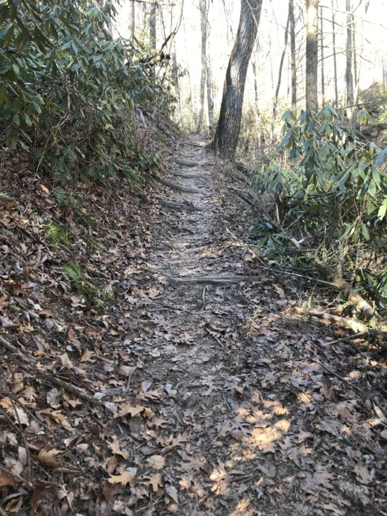
Although short, the trail climbed steeply and we noticed many hikers used walking sticks. Then, we came to Warwoman Road where we crossed over and picked up the trail on the other side. Shortly the falls came into view.
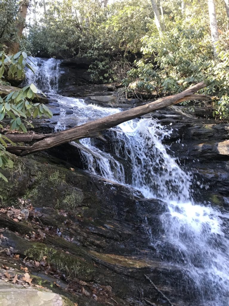
Maybe my picture doesn’t do it justice, but the rushing water felt peaceful. I could have sat down on a rock and spent the rest of the day there. A few minutes later, some hikers came up behind us and we had to get off the narrow path to let them by. To continue the trail, it looked like they had to risk getting wet to step on some stones crossing the creek. We decided to turn around and head to our next destination.
Black Rock Mountain State Park
Just north of Clayton, we ventured to Black Rock Mountain State Park. At an elevation of 3,360 feet, it is the highest state park in Georgia. This is not to be confused with Brasstown Bald (not a state park) which boasts Georgia’s highest mountain at 4,700 feet.
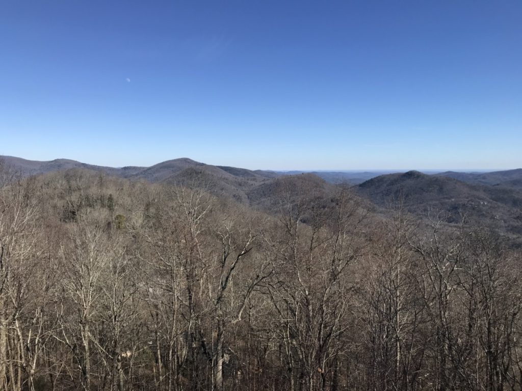
Turning left from the main road in Mountain City, we drove on Black Rock Parkway for about 2 miles until stopping at the Blue Ridge Overlook for breathtaking views. I bet it’s a popular spot during the fall foliage season.
Ada-Hi Falls Trail
About 0.2-mile later, we came to the visitor center at Black Rock Overlook and picked up a trail map. In keeping with our waterfall theme, we saw that the Ada-Hi falls Trail was a short hike at 0.25 miles. From the visitor center, the ranger told us it would be easier to drive, but we wanted to experience the outdoors. She pointed us to a shortcut path (Visitor Center Connector Trail) that led downhill to the Blue-Ridge Overlook.
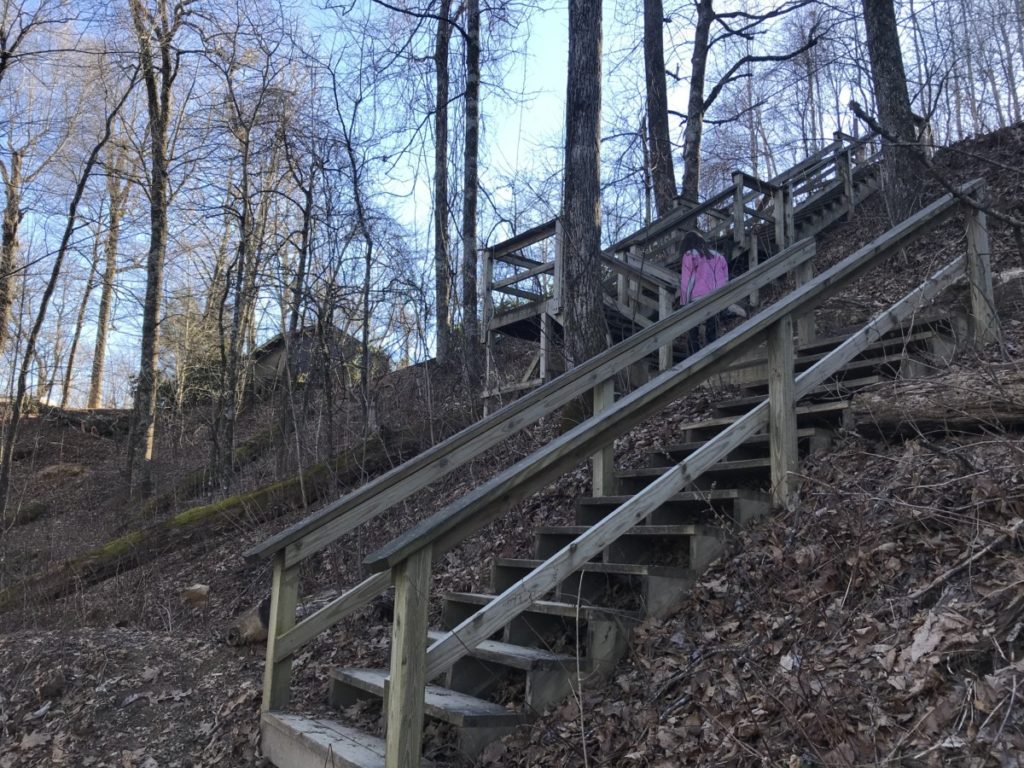
Crossing the road, we found where the connector trail picked up to the left of the overlook parking area. From there, we continued our descent on the green-blazed trail until it intersected with the Springhouse/Ada-Hi Falls trail. Turning right, we descended several stairs next to an amphitheater. On the other side of the amphitheater was the currently closed Trading Post. I’m assuming the area bustles with activity during the summer months with ranger programs.
After a short while, we found the trailhead saying Ada-Hi Falls 0.25. What? I thought we had been hiking the Ada-Hi Falls trail. Apparently not. In retrospect, I guess we could have parked here at the Trading Post. Down, down, down we went. Although only around 3:15 in the afternoon, the shadows grew long and the temperature dropped.
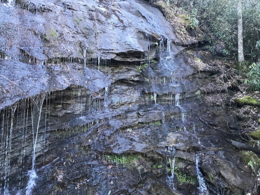
After a couple of sets of wooden stairs, we rounded the bend and came to Ada-Hi Falls. It wasn’t the rushing roar of water like Becky Branch Falls, but it was beautiful no less. The water dripped in multiple areas all along the rocks. We sat at a bench, the only people on the trail. I later read that in the hot summer months, the falls barely trickle so I think we hit it at the perfect time.
Of course, we had to climb back up. Up the sets of stairs, up the hill, past the amphitheater, up more steps to the turnoff to the viewpoint. From here, it wasn’t so tough as we came back to the parking area. By then, many cars had left as the sun started going down. From here, at the Black Rock Overlook, we could see downtown Clayton below us.
The park features other trails including the 7.2-mile backcountry James Edmonds Trail and the 0.85-mile Black Rock Lake Trail. If I come back, I want to hike the 2.2-mile Tennessee Rock Trail which straddles the Eastern Continental Divide for a short while and includes views of Brasstown Bald on clear days. For more information about this park, click here.
