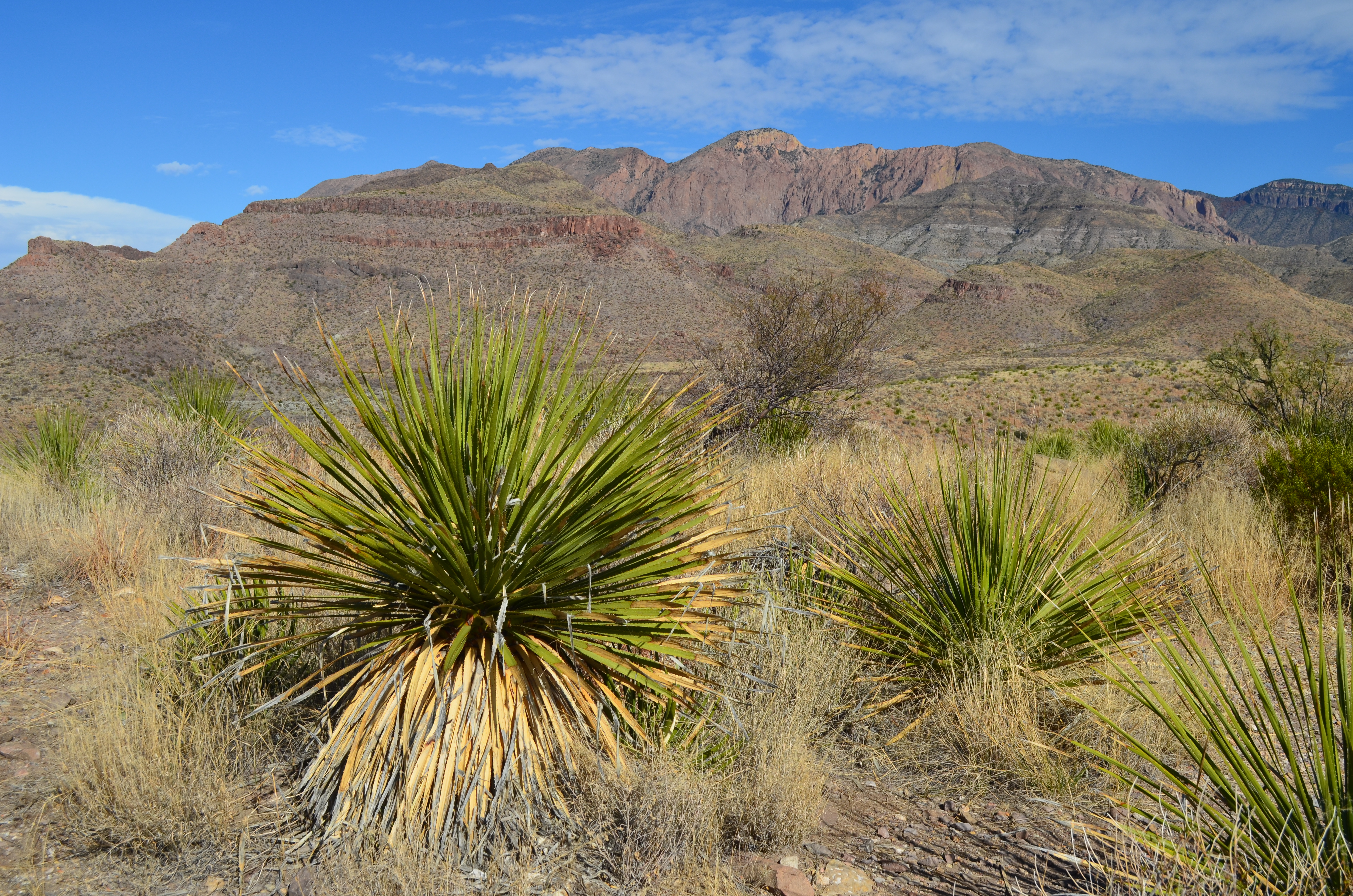
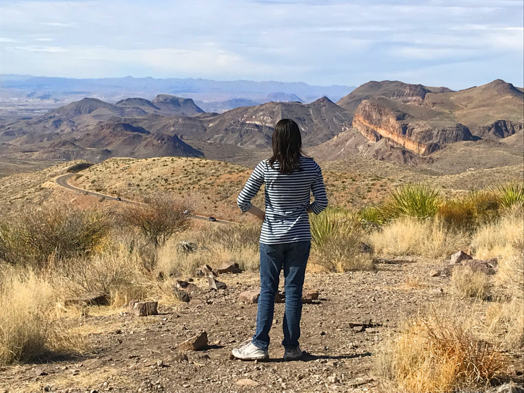
Another “must-do” activity is the 30-mile Ross Maxwell Scenic Drive. Named after the first superintendent of the park, the road takes visitors along the western side of the park to the Rio Grande.
Since we had gotten most of our hiking completed, the drive was a nice way to rest and stop at several historic sites. We learned that large ranches dotted the area before the government began purchasing the land for a national park. We passed the Sam Nail ranch which only consisted of one wall and later we went to the Homer Wilson ranch overlook.
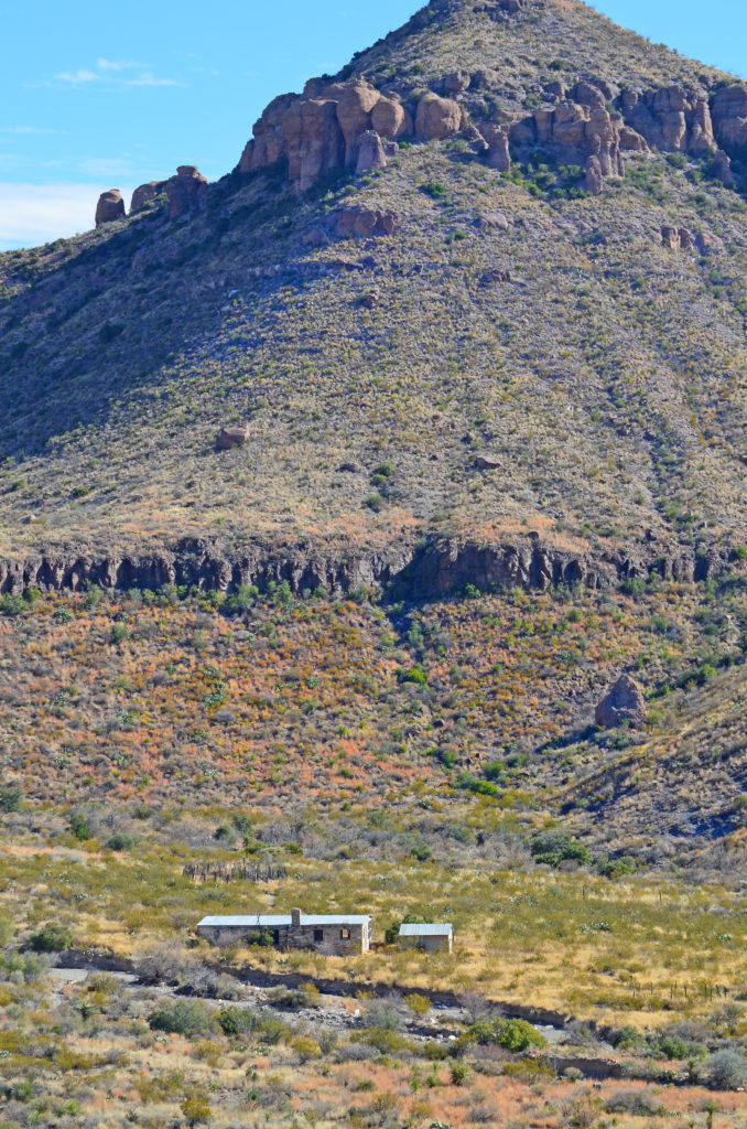
The Wilson ranch was also called the Blue Creek ranch and encompassed 28,000 acres before it was sold in 1942. A secondary house still remains standing. An easy 1.4-mile (round-trip) trail leads to the structure.
Many trails also begin along the parkway including Chimneys, the Burro Mesa Pour-off and Tuff Canyon. Because we had done a good bit of hiking already, we just drove by and enjoyed the amazing scenery.
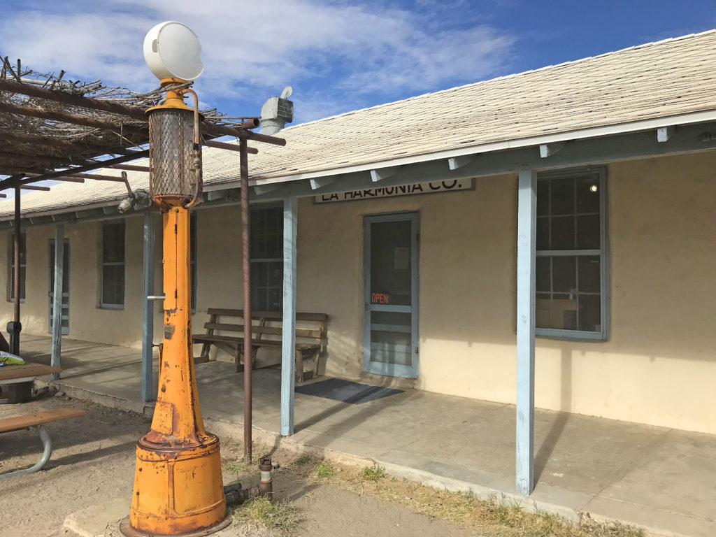
Towards the end of the drive lies the historic town of Castolon. The tiny farming community began around the 1900’s and later served as Camp Santa Helena for the US army from 1916 – 1920. After the Mexican Revolution settled down, the barracks became home to La Harmonica Company Store. Today it sells snacks and sodas and is next to a small visitor center.
However, the grand finale of the scenic drive was just a few miles away. Soon we drove up to Santa Elena Canyon with its 1,500 foot limestone cliffs separated by the Rio Grande. It’s a popular place to do a rafting trip in the warmer months.
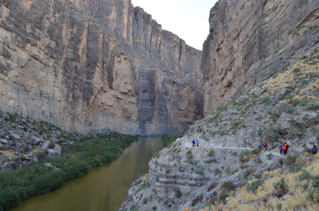
On the other side of the river was Mexico! People talk about building a wall between Mexico and the United States. This was a natural-made wall and nobody was swimming over from that part of Mexico. Pictures don’t do the area justice but from the picture above, you can see the size of the cliffs in relation to the people on the path.
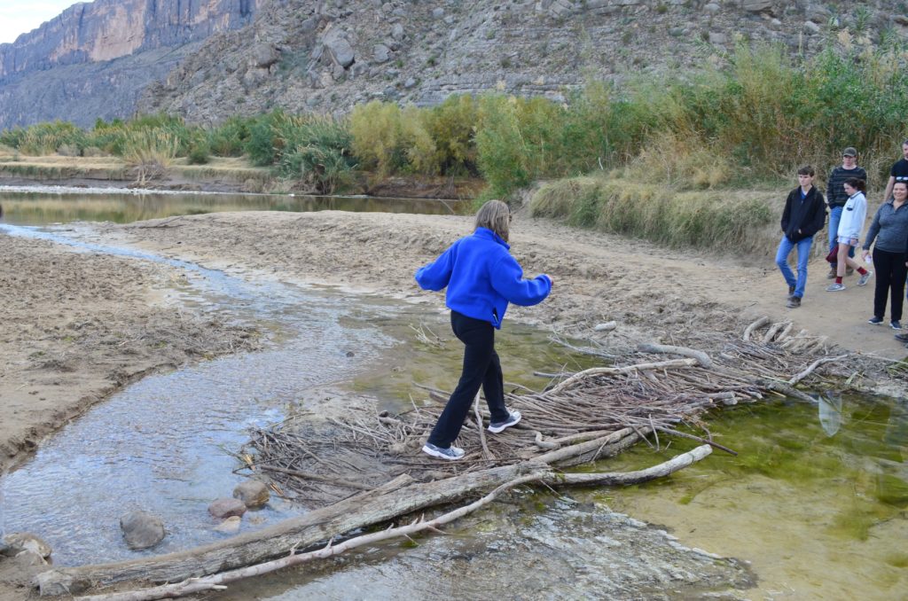
Fortunately the water levels over Terlingua Creek were low and we crossed a stick bridge to the Santa Elena Canyon trail.
The 1.7-mile (round-trip) trail rose to a nice paved vantage point then descended along the Rio Grande further into the canyon. Peaceful, scenic and quiet. That’s what I was looking for on this trip and I found it within the canyon walls.
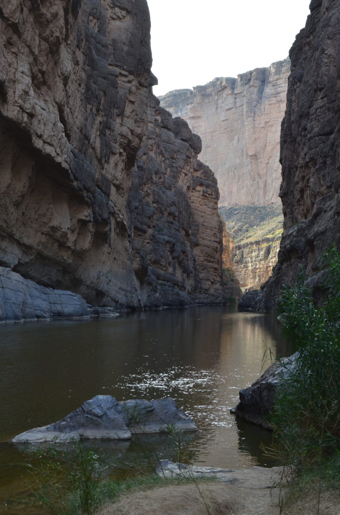
It was late in the day and the canyon walls blocked most of the sunlight. We didn’t go all the way to the trail’s end since we wanted to exit the park well before dusk. We took the shorter Maverick Road back to Terlingua. Even though it was a 14-mile dirt road, the road wasn’t too bumpy.
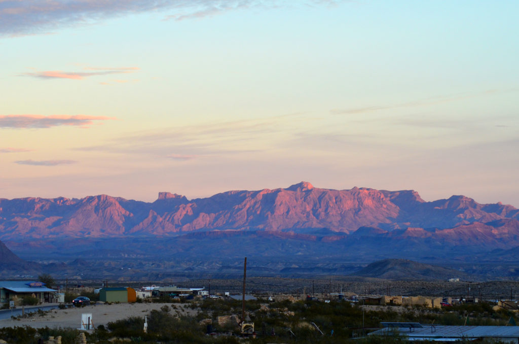
We stopped at the Starlight Diner at 5:15 pm. They had just seated the first round so we were number 2 on the wait list. We went next door to the gift shop. In the distance a beautiful sunset loomed with stretches of pink, orange and yellow. It turns out the porch of the Starlight is famous for the sunset so thankfully we weren’t eating as we would have missed it.
Around 6:15, we were seated and had an enjoyable dinner. We drove home and went to bed. Since we had a little food in the cooler, DH left the cooler outside in the cold. About 10:30 there was a big ruckus on the deck and DH said it was a pack of wild boars. He said they were huge and had hair coming out of them. The next morning, we realized they had smelled the food in the cooler. They had tipped it over and eaten the banana, sandwich and hummus!
On our last day, we explored Balanced Rock and the Boquillas Canyon area of the park.
