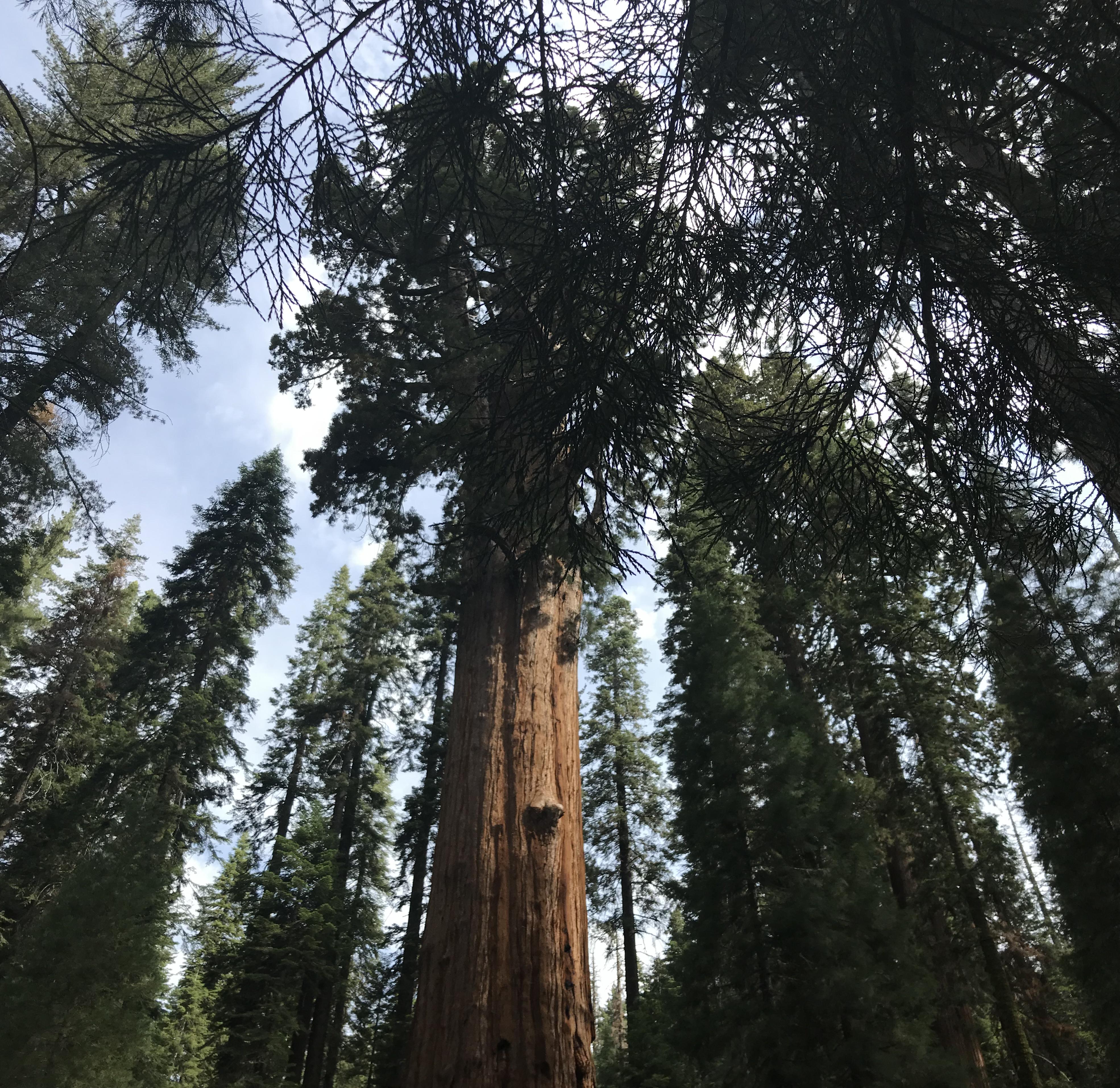
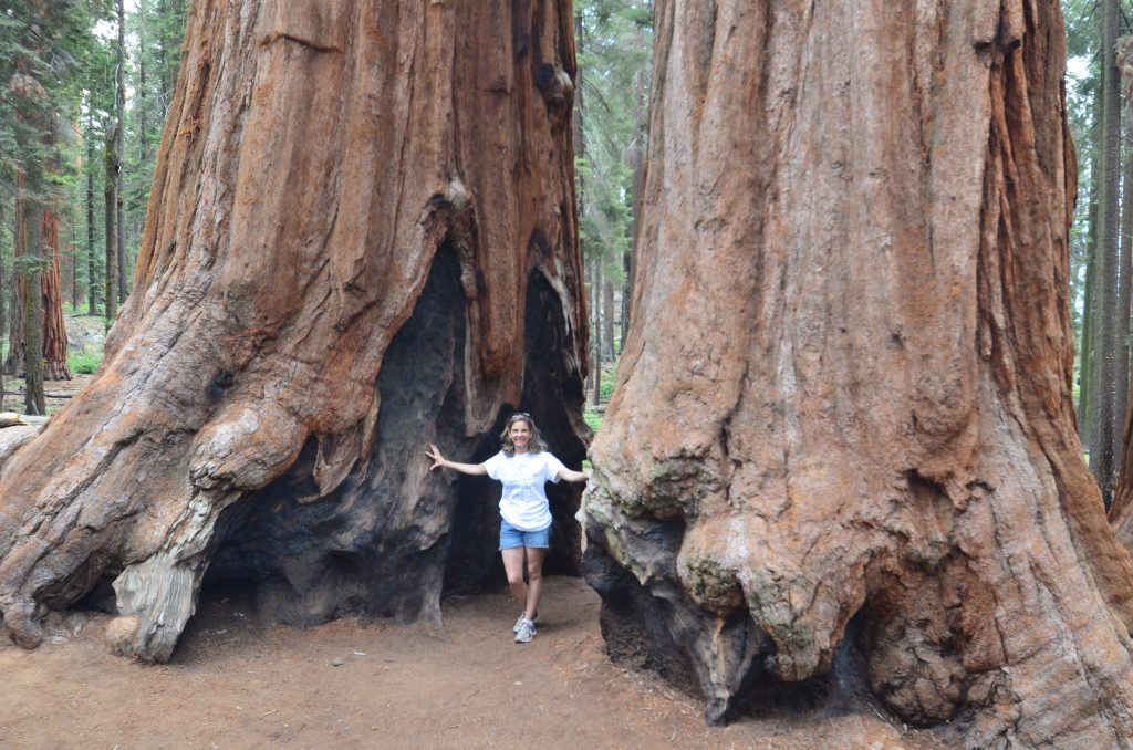
Sequoia National Park is the country’s second national park. Established a week before Yosemite NP in 1890, the park provides protection for its many sequoia trees from the logging industry. These trees only grow in elevations between 5,000 – 7,000 feet and because they are very hardy, can live up to 3,000 years.
Coming from Grant Grove in Kings Canyon NP, we drove along the General’s Highway past the Wuksachi Lodge to the Lodgepole Visitor Center. I can’t imagine what it was like before this road was built in 1926. Because the road is curvy and crowded in the summer months, the park offers a free shuttle service from the visitor center to the Sherman Tree and Giant Forest Museum.
General Sherman Tree
The largest sequoia in the world stands proudly at 275 feet in the Giant Forest grove. We took the 0.5-mile shady hike to see the General Sherman Tree. Along the way we passed other large trees – some with gashes in them. It turns out those gashes are fire scars. To help sequoias regenerate, prescribed fires are routinely set by the park service.
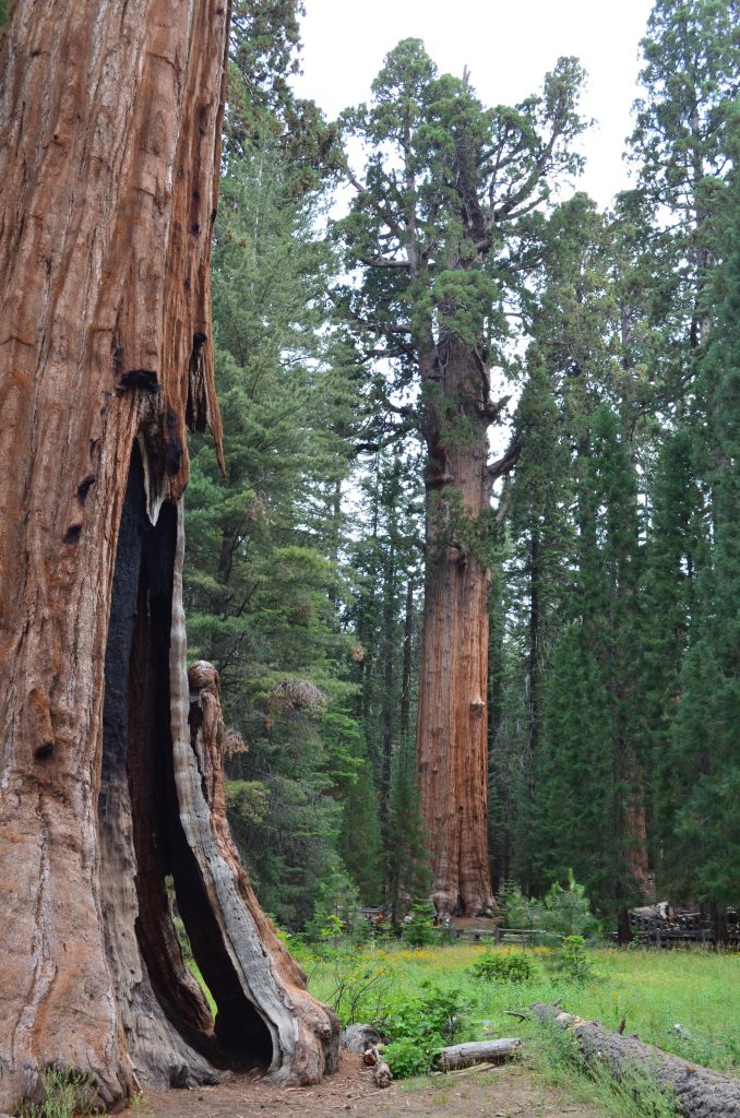
It’s hard to really appreciate the height of these trees since they’re so far above the ground – and there are so many of them. The Giant Forest alone boasts 5 of the 10 largest sequoias.
During the early to mid-1900s, the park service authorized 200 man-made structures in the Giant Forest; including cabins, a lodge, a gas station, and a post office. Congestion became a problem in the Giant Forest Village. Later, several scientific reports noted damage to the sequoias from the buildings, cars and people in the area. This prompted the park to restore the Giant Forest to its natural state. By the end of the century, every building had been torn down and the village marketplace was converted to the Giant Trees Museum.
Moro Rock
Sequoia NP controls summer traffic by closing the road to Moro Rock and Crescent Meadow on the weekends. On those dates, travel is only by free shuttle bus from the Giant Forest Museum.
Moro Rock is a granite outcropping that gives visitors views of the Kaweah River Gorge. Although the hike is only 0.25-mile, it ascends 300 feet.
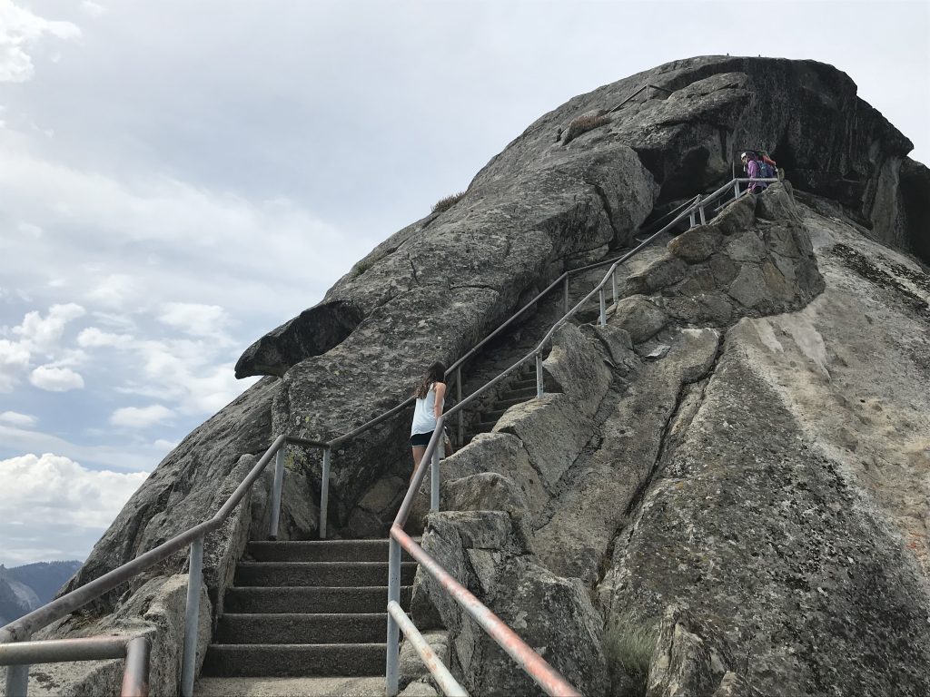
The original path to the top consisted of wooden stairs ascending straight up the northern side. Fortunately in 1931, the CCC replaced it. The stone path contains almost 400 stairs but integrates itself into the rock following along the natural nooks and ledges – so much so that the stairway is listed in the National Register of Historic Places.
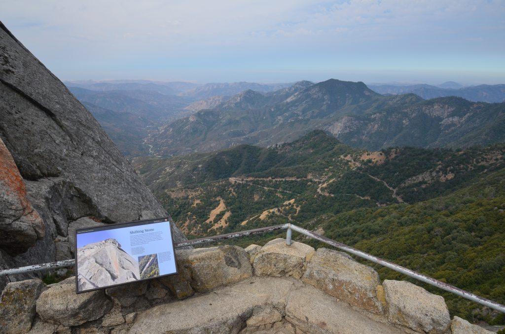
From the top, we had panoramic views of the Generals Highway twisting below, as well as the top of the Giant Forest and the Great Western Divide in the distance.
Once back on the road, we paused at Tunnel Log. The giant sequoia fell in 1937 and a 17 foot-wide tunnel allows cars to drive through it.
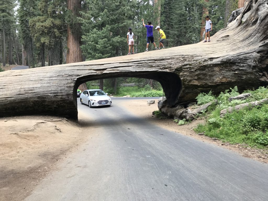
Many people confuse Tunnel Log with the famous Wawona Tunnel Tree. This was a live sequoia located in Yosemite’s Mariposa Grove. To gain tourists, a tunnel was cut in 1881 so that a wagon, and later a vehicle, could drive through. Unfortunately it fell in a snowstorm in 1969. Another famous tunnel tree was Pioneer Tunnel Tree in Calaveras Big Trees State Park, CA. It too, fell during a storm in 2017.
Parker Group
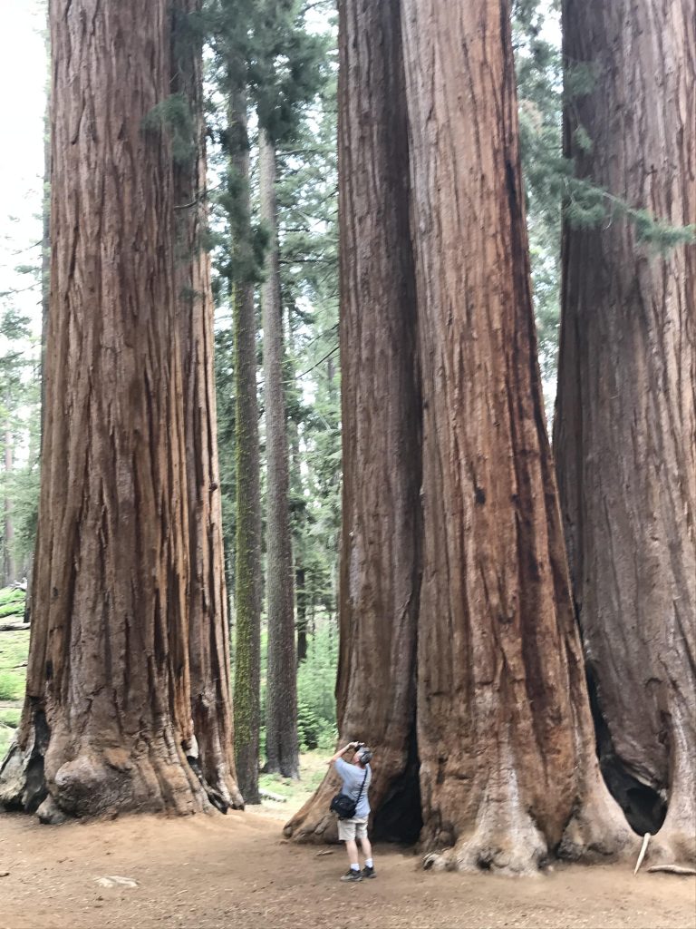
Before reaching Crescent Meadow, we saw a group of eight trees called the Parker Group. Named after eight members of the family of Captain James, “Acting Park Superintendent” from 1893-1894.
Crescent Meadow
At the end of the road lies Crescent Meadow where a large, grassy field surrounded by trees on every side awaited us. It would be the perfect place to have a picnic but we still had to get the tire fixed in Visalia before heading to LA that night.

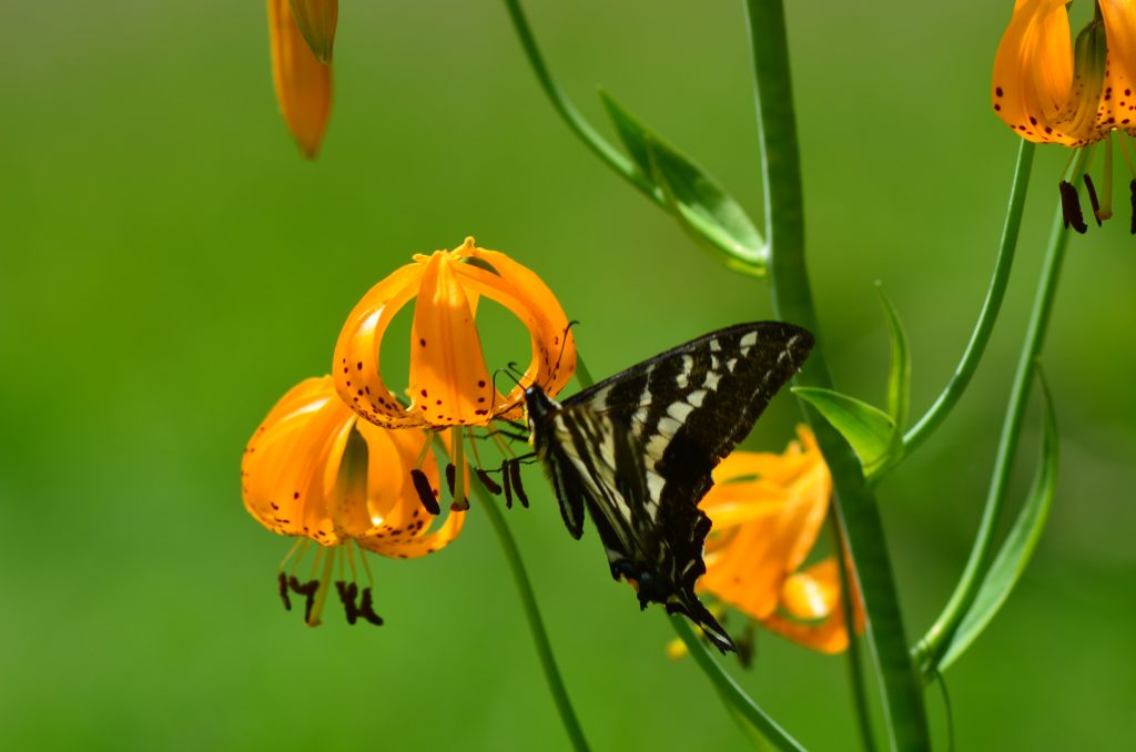
A huge log had fallen so we walked out on it to the middle of the meadow. Tall meadow grass dotted with wildflowers surrounded us and butterflies flew all around.
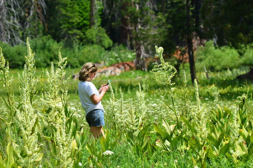
Since it was not crowded, I found it relaxing and enjoyed listening to the sounds around me. We hated to leave this idyllic setting.
Back on the General’s Highway, the road winded its way around hairpin turns to the foothills area, passing Hospital Rock where the Powisha Native Americans once settled. By the time we exited Sequoia at the Ash Mountain entrance, we had descended 5,200 feet from the 6.900-foot elevations at the Giant Forest.
For more information about Sequoia and King Canyon, click here.
