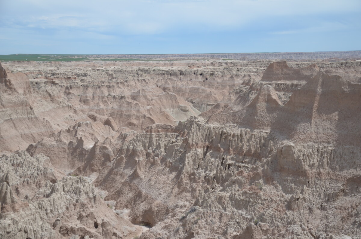
Most people automatically think of Mt. Rushmore when they hear about traveling to South Dakota. But the area also features Badlands National Park, just 75 miles east of Rapid City.
Named “mako sica” or bad lands by the Lakota Indians, the eroding rocky terrain offers no suitable farming opportunities. Even French Canadian trappers in the 1800s called the land “le mauvaises terres a traverser” translating to bad lands to cross. Besides South Dakota, badlands exist in southwest Wyoming, eastern Montana, and even North Dakota.
Don’t let the name Badlands deter you from visiting. While “bad” in the sense of farming or crossing over on horseback, these formations resemble a moonscape more than anything else on the planet.
The Park
For thousands of years, native peoples lived and hunted in the area. When the homesteaders arrived in 1889, troubles erupted and multiple skirmishes occurred. While not in the park boundaries, the Massacre at Wounded Knee, which killed over 200 Indians in 1890, took place nearby.
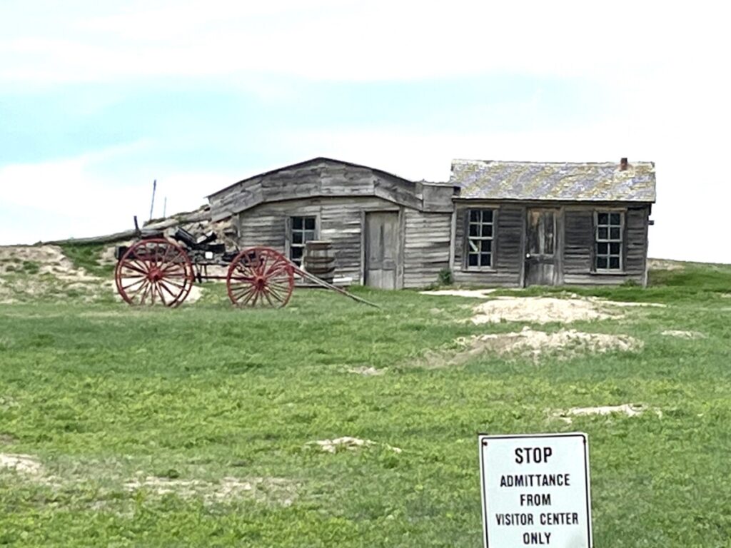
Homesteaders faced harsh living conditions causing the government to reduce the time requirement from five years to three years and increase the acreage per homestead to 640 acres. Most pioneers lived in sod houses that measured 12 x 14 feet until they acquired the means to build more permanent wood structures. Just before the eastern entrance of the park, Prairie Homestead features tours of a 1909 sod house.
Even still, homesteaders only occupied about half of the Badlands area. Around 1909 former Governor (and later Senator) Peter Norbeck and others sought approval for a national park, not only for its bucolic beauty but to preserve the rich fossil beds. The government began purchasing land and FDR signed the bill creating Badlands National Monuments in 1939. In 1978, Badlands earned national park status.
Scenic Drive
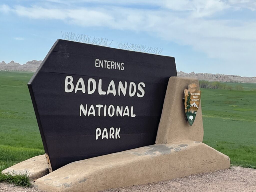
The best way to see the park is via the 30-mile Badlands Loop Road. Most people recommend taking the road from east to west so we exited I-90 at exit 131. Since the Minuteman Missile National Historic Site sits at the same exit, we made a quick stop before entering the park. Once inside Badlands, the scenic loop took us past everything we wanted to see.
Hiking
Entering the park at the Northeast Entrance, we soon arrived at the large parking lot for the three short hikes we wanted to take – the Door, the Window, and the Notch trails. Visitors suggested parking closer to the southern side of the parking lot since it’s less crowded and closer to the Notch Trail.
The Notch Trail
We stopped at the large parking lot to take the 1.3-mile Notch trail. If you can only do one hike at Badlands, this is the one to do. As we walked further into the canyon, a tall wooden ladder appeared. At first, the ladder seemed easy. However, by the time we neared the top, the ladder climbed almost vertically.
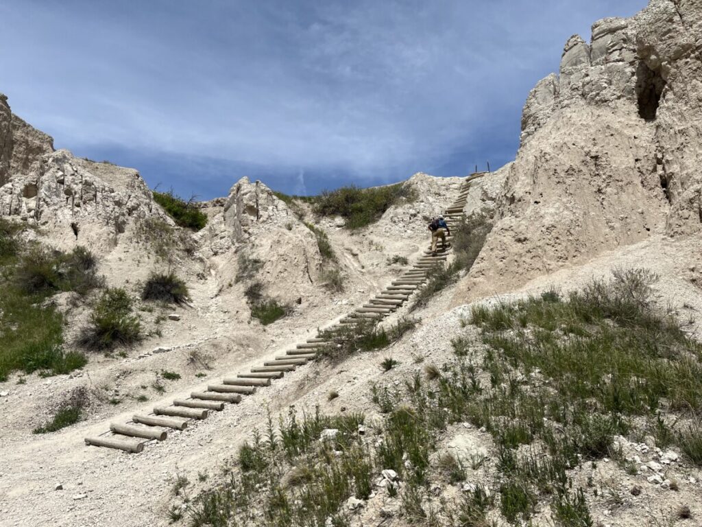
At the top, the trail wended along ledges to the left. Since heights sometimes bother me, I stayed close to the wall next to me. Turning around to see the sweeping views, I noticed a short line of people waiting to travel on the ladder. I always say, “What goes up, must come down.” Fearing the climb down the steep ladder, I was ready to get back to solid ground.
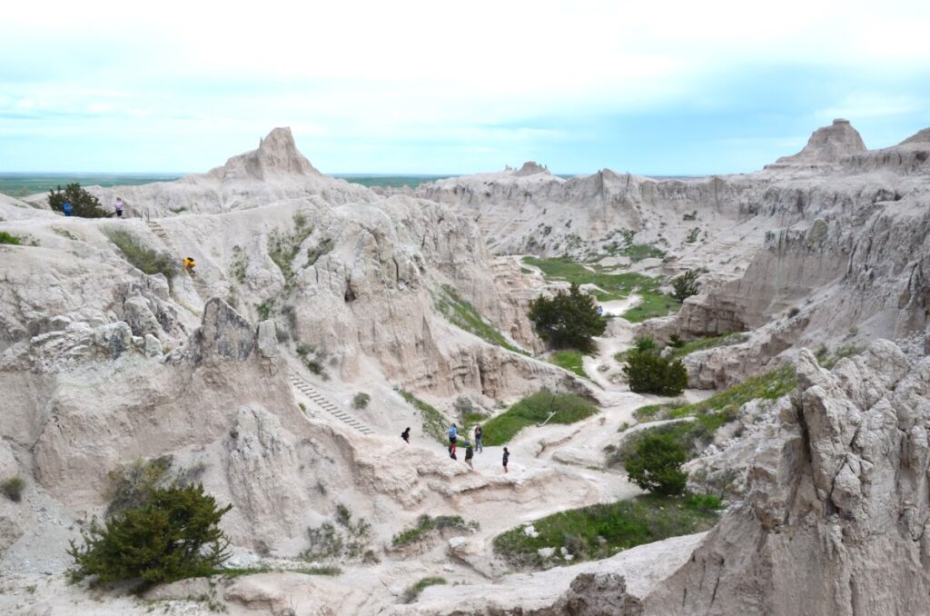
Surprisingly, the climb down the ladder wasn’t bad at all. Although we didn’t complete the entire Notch Trail, I enjoyed the part we did take. Supposedly we were close to the notch that affords views of the White River Valley and visitor center. However, I see why it’s not recommended for people with a fear of heights.
The Window and Door Trails
After the short 0.25-mile hike called the Window Trail, we explored the 1-mile Door Trail, which quickly became my favorite. The trail led us past prairie grasses onto a boardwalk through the Badlands Wall. We then hiked along the rocks which resembled a moonscape. Instead of a trail, numbered posts (which were sometimes hard to spot) marked the path to a sign appropriately labeled “End of Trail.”

I loved that we not only saw the badlands, but we walked across them. Each twist and turn afforded us different views.
Visitor Center and Dining
We stopped at the Ben Reifel Visitor Center before heading over to the Cedar Pass Lodge next door. As the only lodge and restaurant inside the park boundaries, we welcomed a chance to order before the noon lunch crowd arrived. The Just Ahead App, the guided audio tour we used in the park, mentioned the restaurant’s famous Sioux Indian Tacos made with homemade fry bread. It did not disappoint and the casual restaurant proved quick service and good food.
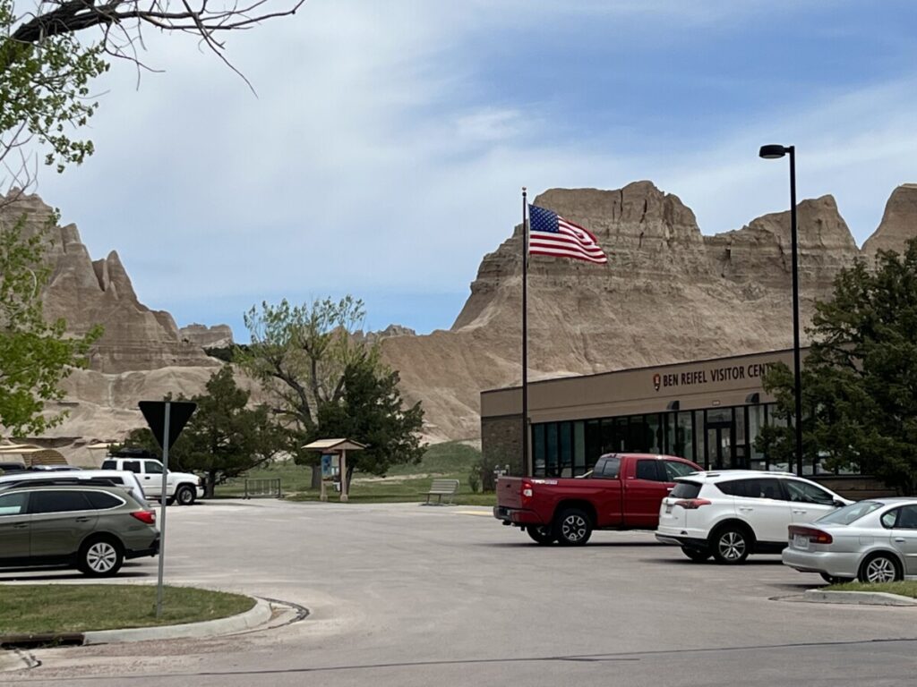
After purchasing a few items in the extensive gift shop, we got back in the car for the rest of the scenic drive. As I mentioned before, we’ve used the Just Ahead App through several national parks and Badlands was no exception. Instead of having my head buried in guidebooks, I could take in the scenery as we listened to the narrator point out various points of interest.
Scenic Overlooks
The road features 14 scenic overlooks, all with different views of the badlands. According to the NPS, the badlands formed from the build-up of rocks and sediment called deposition, and the opposing force of erosion from rivers and weather.
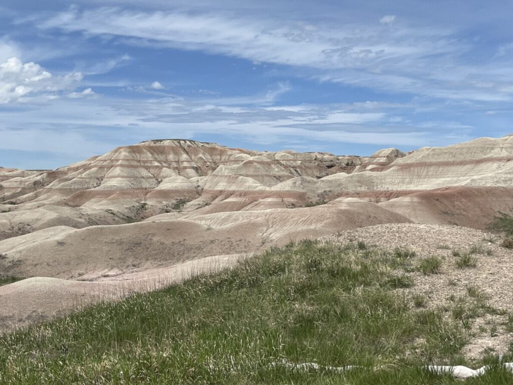
The badlands consists of feature different eras of rock formations deposited over millions of years. The top layer consists of the Sharps Formation, which consists of volcanic ash. Below that lies the Brulee Formation and the claystone beds of the Chadron Formation. Bands in the rocks are caused by fossilized soils and can best be seen at Big Badlands Overlook.
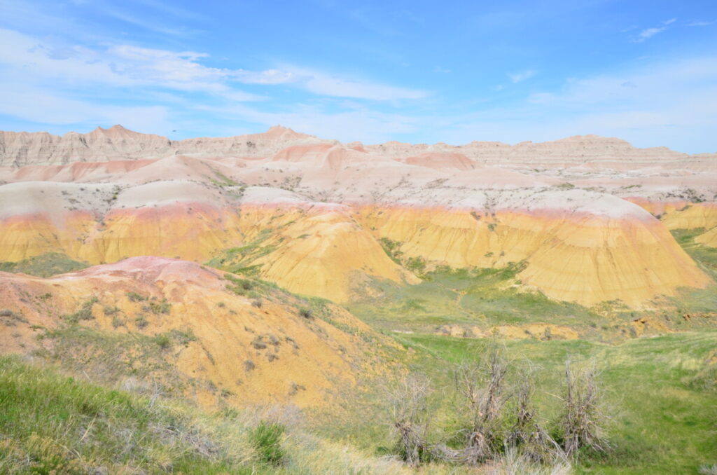
One of my favorite sections represented some of the oldest rocks in the park. Appropriately named Yellow Mounds Overlook, the badlands colors change from shades of pink to yellow. And not a pale yellow color, but a bright, “can’t miss” yellow.
Scientists say the Western Interiorway Sea receded in the area over 67 million years. This caused soil enriched with the mineral, Goethite to become fossilized in the rocks of the Pierre Shale (the rocks below the Chadron Foundation). It’s the Goethite that creates the yellow color and it happened millions of years ago!
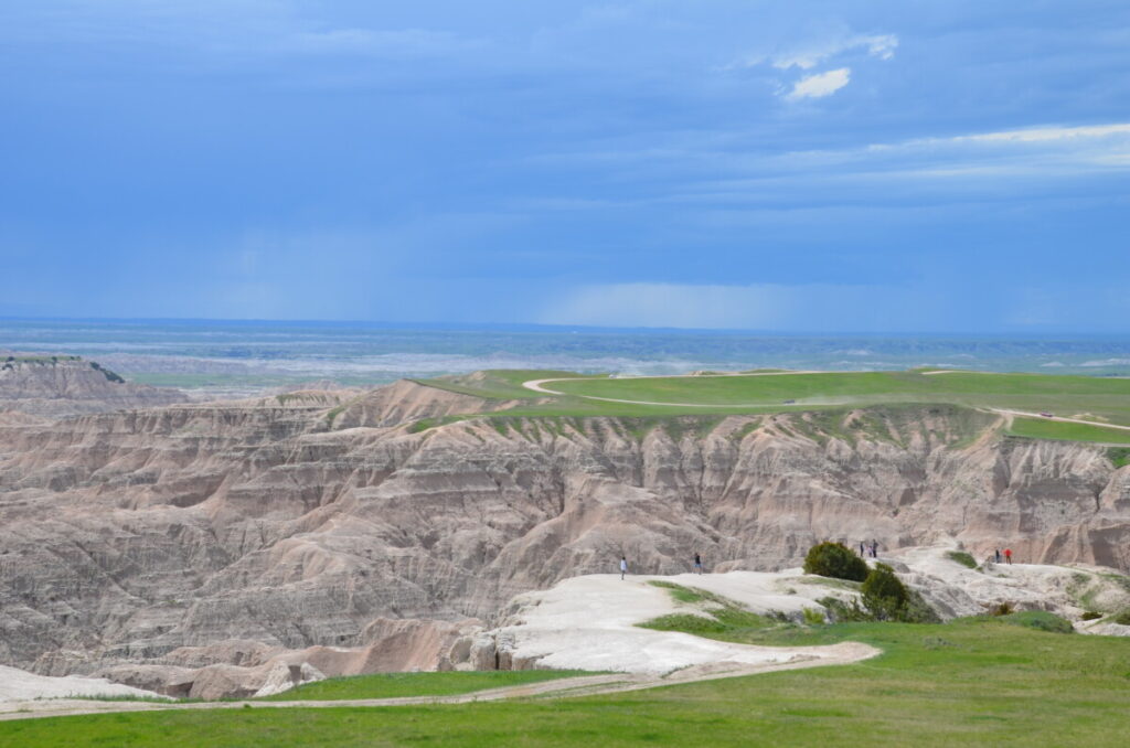
Each overlook provided something different, which is why the loop can take several hours to complete with all the frequent stops. However, we noticed something as we neared the other end of the loop toward the Pinnacles Entrance Station. Instead of looking up at the formations, we found ourselves looking down deep into canyons.
Sage Creek Rim Road and Other Areas of Badlands NP
Although we stayed on the loop, visitors can take the five-mile Sage Creek Rim Road north of Pinnacles Overlook. The dirt/gravel road features a few more overlooks and a prairie dog town. The best wildlife viewing reportedly takes place here. Although on exiting the park, we saw tons of prairie dogs.
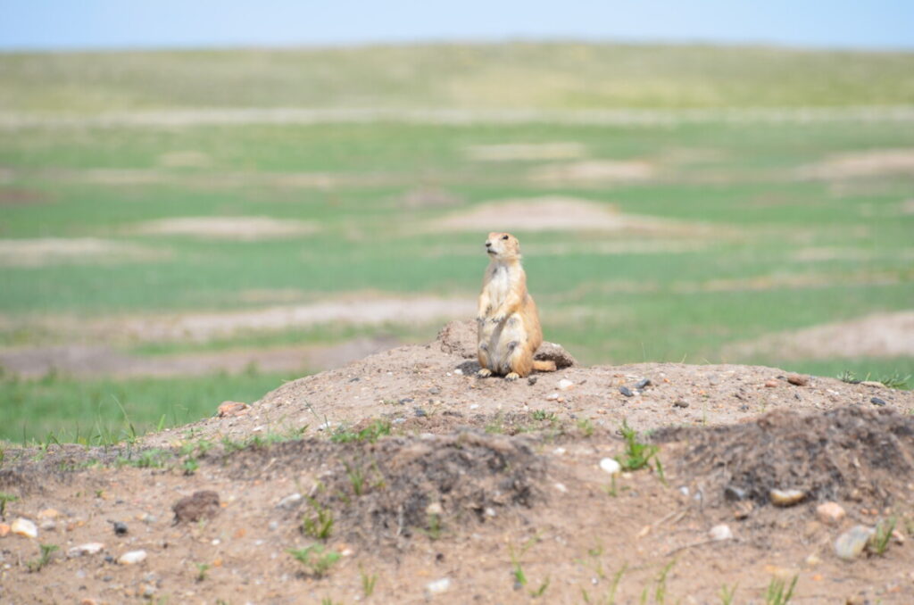
While the North Unit with its Scenic Loop is the most visited, Badlands NP operates a South Unit within the Pine Ridge Indian Reservation. With no paved roads, the area is best for backcountry explorers but features wetlands, a forest, and the Stronghold Table, the site for one of the last ghost dances.
Conclusion
Badlands can be visited in a few hours or up to an entire day. With only a handful of hiking trails, there’s no need to spend the night in the park. However, if the weather cooperates, sunrise and sunset afford some of the best photo opportunities.
While some national parks start looking the same, Badlands presents topography you won’t see anywhere else in the US.
For more information about the park, click here.
