Yay! We made it to North Dakota and there’s no better place to visit than Theodore Roosevelt National Park near Medora.
Our country’s 26th (and at the time – youngest) president discovered the beauty of North Dakota on a hunting trip. After his wife and mother died in 1884, Roosevelt returned to the state, ultimately owning both the Maltese Cross Ranch and the Elkhorn Ranch. It’s only fitting that the national park named in his memory consists of this land.
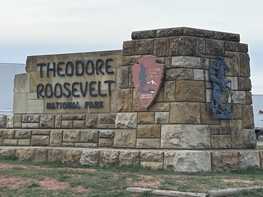
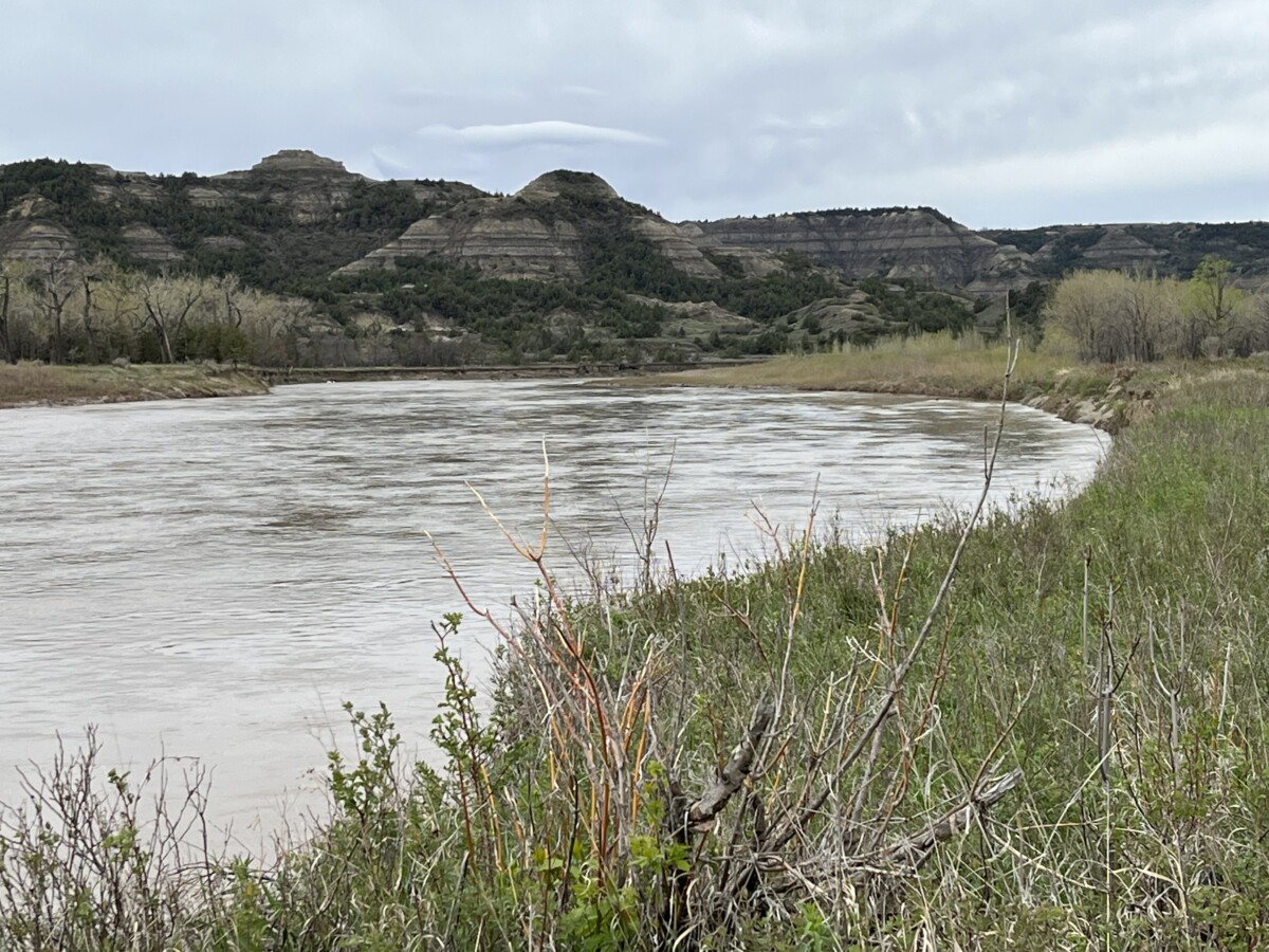
Featuring the badlands of North Dakota along the Little Missouri River, the 70,000 acres of Teddy Roosevelt National Park (TRNP) consist of three sections – The North Unit, Elkhorn Ranch Unit, and South Unit. The North Unit lies about 70 miles from the South Unit and the Elkhorn Ranch Unit is the most remote and hardest-to-reach area of the park. The South Unit is the most widely visited with its proximity to Medora and Dickinson.
Medora
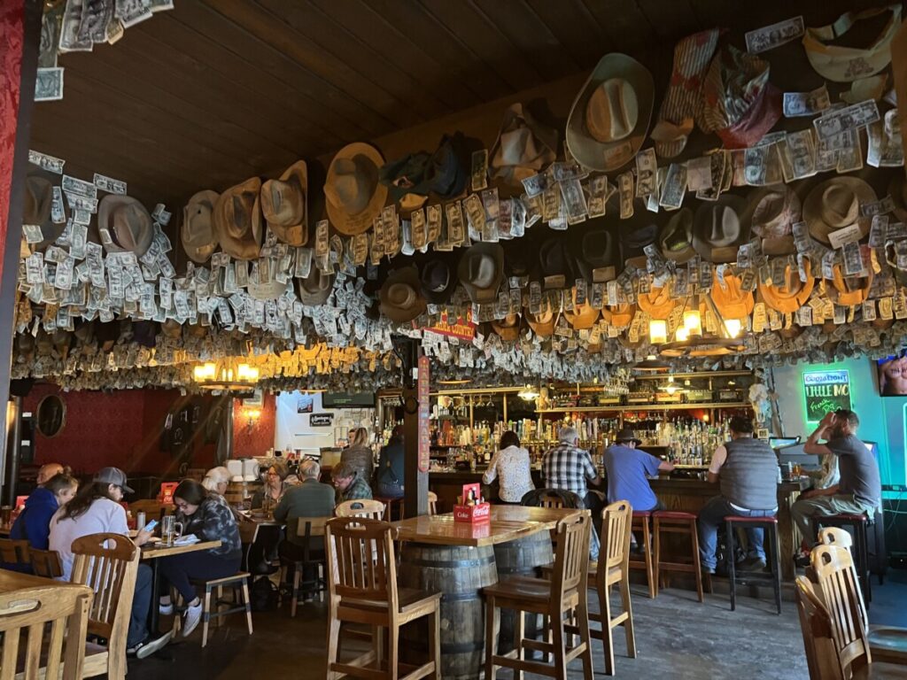
While we didn’t stay in the small gateway town of Medora, we did eat dinner at Little Missouri Saloon. Big tourist draws to Medora include horseback riding and the Medora Musical. However, both events didn’t open for the summer season until after our trip concluded.
While we only had time to explore TRNP, I wished we could have toured the Chateau de Mores State Historic Site. The Marquis de Mores, a French businessman, founded and named the town for his wife, Medora Von Hoffman in 1883. After closing his meatpacking plant in 1886, the Maquis and his family left their 26-room “chateau” and the state for good.
Painted Canyon Visitor Center
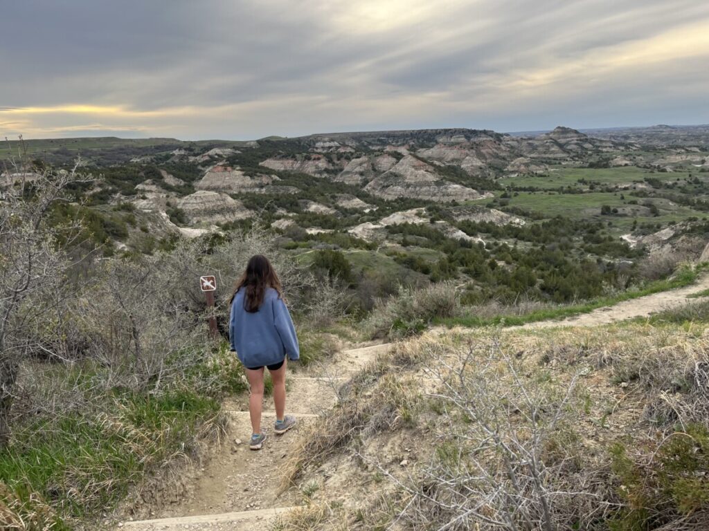
After dinner, we stopped at the Painted Canyon Visitor Center, about ten miles east of Medora on the way to our hotel in Dickinson. This part of TRNP doesn’t charge admission and offered breathtaking views of the badlands at dusk. We opted to hike the 1-mile Painted Canyon Nature Trail which was well worth our time. The loop descended down into the canyon and gave us a quick overview of what we’d see the next day.
If the park looks vaguely familiar – like Petrified National Park in Arizona – you’re right. TRNP has the third highest concentration of petrified wood in the country. The 10-mile Petrified Forest Loop is the best way to see the forest, but the trailhead can only be accessed on gravel roads. Needless to say, my crew wasn’t going up for a hike of that length.
North Unit
Fewer people visit TRNP’s North Unit because it lies about 70 miles from the South Unit in a less populated part of the state. However, we wanted to see as much of the park as possible so we drove to the North Unit the next morning. The drive proved fairly direct north of I-94 along US 85 but was mostly flat. Although it didn’t really affect us, the North Unit follows Central time, while the rest of the park operates on Mountain time.
Cannonball Concretions
Once inside the North Unit, the park attendant informed us that only half of the 14-mile scenic road was open due to heavy rainstorms the previous week. We figured we’d see as much of the North Unit as possible and made our first stop at the Cannonball Concretions.
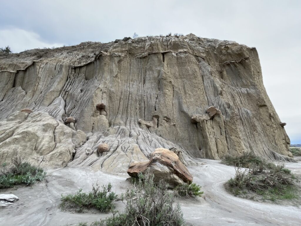
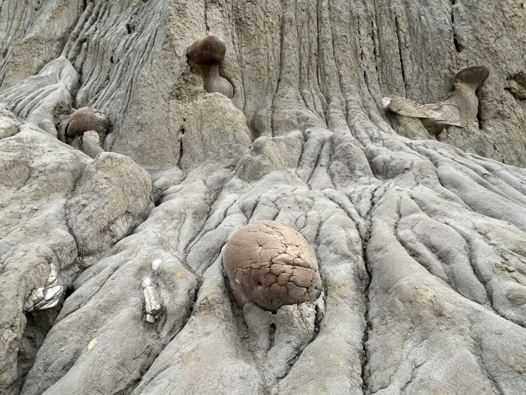
As we walked along a path, these huge balls, called concretions, appeared on the rocks. Their formation has something to do with mineral deposits sticking together to form shapes. The pictures don’t capture the true size, but we stood next to one that was four feet wide by three feet tall!
Little Mo Trail
While walking around the concretions, we met up with a ranger who suggested we walk the Little Mo Trail nearby. The 0.7-mile paved trail was mostly flat and led us to the Little Missouri River.
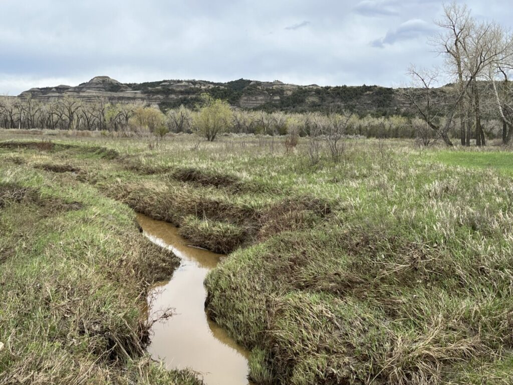
From the short trail, we could have extended our hike with an additional 0.7-mile path. But since it was muddy and the longer loop was unpaved, we headed back to the car instead. All four of us later agreed the Little Mo trail was our favorite in the North Unit.
Caprock Coulee Nature Trail
At the parking area for Caprock Coulee, the road was closed. Although we didn’t get to see the Riverbend Overlook or the Oxbow Overlook on the scenic drive, we got out to walk parts of the 1-mile Caprock Coulee Nature Trail (not to be confused with the Caprock Coulee Trail below).
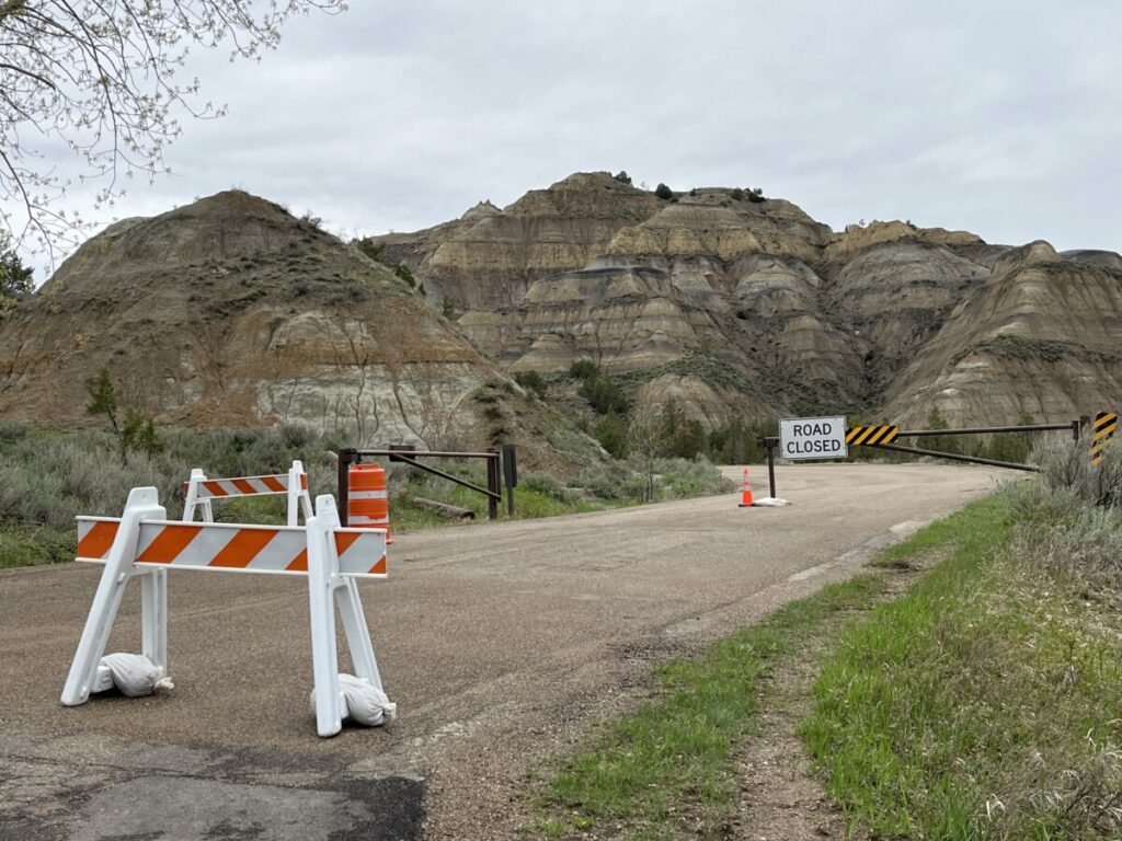
While we didn’t have time, many visitors report the moderately-rated Caprock Coulee Trail is not to be missed. The 4.3-mile Caprock Coulee Trail follows the Caprock Coulee Nature Trail for less than a mile before veering off to climb almost 600 feet in elevation. The trail takes hikers to the River Bend Overlook and along a ridge for stunning views. Many people report walking near bison and other wildlife! I can believe it as we spotted groups of bison grazing in the grass.
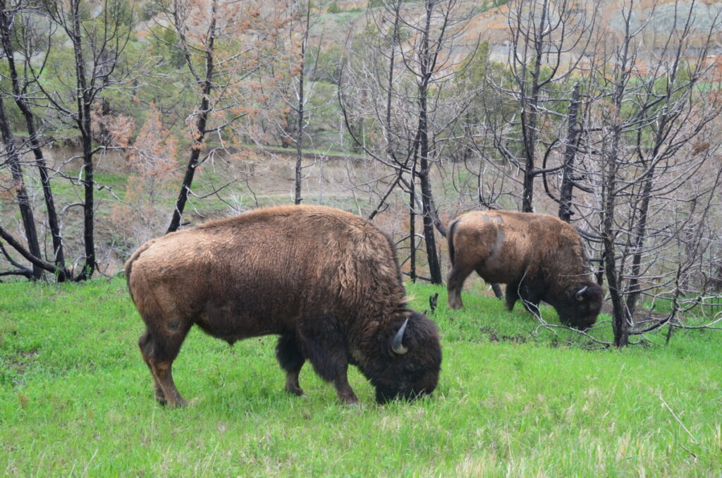
All in all, we spent about an hour and a half in the North Unit. Had the rains not washed out parts of the scenic road, we would have visited the River Bend and Oxbow Overlooks and probably hiked the Achenbach Trail 1.5 miles to Sperati Point.
Look at the next post for our visit to the South Unit of the park. For more information about Teddy Roosevelt National Park, click here.
